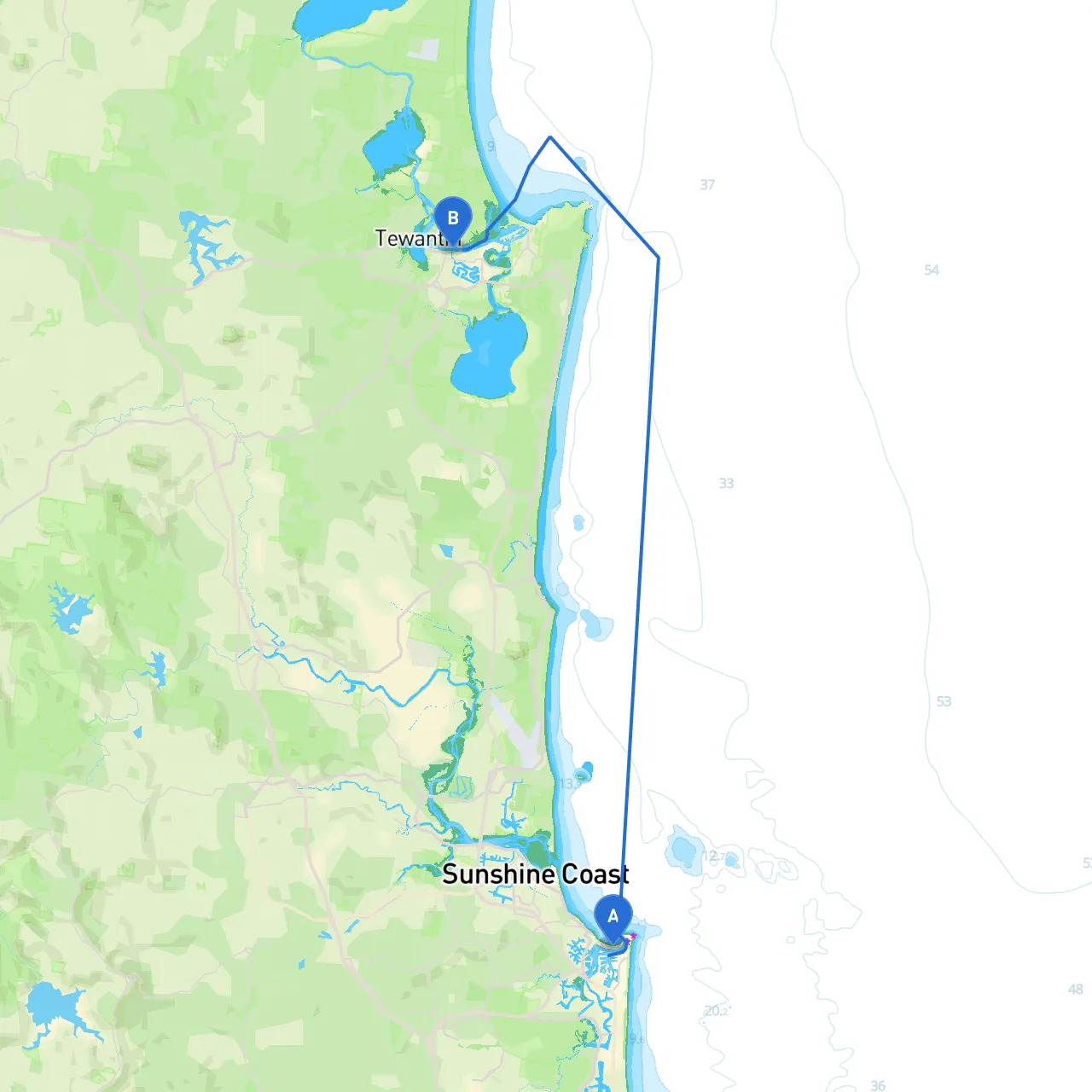
Pilotage Plan from Mooloolaba, QLD, AU to Noosaville, QLD, AU
Overview:This trip from Mooloolaba to Noosaville offers a blend of serene coastal navigation and engaging stops. The journey stretches approximately 12 nautical miles along the beautiful Sunshine Coast, where navigation is generally straightforward but requires attention to changing conditions. This plan is tailored for leisure sailors, weekend cruisers, and experienced boaters looking for a scenic route with potential shelter options.
Route Details:
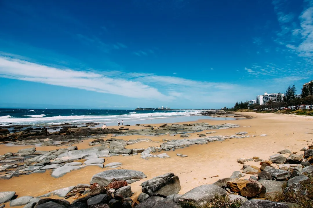
1. Starting Point - Mooloolaba: Located at the mouth of the Mooloolah River, Mooloolaba is a bustling area with strong tourist appeal. Before your departure, check the local weather and ensure a safety briefing is conducted for all onboard. Familiarize yourself with navigation markers as you exit the marina.
2. Navigating Out of Mooloolaba: As you depart, keep an eye on the Mooloolaba Bar. It can experience sudden changes in conditions; it’s safest to navigate during high tide. The bar is marked, and you should follow the established channel marked with green and red lateral buoys.
3. Mid-Route Considerations: After clearing the bar, set a course towards Point Cartwright. This iconic landmark features a lighthouse that is crucial for navigation and provides a striking visual cue. Be cautious of any fishing boats and local water activities. The waters around this point can be busy, particularly on weekends.
4. Points of Interest: - Point Cartwright: An ideal stop for a brief swim or a picnic if the weather permits. The area is quite exposed, thus suitable primarily in calm conditions. - La Balsa Park: A little further along, this is a great spot for those desiring a break. It features picnic facilities and offers a picturesque view of the lagoon as you enjoy onshore activities.
5. Approaching Noosa River: As you head towards the Noosa River entrance, monitor your depth closely; the area can become shallow in certain spots, especially near the river mouth. The Noosa River is well-marked with navigation aids. Be sure to respect any directional buoys and observe local boating regulations regarding no-wake zones, which are in place to protect wildlife.
6. Notable Landmarks: - Noosa Heads: This picturesque area, just before the entrance to Noosaville, is famous for its beaches and parkland. It's an excellent area for a leisurely stop and good for a swim. The sight of surfers riding the waves is often a highlight!
Safety Protocols:
Alternative Shelters:If conditions worsen, you have multiple shelter options:
Conclusion:This route from Mooloolaba to Noosaville is well-suited for day-trippers looking to enjoy natural beauty, engage with local activities, and maintain a safe passage on their boat. The combination of scenic views, notable landmarks, and varied opportunities for stops makes this a fulfilling journey for all aboard while emphasizing the importance of safety and awareness on the water. Enjoy your trip!