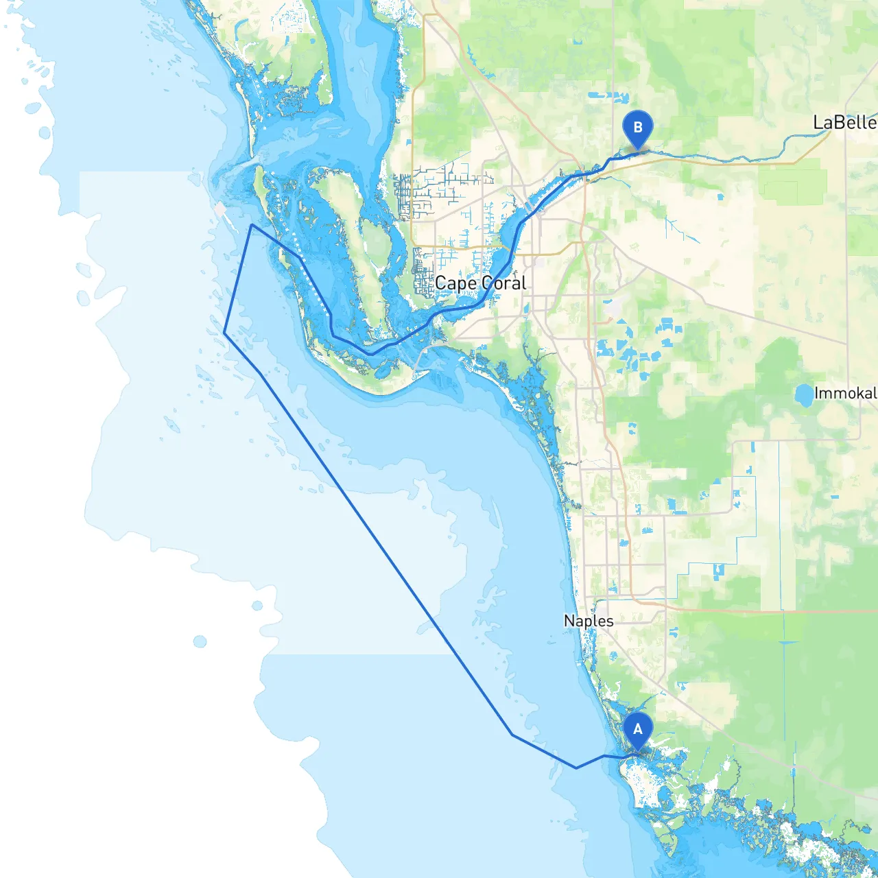
Pilotage Plan: From Marco Island, Florida to Ft. Myers, Florida
Overview:This route offers a charming journey from Marco Island to Ft. Myers, perfect for leisure cruising enthusiasts who want to soak up the stunning coastal scenery. The trip spans approximately 30 nautical miles and takes you through a variety of ecosystems and urban landmarks, combining natural beauty with opportunities for exploration. However, safety is paramount, so let’s navigate through highlights, potential hazards, and points of interest along the way.
Starting Point: Marco Island, FL (Coordinates: -81.7251667, 25.97375)
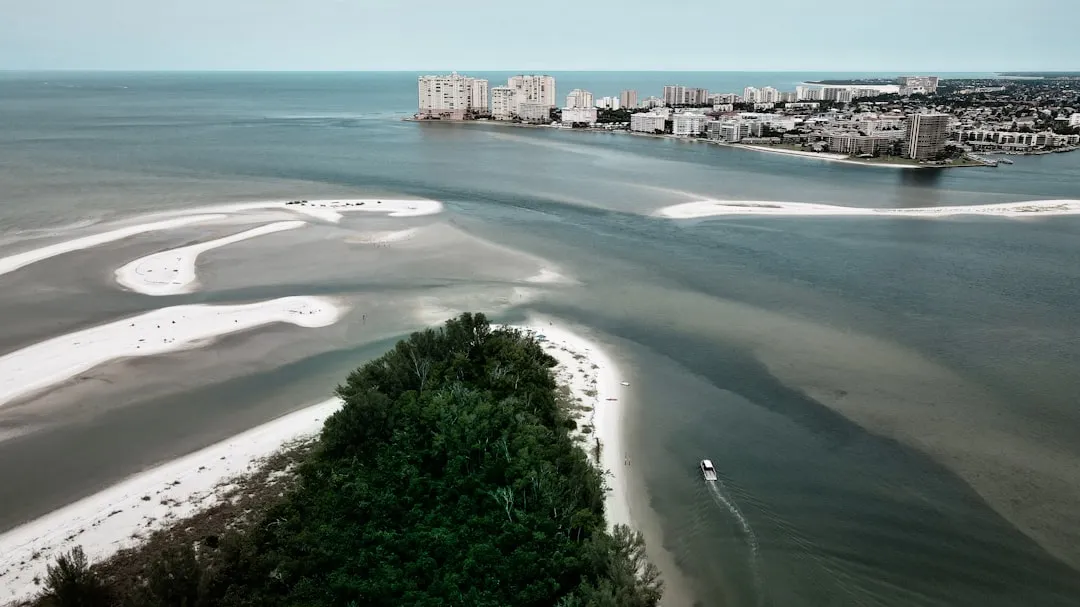
Once you set sail from Marco Island, prepare to experience the mesmerizing coastal wilderness surrounding the Ten Thousand Islands. Keep an eye out for navigation hazards, including shallow waters and shifting sandbars. The area is a haven for wildlife, including dolphins and manatees, which can often be spotted if you cruise quietly.
Shelter Options:
As you make your way through the Ten Thousand Islands National Wildlife Refuge, be mindful of the tidal currents and the intricate maze of mangrove islands. It's a stunning area renowned for kayakers and nature enthusiasts. Maintain a lookout for the navigational aids that mark the channels – these are your best friends here!
Points of Interest:
After enjoying the islands, head toward Gordon Pass, your gateway to the Gulf of Mexico and the Caloosahatchee River. Keep in mind the shifting currents through Gordon Pass and pay attention to the buoys marking the deep water channel.
Hazards to note:
Shelter Options:
Upon entering the Caloosahatchee River, brace yourself for the busy scenes of local boating activity. The river is wide, but watch for recreational boats and jet skis, especially on weekends. Observing the local boating regulations and speed limits is essential for safe navigation.
Points of Interest:
Destination: Ft. Myers, FL (Coordinates: -81.7258333, 26.72195)
Congratulations on your journey! Ft. Myers offers a vibrant boating community with ample docking options. Upon arrival, ensure you’re aware of the local marina regulations, including any fees for overnight stays and specific docking arrangements.
Throughout your trip, utilize local navigational charts and apps like Savvy Navvy, which will provide real-time data and updates on tides, currents, and potential hazards. Be vigilant with markers, especially during low tide, as shoals can shift frequently in this coastline.
Conclusion:This route from Marco Island to Ft. Myers is particularly suitable for recreational boaters seeking a mix of adventure and nature. With proper planning and attention to safety protocols, this journey will not only fulfill your boating desires but will also create lasting memories amidst Florida's stunning coastal beauty. Enjoy the voyage!