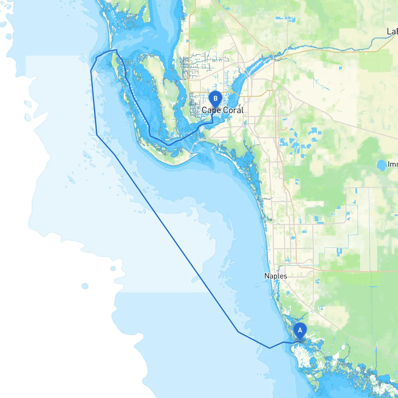
Pilotage Plan: Marco Island, Florida to Cape Coral, Florida
Overview of the JourneyEmbarking on a boat trip from Marco Island to Cape Coral is an excellent choice for both novice and seasoned boaters. This waterway journey offers scenic coastal views, ample opportunities for exploration, and the chance to experience the diverse marine life that the Florida Gulf Coast has to offer. The route is particularly suitable for recreational boaters looking for a mix of adventure and relaxation while prioritizing safety and navigational awareness.
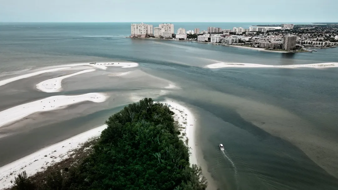
Starting Point: Marco Island, FloridaAs you set sail from Marco Island, you'll appreciate the beauty of its serene waters and its proximity to the Ten Thousand Islands—a sprawling mosaic of wetlands and mangroves. Before leaving, take a moment to familiarize yourself with local conditions; check the weather reports and ensure your vessel is fully equipped for the journey.
Key Points of Interest:1. Riverside Park: Just before you depart, a quick stop at the park for a picnic could be delightful.2. Ten Thousand Islands National Wildlife Refuge: As you navigate through these pristine waters, enjoy spotting dolphins and manatees.
Navigational Highlights Along the Route1. Clam Pass: Be cautious as you maneuver through this area; watch for shifting sands and stay within the marked channel. It’s a great place to anchor for a lunch break, offering beautiful views over the beach.2. Big Marco Pass: This is a crucial navigational point where local knowledge is vital. Pay attention to tidal currents which can be strong, and be prepared for shallows nearby.3. Caxambas Pass: Another essential point, known for frequent fishing activity. Watch for fishing boats and ensure you're following local regulations regarding fishing zones.
Shelter BaysAs you head toward your destination, plan to utilize the following areas as potential shelter should the weather turn inclement:
Navigational Aids and RegulationsAttention must be paid to navigational aids along the way:
Final Destination: Cape Coral, FloridaArriving in Cape Coral, prepare for a vibrant waterfront experience. The canals that wind through the area create an ideal playground for boating enthusiasts. Consider visiting the local parks or taking a stroll along the waterfront to unwind after your adventure.
In summary, this routing plan lays out a balanced trip filled with safety considerations while still promising an exciting exploration of Florida’s Gulf Coast. Staying aware of weather conditions, navigational aids, and local regulations will set you up for a memorable journey. Happy sailing!