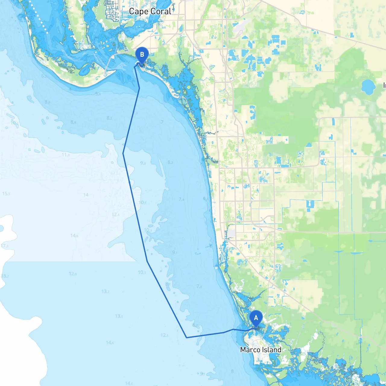
This scenic waterway route from Marco Island, Florida, to Fort Myers Beach promises captivating views and rich opportunities for exploration while maintaining a focus on safety and navigation. The journey accommodates both seasoned sailors and eager novices who wish to appreciate the stunning Southwest Florida coastline. With careful planning and mindful awareness of navigational aids and local conditions, this trip is destined to become a highlight of your boating adventures.
2. Caxambas Pass - Navigate through Caxambas Pass, a bustling channel that connects the Gulf of Mexico to the inland waterways. Here, the currents can be swift, especially during tidal changes, so assess the tide tables in advance to plan your timing correctly.
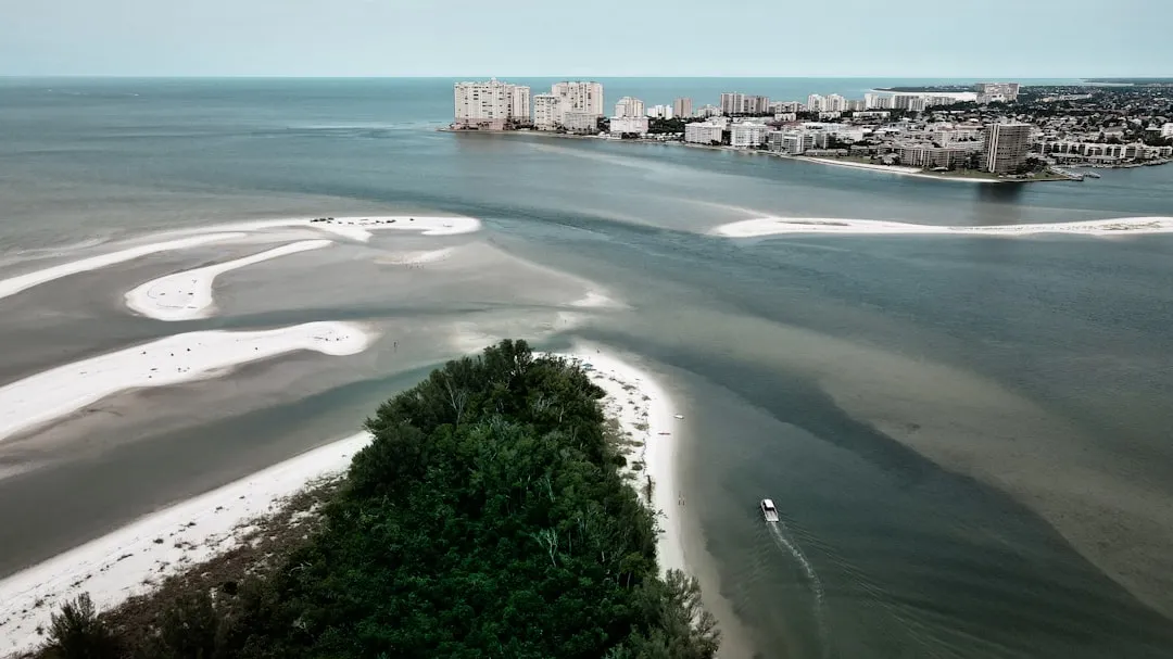
3. Points of Interest: - Cape Romano: A unique landscape featuring abandoned beach homes, this site makes for an intriguing photo op and a stretch break. Ensure to anchor securely and keep a watchful eye on your surroundings for any sudden changes in the weather. - Collier-Seminole State Park: Located to the north, this park offers opportunities for hiking and exploration amidst beautiful mangrove ecosystems.
4. Navigational Aids: - As you continue on your route towards Fort Myers Beach, you will encounter various navigational buoys and markers, including the prominent "Flashing Green or Red" channel markers indicating safe passage. Be vigilant about adhering to the marked channels to avoid shallow spots.
5. Big Marco Pass - As you approach Big Marco Pass, radar and GPS will be invaluable tools for navigating the potentially crowded waters. Keep a lookout for local fishing boats and manatees, especially during the evenings or dawn when they may be more active on the surface.
6. The Isles of Capri - A brief detour to the Isles of Capri offers a chance to explore a quaint community with opportunities for dining and local shopping. It’s a wonderful stop for lunch if the weather allows, but be sure to monitor the forecast to ensure safe returns to your boat.
7. Moss Marina & Hurricane Pass - Should you encounter rough conditions, Moss Marina is a great place to seek refuge and ride out any storms. Check for transient slips and ensure your boat is secure.
8. Approaching Fort Myers Beach - As you navigate towards Fort Myers Beach, watch for the mouth of the Estero River. The scenery transitions significantly, with vibrant beach life and bustling activity. The navigational markers here can be tricky, as performance and recreational boaters often converge around this area.
This captivating route from Marco Island to Fort Myers Beach beckons those seeking safe yet enjoyable boating experiences. It connects lush natural scenery with cultural engagement, making it not just a journey, but a memorable adventure on the waters of Florida.