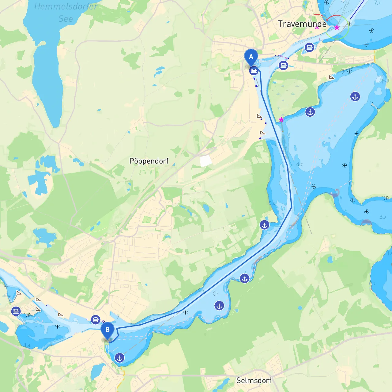
Pilotage Plan: Journey from Lübeck, DE to Lübeck, DE
Overview:This pilotage plan outlines a scenic and well-considered route for your boating adventure from Lübeck, Germany, starting at coordinates (10.8565, 53.9527) and finishing at (10.8018, 53.8914). This journey is approximately 10 nautical miles long and is well-suited for recreational boaters who enjoy exploring tranquil bays and accessing cultural sites while prioritizing safety.
1. Departure from Lübeck
Starting Point:
- Coordinates: 10.8565, 53.9527
- Departure Harbor: Lübeck Marina is equipped with facilities that cater to all your pre-departure needs, from fuel to provisions.
Safety Considerations:
- Ensure that your boat is seaworthy and equipped with the necessary safety gear, including life jackets, flares, navigational lighting, and a VHF radio. Additionally, the local maritime regulations recommend checking the weather forecast and tides before setting off.
Local Points of Interest:
- The iconic Holstentor (Holsten Gate) can be seen from the harbor area, a key landmark steeped in Lübeck's Hanseatic history.
2. The Route Overview
As you set sail, make your way southward through the beautiful waters of the Trave River. Keep the shoreline landmarks in view to assist with navigation.
Navigational Aids:
- Pay attention to the buoys marking the shipping channels. The canals are well-marked with navigational signs, so keep to the designated paths to avoid shallow waters.
Hazards and Considerations:
- Be mindful of fishing vessels and their nets. Maintain a lookout for other recreational boats, and adjust your speed accordingly. Frequent traffic particularly occurs near river points.
3. Notable Shelters along the Route
Bays and Shelters:
- If the weather takes a turn for the worse, consider heading for the bays around Travemünde. The Travemünde yacht harbor offers a secure spot with facilities and is merely a detour off your route. It also has great cafes and restaurants to rest and recharge.
4. Points of Interest en Route
Cultural Stops:
- Near your mid-journey, stop at the scenic “Priwall” area, which is known for its beautiful beaches and local seafood. This is an ideal location for a lunch break or a swim if the weather permits.
Historical Significance:
- As you approach the Lübeck-Cols Straße area, admire the view of the old Lübeck cathedral rising majestically nearby, a UNESCO World Heritage site.
5. Arrival at Lübeck
Final Approach:
- As you navigate back towards your original dock, maintain a steady speed, and keep a vigilant watch for any newly appearing hazards such as buoys or floating debris, particularly near the harbor mouth.
Regulations:
- Be aware of local speed limits and no-wash zones to protect the banks and preserve the environment. Check for any special mooring requirements at the Lübeck Marina before docking.
Suitable Boater Type
This route is particularly suitable for recreational boaters and those new to navigating inland waterways. Its manageable length allows for a relaxed pace, ideal for families and individuals looking to connect with nature while exploring culturally rich locales. With proper planning and precautions, this journey promises to be both an enjoyable and educational maritime experience.
Recommended Boating Apps
To enhance your experience on this route, consider using these apps:
- Savvy Navvy: This user-friendly app provides excellent charts, automatically updates for weather conditions, and has route planning features.
- Navionics: Great for detailed charts and GPS tracking.
- Windy: Essential for checking marine weather and forecasts.
Prepare for a delightful adventure on the water as you explore the wonderful charms of Lübeck and its surroundings! Happy sailing!