Pilotage Plan: Key West, Florida to Tavernier, Florida
Overview
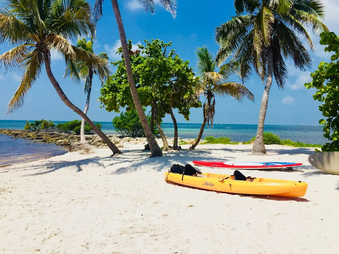
This captivating journey from Key West to Tavernier promises stunning views, fascinating marine life, and a healthy blend of relaxation and adventure. This route is particularly suitable for cruising boats and experienced sailors looking to explore the warm waters of the Florida Keys. With the route stretching approximately 70 nautical miles, you'll take in a mix of beautiful islands, vibrant wildlife, and notable landmarks, ensuring a memorable experience. Safety is paramount, so let's dive into the details.
Departure: Key West, Florida
Coordinates: Long -81.7875, Lat 24.57385 Key West is not only the southernmost point of the continental United States but also a vibrant hub for boating activities. Before setting off, ensure you have the proper charts and navigational aids on hand. Key West has various services for boaters, including repair shops, fuel docks, and provisions.
Notable Landmarks and Points of Interest
- Dry Tortugas National Park: A slight detour southwest, this park is well worth a visit for its crystal-clear waters and historic Fort Jefferson. Time your visit for a relaxing afternoon of snorkeling and exploring.
- Eastern Dry Rocks: A popular dive site, especially for those looking to see the famous Christ of the Abyss statue. Check local conditions for accessibility.
En Route: Safety and Navigational Aids
The route primarily follows the Intracoastal Waterway (ICW) and close offshore. Some notable navigational aids include:
- American Shoal Lighthouse: A prominent landmark located approximately 16 nautical miles east of Key West. Give it a wide berth when passing as it marks shallow waters.
- Sand Key Lighthouse: Another essential navigational aid that provides a striking view and requires careful navigation around its shallow areas.
- Boca Chica Channel: This narrow channel requires attention, with shifting sands and local boat traffic. Proceed slowly and watch for buoys.
Shelter Bays and Anchorages
Several bays along the route can provide reprieve should the weather turn unfavorable:
- Hurricane Hole: Located in the backcountry of the Key Largo region, it's a safe anchorage with sheltered waters.
- Blackwater Sound: This body of water offers plenty of shelter, particularly when winds are high. There are various keys providing opportunities for anchoring and beach exploration.
Arrival: Tavernier, Florida
: Long -80.5303, Lat 25.0033 Reaching Tavernier, you’ll find an ideal point for rest and recreation. The area offers amenities such as marinas, grocery stores, and dining options to replenish after your journey.
Local Regulations and Considerations
- Manatee Zones: Throughout the journey, especially near shallows and in the bays, be mindful of posted speed limits to protect manatees and other wildlife. Obey all posted markers.
- Fishing Licenses: If you plan to engage in fishing, ensure you have a valid Florida fishing license, whether you’re fishing from the boat or the shore.
- No-Wake Zones: Keep an eye out for no-wake markers, particularly near residential areas and marinas to comply with local regulations.
Recommended Boating Apps
For safe navigation, make use of top-rated boating apps. Among these, don't forget to check out Savvy Navvy - a user-friendly app that simplifies route planning and helps you avoid hazards on the water. Other notable apps include Navionics and MarineTraffic for real-time traffic updates.
Conclusion
This trip from Key West to Tavernier seamlessly blends adventure and safety, allowing you to savor the beauty of the Florida Keys while ensuring a secure and well-planned journey. With your navigation tools ready, your mind on local regulations, and a few potential hideaways mapped out, you're set for an unforgettable boating experience. Enjoy the gentle seas, stunning sunsets, and all the unique attractions the Keys have to offer!