
Embarking on a boat trip from Hingham to South Boston is an exquisite experience that showcases the stunning coastal beauty of Massachusetts. This route offers a mix of sheltered bays, scenic views, and opportunities for exploration while ensuring safety is prioritized throughout the journey. The trip is particularly suitable for cruising sailors and powerboat enthusiasts who appreciate calm waters and beautiful landscapes.
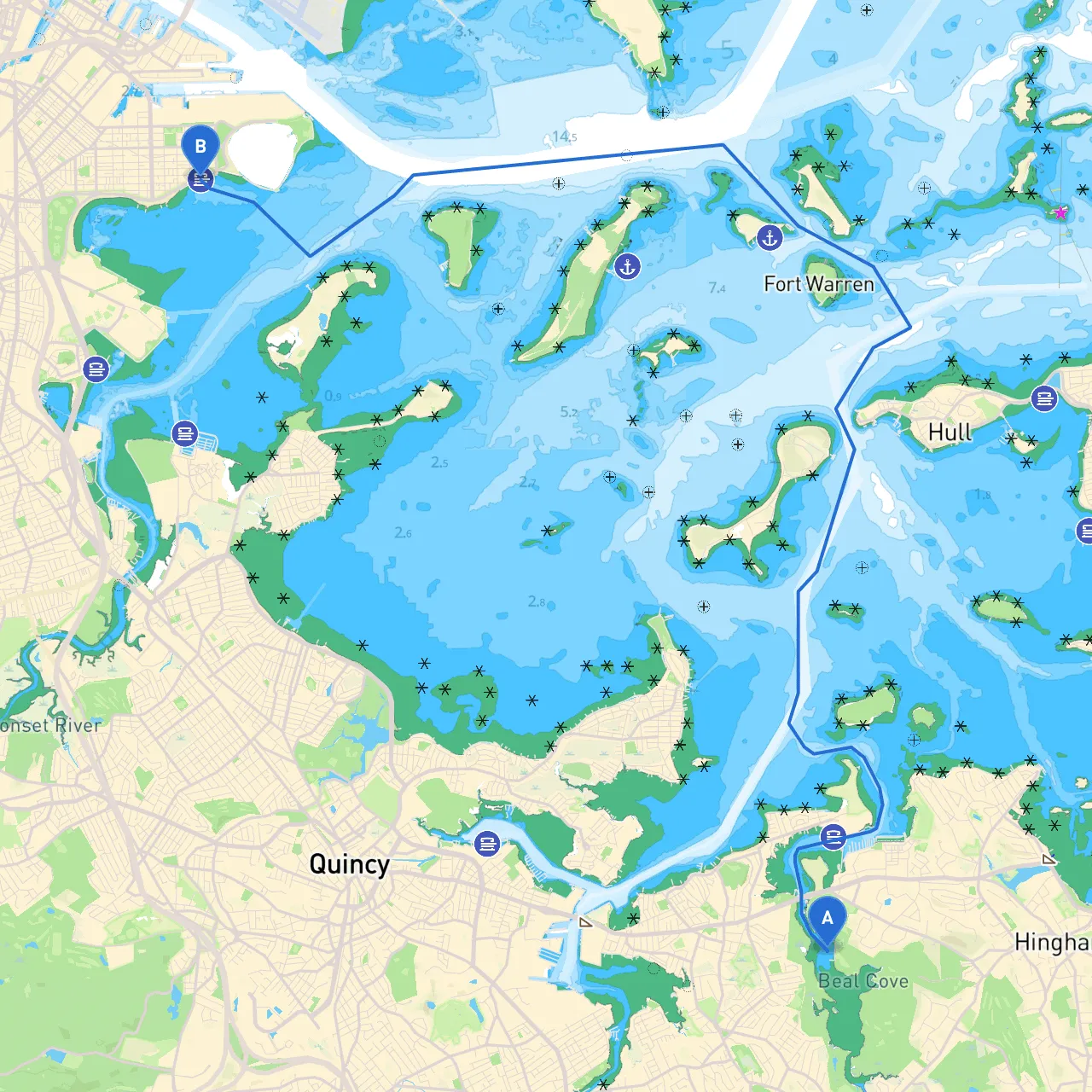
The total distance is approximately 10 nautical miles, offering a manageable day trip or an enjoyable afternoon excursion.
Hazards: Be aware of various moored vessels and navigational hazards such as small boats and floating debris.
Point of Interest: Before leaving, you can take a moment to admire the historic Hingham Shipyard and perhaps pick up provisions from one of the quaint shops nearby.
Shelter Option: If conditions worsen, consider pulling into Weymouth Back River for a secure mooring.
Navigational Aids: Pay close attention to any buoys marking navigable channels. The entrance to the Back River is well-marked with channel markers, providing a safe haven.
Hazards: Be on the lookout for larger vessels and ferry traffic. Maintain a safe distance from other boats and heed the signals from nearby ferries.
Channel Markers: Red and green buoys will guide you through the Gut. Always adhere to the markers indicating safe passage routes.
Point of Interest: Peddocks Island is a fantastic stop-off point for a picnic or exploration of historical ruins.
Weather Considerations: If high winds are forecasted, Boston Harbor can be comfortably navigated, but exercise caution when passing the open areas near Castle Island.
Regulatory Considerations: Be aware of the speed limits and no-wake zones as you near commercial docks. Remember to keep your distance from large vessels, particularly as you enter into the busy harbor.
Shelter Option: Should the weather take a turn for the worse, consider dropping anchor in the inner harbor around Spectacle Island, which provides good protection.
This route provides you not only with breathtaking scenery but ensures a balance of adventure with safety, making it perfect for both novice and seasoned boaters alike. Enjoy your journey!