
Pilotage Plan for a Boat Trip from Fort Walton Beach, Florida to Pensacola Beach, Florida
Starting Point: Fort Walton Beach, Florida Your adventure begins in Fort Walton Beach, a charming coastal city known for its beautiful white-sand beaches and crystal-clear waters. As you prepare to set sail, make sure to check the local weather conditions, tide tables, and ensure your vessel is seaworthy for the trip ahead.
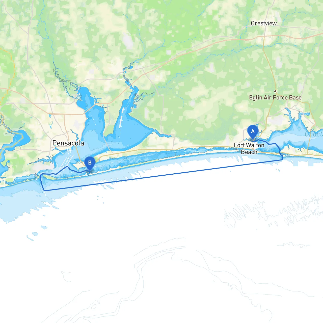
Route Overview: The journey from Fort Walton Beach to Pensacola Beach covers approximately 26 nautical miles and will take you along the picturesque waters of the Gulf of Mexico. The route is suitable for intermediate to experienced boaters who are comfortable navigating in open water and managing weather changes.
Section 1: Departing Fort Walton Beach Start by heading westward from your departure point. You’ll want to navigate past the docks and marinas, ensuring you maintain a safe distance from any commercial traffic.
Section 2: Navigational Aids and Hazards As you proceed, keep an eye out for the following navigational aids:
Section 3: Points of Interest While safety is paramount, the passage also offers opportunities to explore:
Section 4: Potential Shelters Should the weather take a turn, here are some bays where you can find shelter:
Section 5: Arrival in Pensacola Beach As you approach Pensacola Beach, watch for local boating traffic and abide by applicable marine rules.
Conclusion This route is not only safe but offers a delightful mix of natural beauty and local charm. Both novice and experienced boaters will appreciate the journey as they enjoy the stunning coastal views and the chance to explore some fantastic local attractions. Always prioritize safety by keeping an eye on weather reports and ensuring adherence to navigational aids and local regulations. By doing so, this route from Fort Walton Beach to Pensacola Beach promises to be a rewarding experience that showcases the best of Florida’s Gulf Coast.