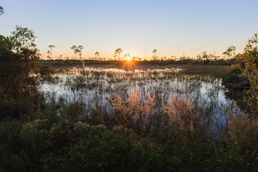
Pilotage Plan: Fort Pierce to West Palm Beach
Overview:
This route offers a delightful journey along Florida’s Intracoastal Waterway (ICW), a well-marked and mostly sheltered waterway perfect for both novice and experienced boaters. The distance between Fort Pierce and West Palm Beach is approximately 40 nautical miles, and while the scenery is stunning, it's essential to be aware of potential hazards and navigational aids to ensure a safe and enjoyable trip.
Route Breakdown:
- Leg 1: Fort Pierce to Vero Beach (Approx. 12 NM)
Departure:Start your journey at the Fort Pierce Inlet, keeping an eye on the red and green day markers as you navigate out of the harbor.
Navigational Aids:Pay attention to the Fort Pierce Inlet Light (LL 387) as you make your way south through the ICW. Maintain a safe distance from the jetties as the currents can be strong.
Shelter & Points of Interest:Vero Beach provides several marinas like the Vero Beach City Marina, which can be a good stop if weather conditions worsen. While in Vero Beach, consider exploring the local shops and the lovely beaches. - Leg 2: Vero Beach to Sebastian Inlet (Approx. 7 NM)
Boots on the Ground:The route from Vero Beach to Sebastian Inlet is straightforward but be cautious of shoaling areas. Keep your charts handy and verify depths.
Important Landmarks:The Sebastian Inlet State Park is a splendid place to stop for a picnic or a little hiking if you choose to anchor off.
Current Considerations:Stay aware of changing tides, as the inlet can see strong currents, especially during outgoing tides. - Leg 3: Sebastian Inlet to Melbourne (Approx. 13 NM)
Navigation:After passing Sebastian Inlet, you will drift through a beautiful stretch of the ICW. Watch for manatees; these gentle giants often frequent the waters.
Shelter:In Melbourne, various marinas can offer refuge, such as the Melbourne Harbor Marina. This is an excellent chance to refuel and restock supplies if needed.
Local Attractions:Melbourne has numerous attractions like local restaurants and cultural sites, providing the perfect opportunity for an exciting shore excursion. - Leg 4: Melbourne to West Palm Beach (Approx. 9 NM)
Final Stretch:As you approach West Palm Beach, continue to navigate cautiously through the busy waterways. Keep a sharp lookout for fishing vessels and other boating traffic.
Navigational Aids:Important markers you’ll encounter include the Lake Worth Inlet Light (LL 529), which signals the approach to the Outer Lake Worth.
Arrival and Safety:As you enter the busy sections near West Palm Beach, proceed with caution. Numerous yachts and commercial vessels will be prevalent.
Safety Considerations:
- Always check the weather forecast before departure; sudden storms can occur in Florida.
- Keep your VHF radio tuned to Channel 16 for safety communications.
- Ensure the navigation lights are functional as day-to-night transitions can be rapid; visibility can diminish quickly.
- Maintain proper lookout for navigation markings and always have updated charts, including local regulations and no-wake zones.
Boating Apps:
Along with traditional navigation aids, apps can make your journey smoother. I recommend using:
Savvy Navvy:It’s a fantastic tool for planning your route, giving you detailed charts and weather updates.
Navionics:This app offers great marine charts and community updates on anchoring spots.
Windy:Ideally for live weather updates which can help you avoid rough patches.
ThisPilotage Plan encapsulates a splendid journey along one of Florida’s most picturesque waterways. As you cruise, take the time to appreciate the stunning waterways, wildlife, and charming coastal communities. It's a perfect trip for skippers seeking a blend of safety, scenic views, and opportunities for exploration. Enjoy the adventure and happy sailing!

