
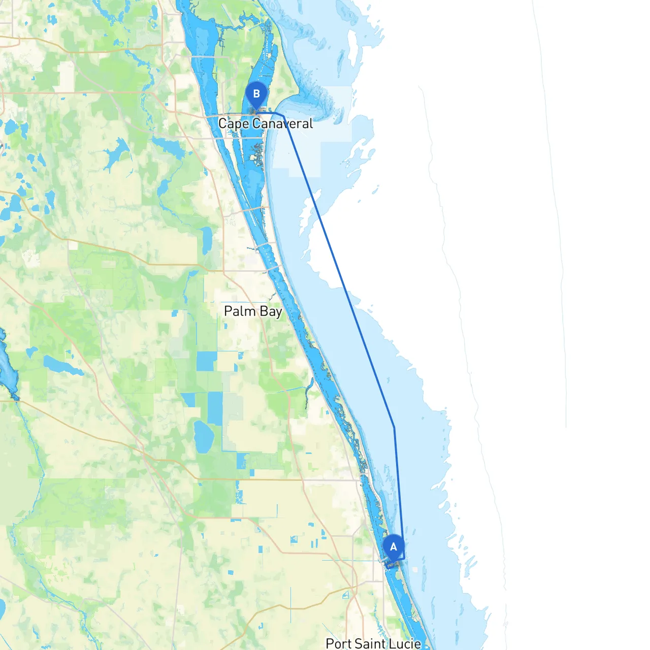
Route OverviewEmbarking on a boating trip from Fort Pierce to Cape Canaveral offers a spectacular experience along Florida’s East Coast. This route is particularly suitable for intermediate to advanced boaters, as it features some challenging areas mixed with beautiful scenery and intriguing attractions—making this journey one to remember.
Departure from Fort PierceAs you leave Fort Pierce (Latitude: 27.4567, Longitude: -80.3022), begin your voyage by navigating through the Indian River Inlet. Pay attention to the local weather and tides, as the inlet can sometimes be unpredictable. Before you push off, it’s wise to check the marine forecasts to avoid any surprises.
Hazards & Navigational Considerations1. Fort Pierce Inlet: The inlet can be subject to strong currents and shifting sand bars, so approach with caution. Watch for the orientation of buoys and local traffic; ensure your VHF radio is tuned to Channel 16 in case of emergencies or local updates.
2. Water Depth: As you move northward, you will find areas with varying depths, especially along the Indian River Lagoon. Carefully monitor your depth sounder and remain aware of any submerged hazards.
Points of Interest along the Route
Navigational Aids & Local RegulationsThroughout the journey, you'll encounter several prominent navigational aids:
Bays and Shelter Opportunities
Final Approach to Cape CanaveralAs you approach Cape Canaveral, you will be met with a breathtaking view of the Kennedy Space Center and the iconic launch pads. The entrance can be a bit congested with tourist and commercial traffic, so it’s important to stay alert.
Safety Considerations
ConclusionThis journey from Fort Pierce to Cape Canaveral covers stunning waterways and offers plenty of opportunities for exploration and enjoyment. The route blends natural beauty with an exciting potential for adventure while prioritizing the safety measures needed for a memorable trip. As you navigate these waters, always keep an eye on the horizon, respect local regulations, and most importantly, enjoy the freedom of the open sea.