
Pilotage Plan: Fort Pierce, Florida to Vero Beach, Florida
Overview
Embarking on a boat trip from Fort Pierce to Vero Beach is a fantastic way to explore the stunning coastline of Florida's Treasure Coast. This 20-mile voyage offers a mix of natural beauty, local charm, and navigational challenges, making it suitable for intermediate to experienced boaters. As we chart our course, safety will be our priority while still allowing for enjoyable moments along the way.
Route Departure: Fort Pierce
Starting Point:Fort Pierce, Florida
Coordinates:-80.302217, 27.456667
Begin your journey at the bustling Fort Pierce Inlet, a known gateway to the Atlantic. Prior to departure, ensure your vessel is in top condition, and check the weather forecast to avoid unexpected surprises. The Fort Pierce Inlet can experience variable conditions depending on tides and wind.
Key Navigational Aids
Route Highlights
North of South Hutchinson Island:As you navigate towards Vero Beach, the trip will take you along the eastern shoreline, where the beautiful South Hutchinson Island will be on your starboard side.
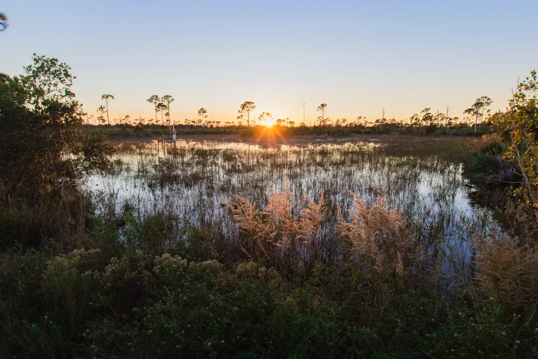
Tropical Estuarine Environment:Enjoy the views of the Indian River Lagoon, home to unique wildlife and rich ecosystems. Look out for dolphins and manatees along the way!
Points of Interest and Activities
Museum Pointe Park:This shallow shoreline is a great stop for a quick beach break or picnic. You can also enjoy the local art and enchanting scenery.
Jensen Beach:If time allows, a detour to Jensen Beach is worth it for its quaint shops and eateries. Find a nice spot to grab some local seafood!
Sheltering Bays
Sewall's Point:Just north of the Jensen Beach area, this location provides a good sheltering bay if weather conditions get rough. It's a safe place to wait out storms or high winds.
Round Island Park:This area offers a calm bay where you can anchor comfortably. It's also an ideal spot for fishing or kayaking while you wait for the weather to improve.
Entering Vero Beach
Arrival Point:Vero Beach, Florida
Coordinates:-80.370005, 27.648147
As you approach Vero Beach, the entrance to the Indian River will be marked clearly. Ensure you're cognizant of the water depth, as it can vary dramatically in shallow channels. Vero Beach is known for its beautiful parks and recreational facilities.
Important Local Regulations
Speed Zones:Be aware of speed limits in different areas, particularly around residential zones and wildlife sanctuaries.
No Wake Zones:Pay attention to areas marked with no wake signs; respecting these zones helps protect the local marine environment and supports the safety of other boaters.
Navigational Safety Measures
Make sure to have updated navigational charts or use boating apps like Savvy Navvy, which provide real-time data on tides, currents, and local hazards. Other useful apps for safety checks and planning might include Navionicsfor charting, Weather Undergroundfor checking conditions, and Windyto monitor wind levels.
Conclusion
This route from Fort Pierce to Vero Beach not only emphasizes the importance of safety but also provides ample opportunities for relaxation and enjoyment. With careful navigation, awareness of the local conditions, and the chance to discover hidden gems along the way, thisPilotage Plan is designed to ensure a fulfilling experience for intermediate and seasoned boaters alike. Prepare your vessel, keep an eye on the weather, and enjoy the serene beauty of Florida's coastline!