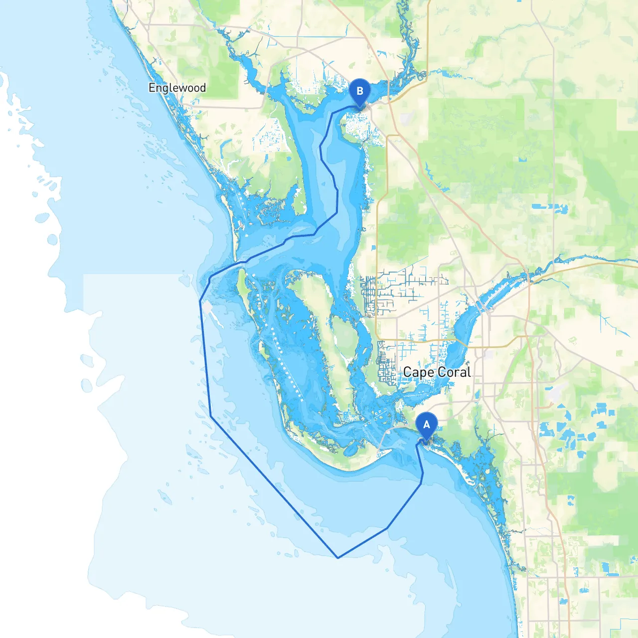
Embarking on a boating adventure from Fort Myers Beach to Punta Gorda is an excellent way to explore the beauty of Southwest Florida's coastline. This route, approximately 20 nautical miles in length, is an ideal choice for experienced boaters looking for rich wildlife views, secluded bays for anchoring, and local attractions. While primarily safe for cruising under good weather conditions, being mindful of navigation aids and potential hazards ensures a smooth and enjoyable voyage.
Before setting out, review the local weather forecast. Sudden storms can develop, and it’s vital to have contingency plans in case conditions worsen. The ideal time to embark would be during daylight hours to maximize visibility. Additionally, familiarize yourself with the necessary navigational charts and consider using boating apps like Navionics, ActiveCaptain, and Savvy Navvy for real-time updates on navigation and local conditions.
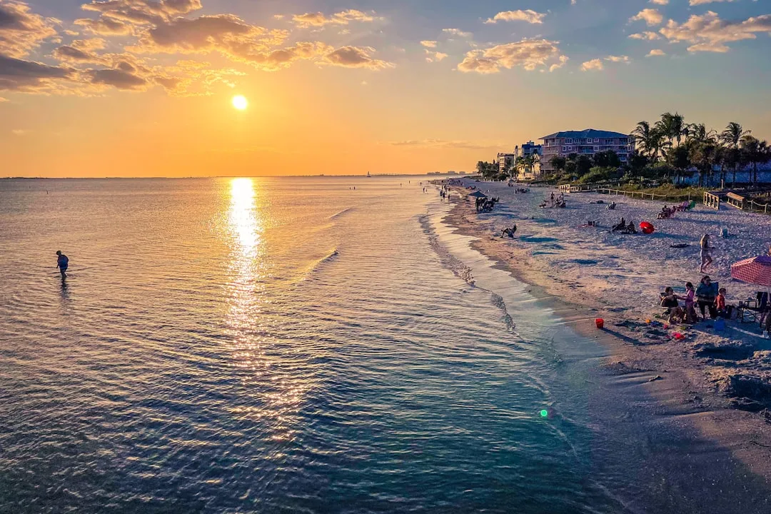
Starting from the coordinates (26.460670452, -81.960357373) at Fort Myers Beach, set your course northwest. As you leave the beach, you’ll pass notable landmarks like the famous Time Square with its lively atmosphere, before heading into the Intracoastal Waterway.
Stay close to the channel markers as you cruise through the estuaries. Watch for the shoals and submerged structures in shallow waters, particularly near Lovers Key State Park located to your west. This serene area is an excellent spot for wildlife viewing—look for dolphins and manatees!
Boca Grande Pass: If weather conditions turn rough, Boca Grande offers a great sheltering bay. Known for its fishing opportunities and vibrant wildlife, it’s also a fantastic place to drop anchor for a quick beach outing or fishing.
As you pass areas like the Charlotte Harbor, you'll be treated to some of the richest ecosystems in Florida. Consider making a brief halt here to soak in nature—plenty of birds and marine life abound!
As you proceed towards Punta Gorda:
1. Marker 7 (the entrance to Charlotte Harbor): Here, channel depth is crucial, and local knowledge of tides and floods can influence your navigation.2. Punta Gorda Lighthouse: A great navigational reference as you approach the city, also a picturesque backdrop for some memorable photos!
Upon approaching Punta Gorda, be mindful of other boat traffic as this area can get busy with both recreational and commercial vessels. Use the fixed channel markers to navigate safely into the city’s harbor.
Pay close attention to local boating laws, which may include speed limits in specific zones, such as near wildlife preserves and no-wake zones. Always check for any seasonal restrictions, especially regarding manatee protection.
This route, flourishing with wildlife and vibrant scenery, is particularly suitable for day cruisers and seasoned boaters who enjoy both the adventure of navigation and the tranquility of nature. The combination of planning, local knowledge, and on-the-water adaptability will make for a memorable trip from Fort Myers Beach to Punta Gorda. Whether you are an angler, nature enthusiast, or just looking to explore, this excursion promises a rich tapestry of experiences that highlight the coastal beauty of Florida. Enjoy your journey!