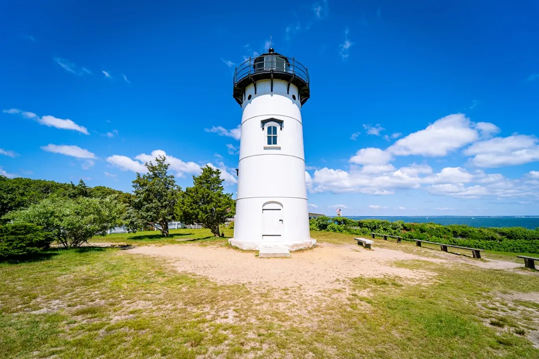
Edgartown, located on Martha's Vineyard, is a vibrant coastal town known for its historic homes and picturesque harbor. Before you set sail, ensure your vessel is well-prepared, with all safety equipment checked and operational, including life jackets, fire extinguishers, flares, and a first-aid kit.
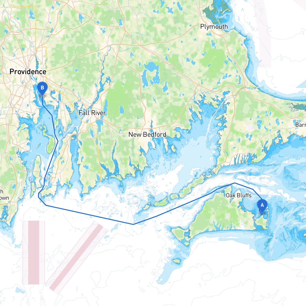
This route takes you through the scenic waters of Vineyard Sound and the Narragansett Bay. Expect a mix of open water and protected channels, ideal for experienced and intermediate boaters alike. It's crucial to pay close attention to weather conditions, as they can change rapidly, especially in the open waters.
As you navigate from Edgartown to East Providence, you'll encounter several notable landmarks and potential anchor spots:
1. Vineyard Haven (Located approximately 15 nautical miles from Edgartown) - This harbor offers a safe stop for fuel, provisions, and shelter from inclement weather. Explore the charming shops and restaurants while you take a break and possibly seek refuge from rough seas.
2. Cuttyhunk Island (Detour approximately 5 nautical miles south) - If you have the time, Cuttyhunk is a worthy detour. It's the least developed of the Elizabeth Islands, providing a stunning natural environment and a great spot for a picnic or a hike. Enjoy the calm waters if staying overnight.
3. Buzzards Bay - Navigating through Buzzards Bay requires attention. Watch for shipping traffic as this area is frequented by larger vessels, including ferries and tankers. Use your navigation aids and be prepared for any changing tides.
4. Mount Hope Bay - As you enter Mount Hope Bay, you will see the iconic Mount Hope Bridge. A great point for some stunning photography! The bay is well-protected, making it an excellent spot to take shelter if the weather worsens.
5. Bristol Harbor - A charming location just off your route, Bristol offers a bustling waterfront with various dining options and attractions. It’s also a useful stop for any supplies you may have run low on.
When traversing these waters, there are several navigational aids and considerations to keep in mind:
This route from Edgartown to East Providence offers a perfect blend of beautiful scenery, exciting points of interest, and safe harbors should the weather turn unpredictable. It's particularly suitable for intermediate and experienced boaters, focusing on safety while also presenting enjoyable opportunities along the journey. Always be vigilant, respect the waters, and embrace the adventure ahead! Happy boating!