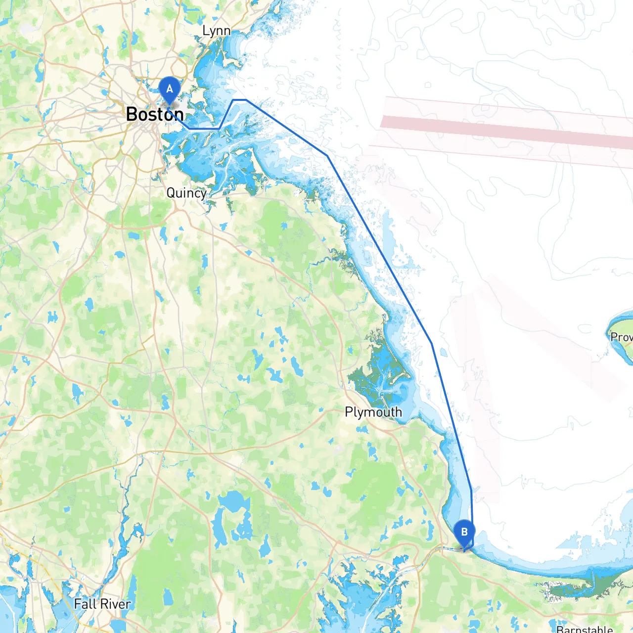
Pilotage Plan from East Boston, MA to Sandwich, MA
Route Overview Beginning your journey from East Boston, you'll experience a delightful blend of navigation through bustling urban waters and serene coastal landscapes, leading to the charming shores of Sandwich, MA. This route, approximately 60 nautical miles, is perfect for experienced boaters looking for a mix of sightseeing, skilled navigation, and opportunities to enjoy some of New England’s natural beauty.
Departure: East Boston, MA
You’ll start your journey at East Boston, which offers easy access to Boston Harbor. Before setting sail, ensure that your vessel is properly equipped and check the latest weather forecasts and tide times for your planned passage.
Important Navigation Aids
As you exit Boston Harbor, pay close attention to the numerous buoys and markers indicating navigation channels. The inner harbor is busy with ferry services and commercial vessels, making it crucial to remain alert. Utilize the navigational aids such as:
- Green and Red Bouys: Maintain your awareness of channel markers to stay within safe sailing areas.
- Boston Light: This prominent lighthouse on Little Brewster Island can serve as a visual marker for boaters as they leave the harbor.
Navigational Considerations: Along the Route
As you make your way south from East Boston, the route will take you past several notable landmarks and opportunities for safe anchorage. Here are the key sections of the route:
1. Boston Harbor to Hull Bay
- Distance: Approximately 10 nautical miles - Key Landmarks: The iconic Boston skyline and the beautiful shoreline of Hull. - Hazards: Strong currents can form at the mouth of the harbor, so stay close within marked channels. - Potential Shelter: Hull Bay offers safe anchorage if conditions worsen.
2. Hull Bay to Scituate Harbor
- Distance: 15 nautical miles - Key Landmarks: The Scituate Lighthouse and the bustling marina. - Notes: Keep an eye out for fishing boats and other small crafts in this area. Enjoy a stop at Scituate Harbor if time permits.
3. Scituate Harbor to Marshfield
- Distance: 6 nautical miles - Navigational Aids: If you’re unsure of the deeper water channels, refer to nautical charts and consult local fishermen for advice. - Shelters: The coastline in Marshfield offers coves ideal for temporary shelter.
4. Marshfield to Sandwich
- Distance: 25 nautical miles - Key Landmarks: The beautiful beaches of Cape Cod and the historic sites in Sandwich as you approach your destination. - Hazards: Pay close attention to Cape Cod Bay’s shifting sands and shoals. Use depth finders and updated navigational software to avoid grounding.
Points of Interest Along the Way
1. Boston Harbor Islands - Take a break at one of the many islands for a hike or picnic.2. Minot Light - The historic lighthouse serves as a great photo opportunity.3. Scituate Lighthouse - A great spot near Scituate Harbor to learn about the local maritime history.
Arrival: Sandwich, MA
Upon your arrival at Sandwich, you’ll find a picturesque setting with its quaint streets and historic charm. Be sure to follow the local marina traffic rules upon entering the harbor and find a suitable dock to secure your boat. The town offers local eateries, historical attractions, and beautiful beaches for a relaxing end to your voyage.
Safety and Local Regulations
- Always keep an eye on the weather conditions; it's advisable to return to harbor if storms threaten.
- Respect all local navigation rules and adhere to speed limits within harbors.
- Use apps like Savvy Navvy to help navigate your route efficiently. Other apps like NOAA Weather and MarineTraffic can provide real-time updates and alerts.
This Boating adventure will not only make for a thrilling journey across the waters but will also deepen your appreciation for the rich maritime heritage of Massachusetts. Happy sailing!