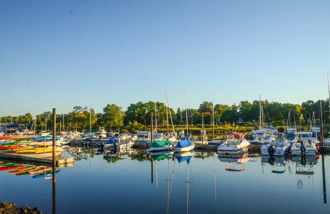
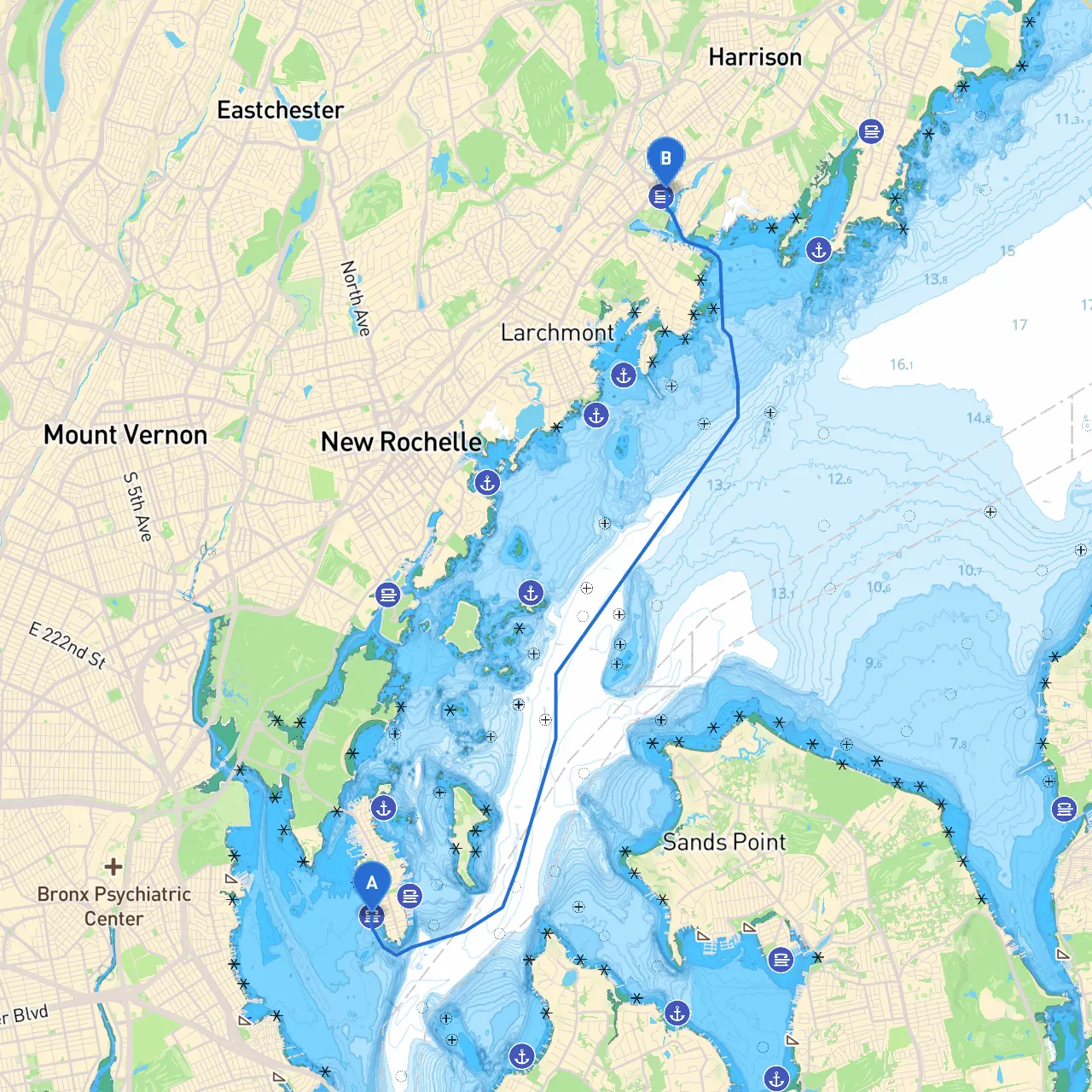
Departure Point: City Island, NY Coordinates: Longitude -73.78833, Latitude 40.84067 City Island is nestled in Long Island Sound and known for its quaint maritime charm. Before setting off, ensure the boat is properly fueled, and everyone on board has their safety gear, including life jackets.
Destination: Mamaroneck, NY Coordinates: Longitude -73.73025, Latitude 40.94883 Mamaroneck, a picturesque coastal town, offers various amenities and is known for its bustling harbor and scenic waterfront parks.
The total journey spans approximately 10 nautical miles and is best suited for recreational boaters with intermediate experience. This route allows exposure to beautiful waterways and ample options for shelter, sightseeing, and dining.
1. Leaving City Island: Begin by navigating through the narrow channels around City Island. Pay attention to the local mooring fields and be cautious to avoid any fisherman and commercial vessels that frequent this area. The channel can be choppy, especially with wind against the tide, so monitor your speed and course carefully.
2. Long Island Sound: After exiting the channels, you will enter Long Island Sound. Maintain a watchful eye on the weather conditions here as they can change quite rapidly. The Sound is generally well-marked, but vigilance is required, particularly near other vessels and during busy traffic times. Utilize navigational aids like the various buoys and lighthouses along the coast. Key markers include the execution of the Milton Harbor marker which will guide you toward your final destination.
3. Sheltering Bays: If the weather starts to turn, you can take refuge in several nearby bays. - Milton Harbor offers excellent shelter and calm waters. It can be a strategic stop to assess weather conditions and enjoy a picnic. - Manursing Island is another option, but be aware it has limited accessibility. Both bays provide a great spot to anchor and wait out unfavorable conditions if needed.
4. Navigational Aids: As you approach Mamaroneck, look for the prominent Mamaroneck Lighthouse, which serves as a key visual landmark. It’s crucial to watch for local regulations regarding fishing and speed zones, especially near residential areas. Marine traffic can also be significant; keeping a good lookout will help avoid any surprises.
5. Arrival at Mamaroneck: Upon entering Mamaroneck Harbor, follow the channel markers carefully. The harbor is well equipped with marinas, dining options, and parks like Harbor Island Park, which provide an excellent opportunity for shore-side activities.
This journey from City Island to Mamaroneck encapsulates the charm of New York's coastline while offering a safe and enjoyable maritime experience. With provisions for shelter, ample sightseeing, and ample amenities, this trip caters well to weekend voyagers and seasoned sailors alike. Embrace the adventure and enjoy the beauty of the waters! Safe travels!