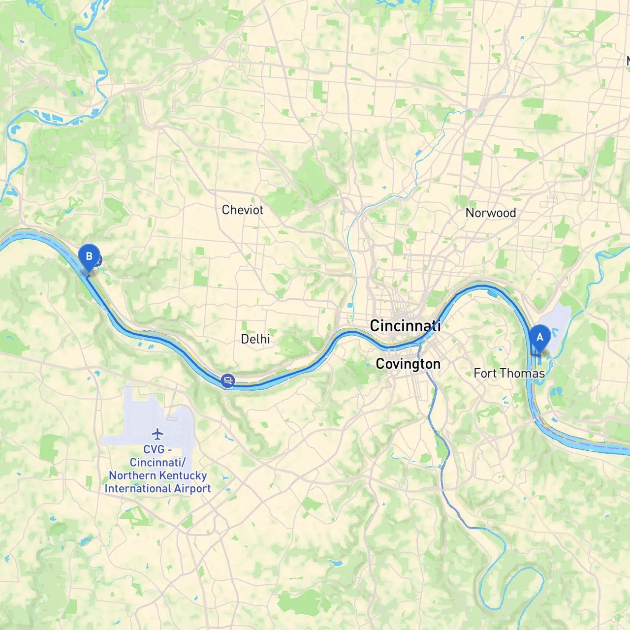
Route Overview:This journey from Cincinnati’s downtown area to the outskirts of the city offers an exciting yet safe boating experience on the Ohio River. Covering around 18 miles in a round-trip route, this cruise is suitable for recreational boaters looking to enjoy a scenic day trip, complete with vibrant city vistas and serene natural landscapes. It’s essential to stay vigilant regarding weather changes and navigational aids.
Segmentation of the Route:
Starting Point: Cincinnati, OH:Before you set off, prepare your vessel by checking all safety gear, including life jackets, flares, and first aid kits. Make sure your boat is equipped with a working VHF radio—it's essential for communication, especially in this busy waterway.
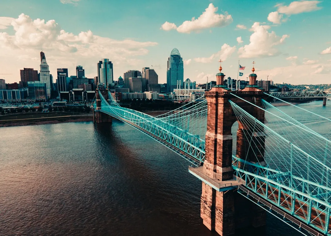
Leg 1: Cincinnati’s Waterfront to Main Street Bridge
Shelter: There’s a public marina near the riverbank that provides a secure place to dock should weather conditions deteriorate.
Leg 2: Main Street Bridge to Covington, KY
Shelter: There are docking facilities along the Covington shoreline where boaters can grab a meal or wait out inclement weather.
Leg 3: Covington to Devou Park
Shelter: The park has a small boat dock, and if conditions worsen, it’s a safe stop to reassess your journey.
Leg 4: Return Trip to Cincinnati, OH
Navigational Aids: Make sure to reference local charts to corroborate buoy placements and regulatory signage along the riverbanks.
Points of Interest:
Safety and Regulations:Always adhere to the local boating regulations, including speed limits, particularly in densely populated areas and near marinas. The Ohio River is also subject to patrols, so be mindful of navigational rules.
Before embarking, check the local forecast for storms or high winds, as the Ohio River can experience rapid weather changes. Familiarize yourself with emergency channels—Channel 16 on VHF is a must for distress communications.
Recommended Apps:1. Savvy Navvy: This app is great for route planning and allows you to overlay charts and points of interest along your journey.2. Navionics: Provides detailed maps of navigable waterways, ensuring you have an up-to-date charting system.3. Windy: Helps keep track of weather patterns and changes, essential for safe boating.
By taking this ample preparation and navigation plan into account, you can embark on a memorable journey that highlights the natural beauty and cultural treasures along the Ohio River while prioritizing safety every step of the way. Enjoy your cruise!