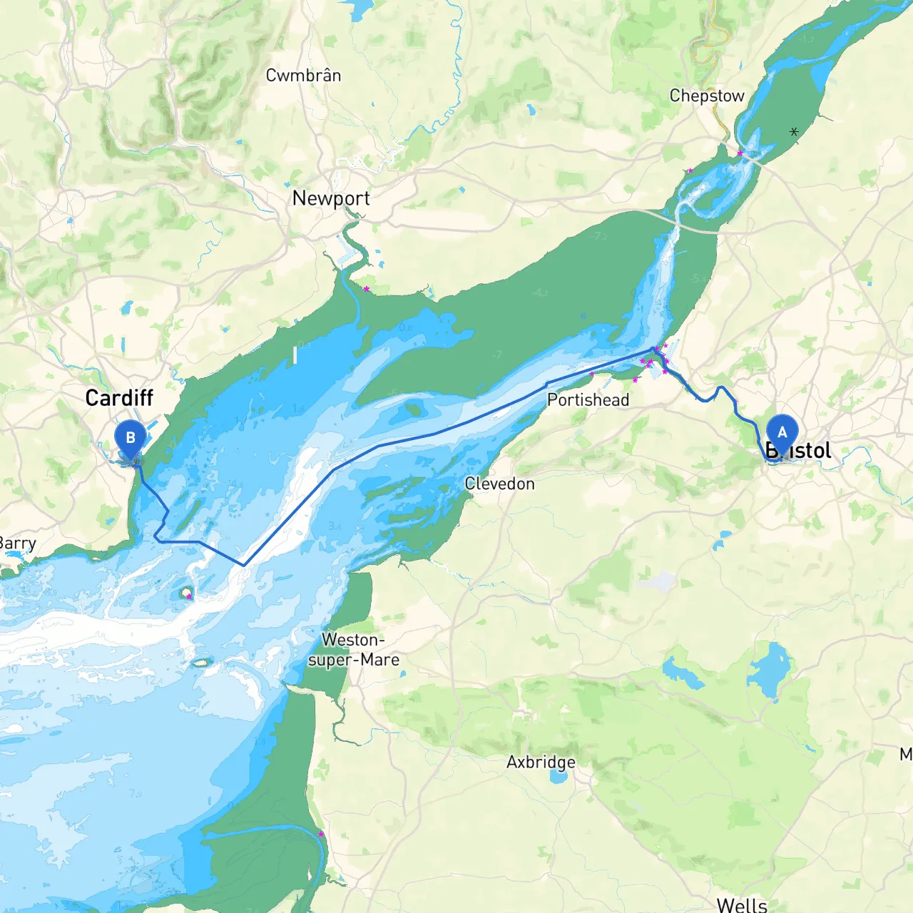
Pilotage Plan: Bristol, GB to Penarth, GB
Route OverviewThis journey from Bristol to Penarth, encompassing roughly 15 nautical miles, promises a blend of stunning views, interesting landmarks, and manageable navigational challenges. This route is well-suited for experienced leisure boaters and day cruisers looking to explore while ensuring safety is a top priority.
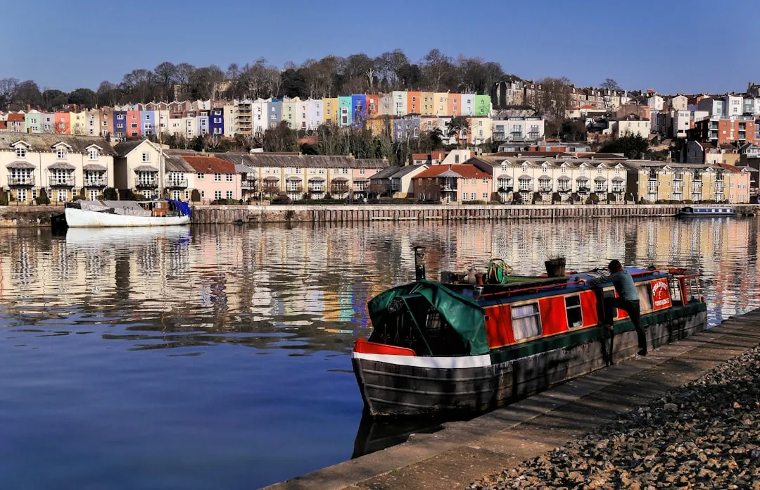
Starting Point: BristolBristol, located on the River Avon, is your departure point. Ensure your vessel is well-equipped for the journey: check fuel levels, safety equipment, navigation tools, and weather conditions before you set off.
Leg 1: Bristol to AvonmouthLeaving the Marina in Bristol, you'll navigate downstream on the River Avon. As you depart, note the Bristol Marina and the iconic Clifton Suspension Bridge. It’s wise to be aware of the tidal conditions; entering into the river at low tide can complicate navigation.
Once you reach the Avonmouth area, you will approach the mouth of the River Avon and the Bristol Channel—a popular shipping lane. Keep an eye out for large vessels transiting, and maintain a safe distance. The area can get busy, so being vigilant and adhering to COLREGs (International Regulations for Preventing Collisions at Sea) is essential.
Points of Interest:
Shelter Option:
Leg 2: Avonmouth to PenarthAs you transition from Avonmouth to Penarth, aim to pass through the bustling waters of the Bristol Channel. The tidal flow is significant; paying attention to current conditions will help you optimize your speed and course. Incoming tides can be swift, so timing your journey is important.
Navigational aids such as buoys will guide you along the way. Pay close attention to the Dinas Rocks, these submerged rocks just south of your path can pose a risk if you're not vigilant. Your charts should detail these hazards, but it's always good to rely on visual confirmation as well.
Recommended navigational aids:
Points of Interest:
Shelter Option:
End Point: PenarthUpon arrival in Penarth, enjoy this charming seaside town, which has a lovely promenade where you can relax or take a stroll. The Penarth Pier is another must-visit landmark and has cafes for a bite to eat after your cruise.
Final Considerations1. Weather Check: Ensure you're tuned into weather forecasts throughout the trip and have a Plan B if conditions take a turn.2. VHF Radio: This will be your lifeline for emergency communication.3. Navigation Apps: Utilize robust tools like Savvy Navvy to help with your route planning, tracking, and updates on weather and tides. Other applications that may prove useful include Navionics and MarineTraffic.
This route is not only scenic but also allows for easy access to safety options and various points of interest that will make your boating experience enriching and enjoyable. Remember, the key to a successful trip is safety first—maintain awareness of your surroundings, and navigate carefully, and you’ll be set for a fantastic day on the water. Enjoy your journey!