
Pilotage Plan: Almere, NL to Urk, NL
Route Overview This route from Almere to Urk is a delightful journey through the scenic waterways of the Netherlands, ideal for experienced boaters looking for a safe and picturesque adventure. Spanning approximately 40 kilometers, this route offers both serenity and the opportunity to experience quaint Dutch towns and the bustling waterways. It's particularly suitable for recreational sailors, small cruising yachts, and motorboats.
Departure from Almere Start your journey at the Almere Haven marina, where you can stock up on any last-minute provisions. As you depart, be aware of the Almere's busy waterfront, maintaining a cautious speed to avoid other vessels and water sports activities. Navigational aids such as buoys will guide you out of urban waterways and towards more open channels.
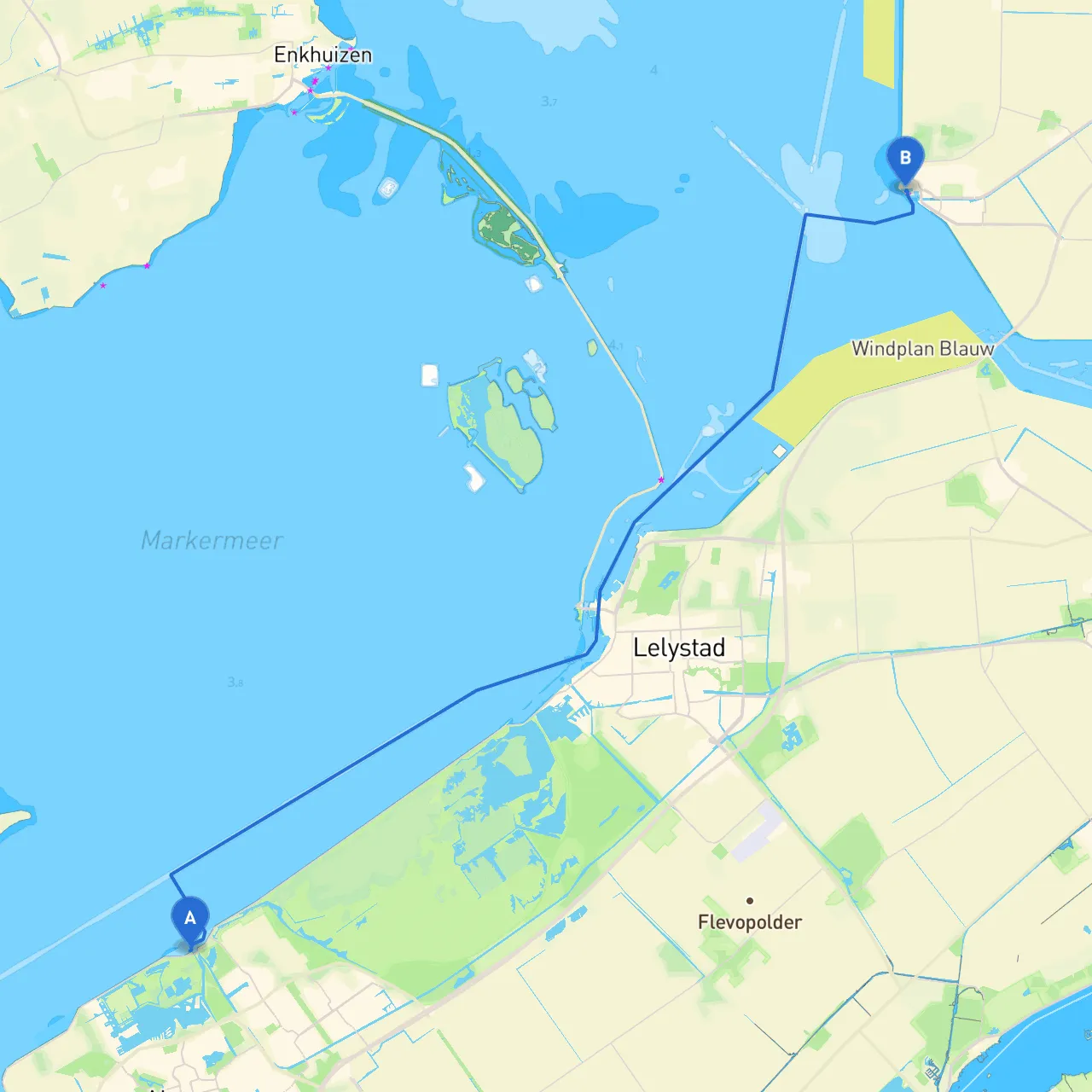
Route to Urk As you head northwest from Almere, you'll navigate through the Markermeer. This vast lake requires careful attention to wind changes. The opening stretch features sharp turns and various traffic patterns; be sure to keep an eye on the marked channels.
Points of Interest and Shelter Options 1. Lelystad: Approximately halfway to Urk, you may consider a stop at Lelystad. The harbor here is well-equipped, offering amenities such as fuel, restaurants, and even a chance to visit the Bataviawerf, where you can learn about traditional shipbuilding. Lelystad offers good shelter in inclement weather.
2. Marina Lelystad: An excellent stop with protective berths and ample services, perfect for a quick break or overnight stay if the weather turns. The marina can buffer you from high winds and rough waves.
3. Zeewolde: A serene town with a lovely marina where you can dock and explore the nearby parklands. It makes for a pleasant detour if you have the time.
Navigational Considerations While navigating, pay close attention to the following:
Arrival in Urk As you near Urk, follow the carefully marked channels leading to its picturesque harbor. Once you arrive, you'll find a community that thrives on fishing and boating, steeped in maritime history. Urk's lighthouse is a prominent landmark where you might want to dock and enjoy a meal at one of the local seafood restaurants or stroll through the charming streets.
Local Restrictions and Regulations Before you embark on your trip, you’ll need to familiarize yourself with local regulations, such as speed limits in residential zones and fishing permits in certain areas of water. Be respectful of nature reserves around the Markermeer, as many zones are designated for wildlife preservation.
Conclusion This route effectively combines safe navigation practices with abundant opportunities for enjoying the stunning Dutch landscape. By prioritizing safety, staying informed about your surroundings and weather, and complying with local regulations, you can make this trip not just enjoyable but also enriching. So grab your charts, set sail, and enjoy all that this beautiful part of the Netherlands has to offer. Happy boating!