
Our members get access to savvy charts™ within the Adriatic region. Adriatic sea map (chart) data is sourced from hydrographic offices which are integrated into our savvy, user-friendly interface.


View Adriatic Sea tide data from over 8,000 tidal stations around the world. Easily view high and low tide with savvy tidal graph and check tidal streams with our visual chart overlay.

In “GPS Mode” boaters can easily check Adriatic sea map information, their phone or tablets GPS location as well as their boat’s Course Over Ground and Speed Over Ground. Simply go into GPS Mode within the savvy navvy app to view the data.


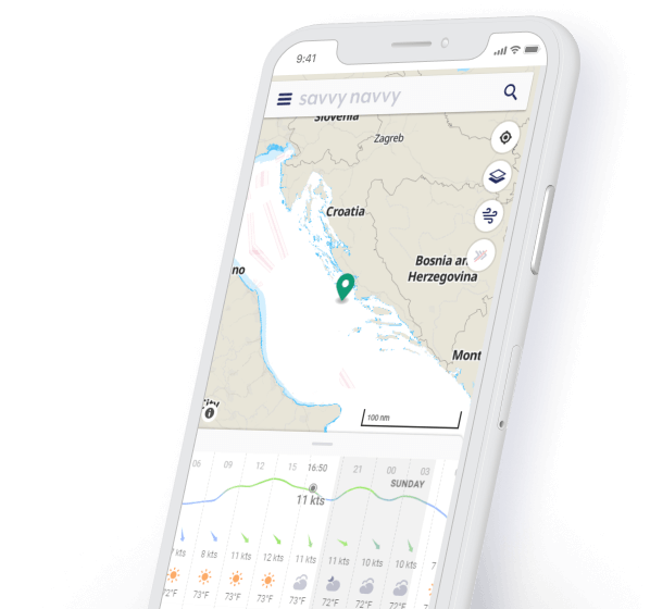
Weather in the Adriatic Sea can be erratic so it’s always a good idea to regularly check the variable forecast. In savvy navvy you can view the visual wind overlay and scroll through various days to see the changing effect of the wind direction and strength.

Using our weather forecast you can drop a pin anywhere on your Adriatic sea map to instantly view the predicted temperature, wind and weather conditions for that location. Toggle through the next few days to see the changing effects of the weather prediction.


Whether you like to sail or motor you can quickly plot routes throughout the Adriatic using savvy routing™. Drop a pin for your start location and a pin for your final destination and the algorithm will calculate the most efficient route. savvy routing™ takes into account Adriatic sea map (charts) details, weather forecasts and your boat details (such as polars) to create a comprehensive passage plan for you and your crew.

Planning your route with savvy navvy will give you an automatically predicted arrival time. Or if you like to do it in your head, just use our distance measurement tool to make a quick calculation.

It’s no fun worrying about your fuel usage. That’s why we integrated predicted fuel usage into the savvy navvy app, this way our motorboat users can easily view the fuel requirement for their trip in the Adriatic to ensure they leave port with plenty to spare!
See at a glance the best time to depart based on your route, wind & tidal conditions, see the demo.
Plot a route with savvy navvy and get an automatic course to steer on your tablet or phone. Taking into account wind, tide and weather to get your exactly where you need to be.
There are countless stunning marinas and anchorages throughout the Adriatic. That’s why we partnered with Navily so our members can instantly view essential information such as fuel docks, moorings, shorelines, wind protection, shops, Adriatic sea map details, restaurants and more at the tap of the screen.
For those who want to take a closer look at those stunning Adriatic secluded bays, sandy white beaches and lively Havar marinas, satellite mode enables you to take a birds-eye view before choosing your next destination. You can also protect your night vision by toggling over to savvy night mode for a darker evening interface.
We get it, some of the best locations are where the WiFi is weak. So why not download your Adriatic sea map (chart) and weather information for use offline. That way you can use all the savvy navigation features you love, without worrying about connectivity issues.
Download passage plans based on Adriatic sea maps and weather information for us with your boat chart plotter, tap “Export route” in the app to download a GPX file which can then be uploaded to your chart plotter.
We have a team dedicated to supporting our members across the globe. Feel free to contact us with your updates or questions via the chatbot in the app or email us at ahoy@savvy-navvy.com.
We provide access to all savvy charts™ across the glove for every single one of our members. We don’t believe in restricting you by location, so wherever we have coverage, so do you.
The savvy navvy boating app is available on Android or iOS with a 14-day free trial.
Download savvy navvy on your iPhone or iPad today and start planning your next sail.

Download savvy navvy to your Android phone or tablet and supercharge your navigation.

savvy navvy also has charts of other seas and coastlines including the Solent, English Channel, North Sea Charts and Mediterranean sea maps


