Route Overview
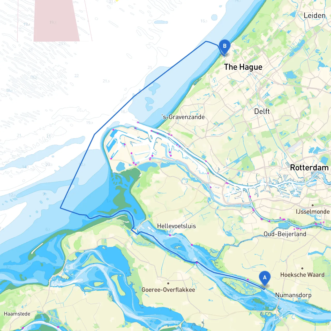
Setting sail from Zuid Beijerland, located beautifully on the banks of the Haringvliet, to the vibrant city of Den Haag is an exciting journey that offers both scenic views and a chance to explore various landmarks. This route is particularly suitable for recreational boaters and families, thanks to its relatively calm waters and various safe havens along the way. The journey covers approximately 30 nautical miles, making it manageable for both novice and experienced sailors.
Starting Point: Zuid Beijerland, NL (4.3659° E, 51.7380° N)
Zuid Beijerland is a small village that serves as a perfect starting point thanks to its sheltered harbor. Before departure, it’s a good idea to check the weather forecast, as conditions can change rapidly in this region. Always ensure your vessel is equipped with essential safety gear, including life jackets, a first-aid kit, and a reliable means of communication.
Key Hazards:
Leg 1: Zuid Beijerland to the Haringvliet Bridge (05 Nautical Miles)
Leaving Zuid Beijerland, you’ll navigate through the Haringvliet. Maintain a straight course while adhering to speed limits—watching for any buoys marking safe passages. The Haringvliet Bridge, a notable landmark, serves as a good reference point. It is advisable to keep a close eye on navigational aids provided in this area.
Shelter: If the weather becomes inclement, you can retreat to the sheltered waters around the bridge area.
Leg 2: Haringvliet Bridge to Spui River (05 Nautical Miles)
As you pass beneath the bridge, head towards the Spui River. This route is well-marked, and you will find several buoys guiding you through. The Spui River is navigable and relatively calm, with a depth suitable for leisure crafts.
Leg 3: Spui River to the Nieuwe Maas (10 Nautical Miles)
Upon reaching the mouth of the Spui River, you will enter into the Nieuwe Maas. This section of the journey takes you through more heavily trafficked waters. Here, it's crucial to keep a vigilant watch for commercial vessels, particularly shipping traffic.
Shelter Options: If rough conditions arise, the sheltered harbors around Woudhoek or the Port of Rotterdam are reliable options.
Leg 4: Nieuwe Maas to Den Haag via the Scheveningen (10 Nautical Miles)
Continuing past Rotterdam, steer towards Den Haag, navigating the significant shipping lanes towards Scheveningen.
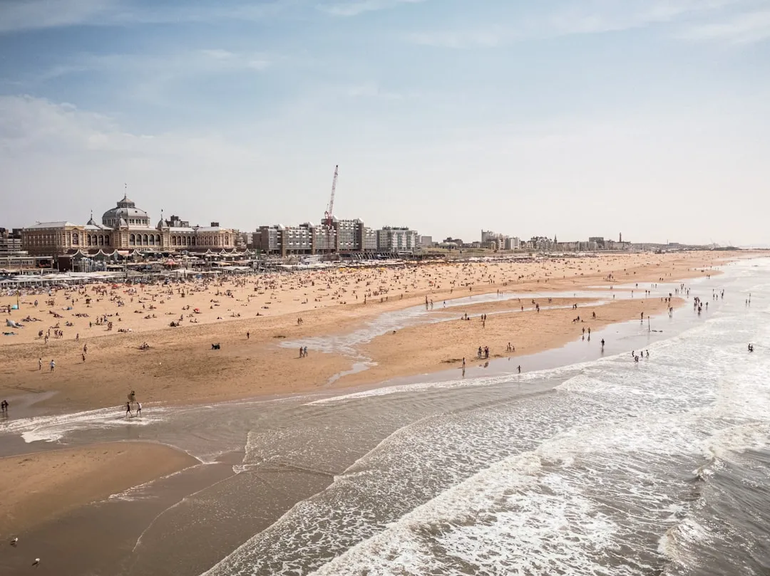
Final Destination: Den Haag, NL (4.2653° E, 52.0966° N)
Congratulations on reaching Den Haag! You're positioned near one of the cultural hubs of the Netherlands, where museums, parks, and a rich history await exploration.
Ensure you have the following before your trip:
This route promises a fulfilling experience—rich with sights—while prioritizing safety for all on board. Happy sailing!