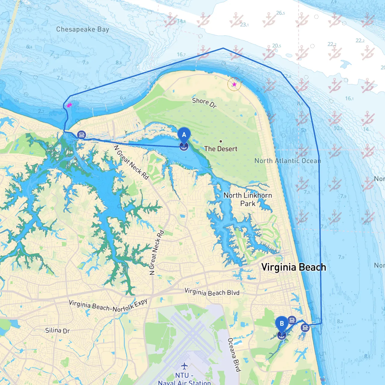
Route Overview Starting Point: Virginia Beach, Virginia, USA Coordinates: -76.0325, 36.9014 Ending Point: Virginia Beach, Virginia, USA Coordinates: -75.9834, 36.8256
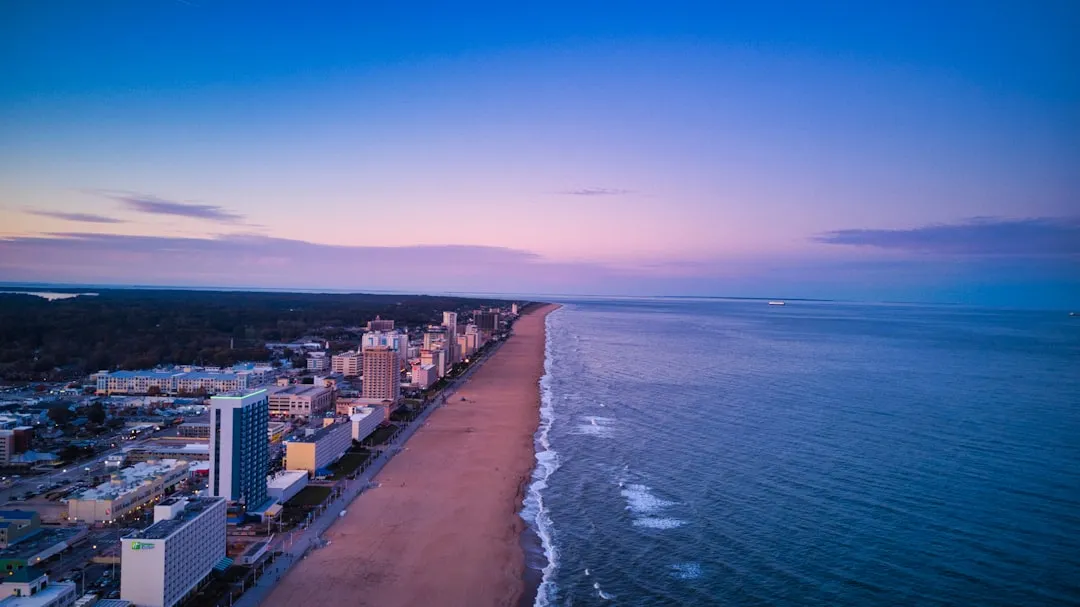
This journey along the beautiful coast of Virginia offers a scenic exploration of the waters while ensuring safe navigation through some notable landmarks. It's well-suited for experienced boaters looking for a leisurely trip punctuated by opportunities for fun and adventure yet prioritizing safety throughout the route.
Departure from Virginia Beach Begin your journey well inside the protected waters of the Lynnhaven Inlet. As you set off, keep a keen eye on local navigation buoys like Red and Green Markers which will guide you safely out into the open waters of the Atlantic. The inlet is particularly busy with fishing vessels, so remain vigilant.
Navigational Considerations As you venture out, you will rely on a combination of natural and artificial navigation aids. The navigation charts clearly indicate prominent features and buoys in the area. Monitor VHF Channel 16 for communications and check local weather reports before departure to ensure you’re prepared for changing conditions.
As you loop back toward Virginia Beach, explore Back Bay for shelter. This natural reserve features tranquil conditions and is perfect for birdwatching or light fishing if you fancy a quick pastime.
While navigating these waters, utilize your chart plotter or Google Maps Marine to maintain your route accurately. Historical navigation aids such as buoys, lighthouses, and channel markers are plentiful, but staying updated via savvy navvy can override any ambiguity in current conditions and route.
Boaters should note the various speed restrictions in place, particularly in environmentally sensitive areas, and adhere to idle-speed zones. In addition, keep an eye out for fishing areas, where additional regulations may apply (such as hook regulations or catch limits).
This pilotage plan highlights a journey that caters to both the adventurous and safety-conscious boater. The sites of interest not only serve as picturesque stopovers but also include potential safe havens during inclement weather. With essential navigation tools and a focus on safe practices, this route from Virginia Beach and back is bound to be a rewarding expedition. Embrace the excitement of your voyage while keeping safe at every turn!