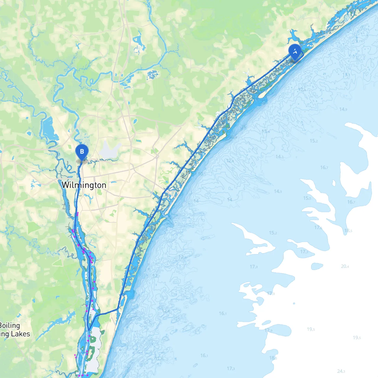
Trip Overview:This route from Topsail Beach to Wilmington is not only a scenic journey but also an opportunity for boaters to explore the beauty of North Carolina's coastline. Given the varying weather conditions and potential hazards along the way, this trip is especially suitable for intermediate boaters with some experience in coastal navigation.
Departure Hazards:Before setting off, pay close attention to the tidal currents, especially near the inlets, as they can be quite strong. It’s recommended to check the tide tables and plan your departure around a rising tide to ensure easier navigation out of Topsail Inlet.
Points of Interest:
Navigational Aids:The route to Wilmington is approximately 20 nautical miles and can take around 3-4 hours, depending on your boat speed and weather conditions. Key navigational aids to look for along this route include:
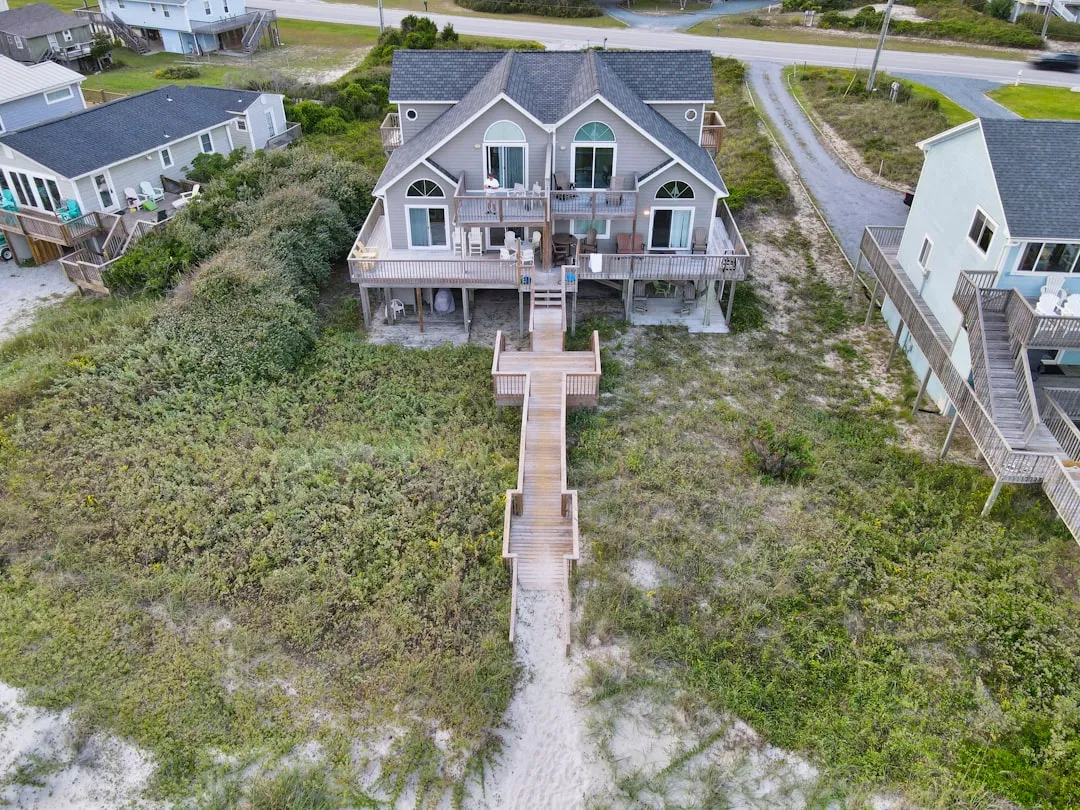
Shelter Stops:1. Figure Eight Island: As you navigate south towards the ICW, if the weather takes a turn for the worse, the southern end of Figure Eight Island can provide some shelter. While it’s primarily residential, the waters here are typically calmer.
2. Mason Inlet: Further south along the coastline, Mason Inlet is another potential refuge with more extensive shelter among the marshes and islands.
Navigational Considerations:
Final Notes:While this route showcases the beauty of North Carolina's coastline and coastal towns, ensuring safety throughout your trip should always come first. Keep an eye on the weather forecasts and local advisories. Additionally, utilize reliable boating apps like savvy navvy, Navionics, and Weather Underground for nautical charts, navigational aids, and real-time weather updates while out on the water.
This journey from Topsail Beach to Wilmington is filled with stunning landscapes and potential exploration, making it a memorable experience on the water. Happy boating!