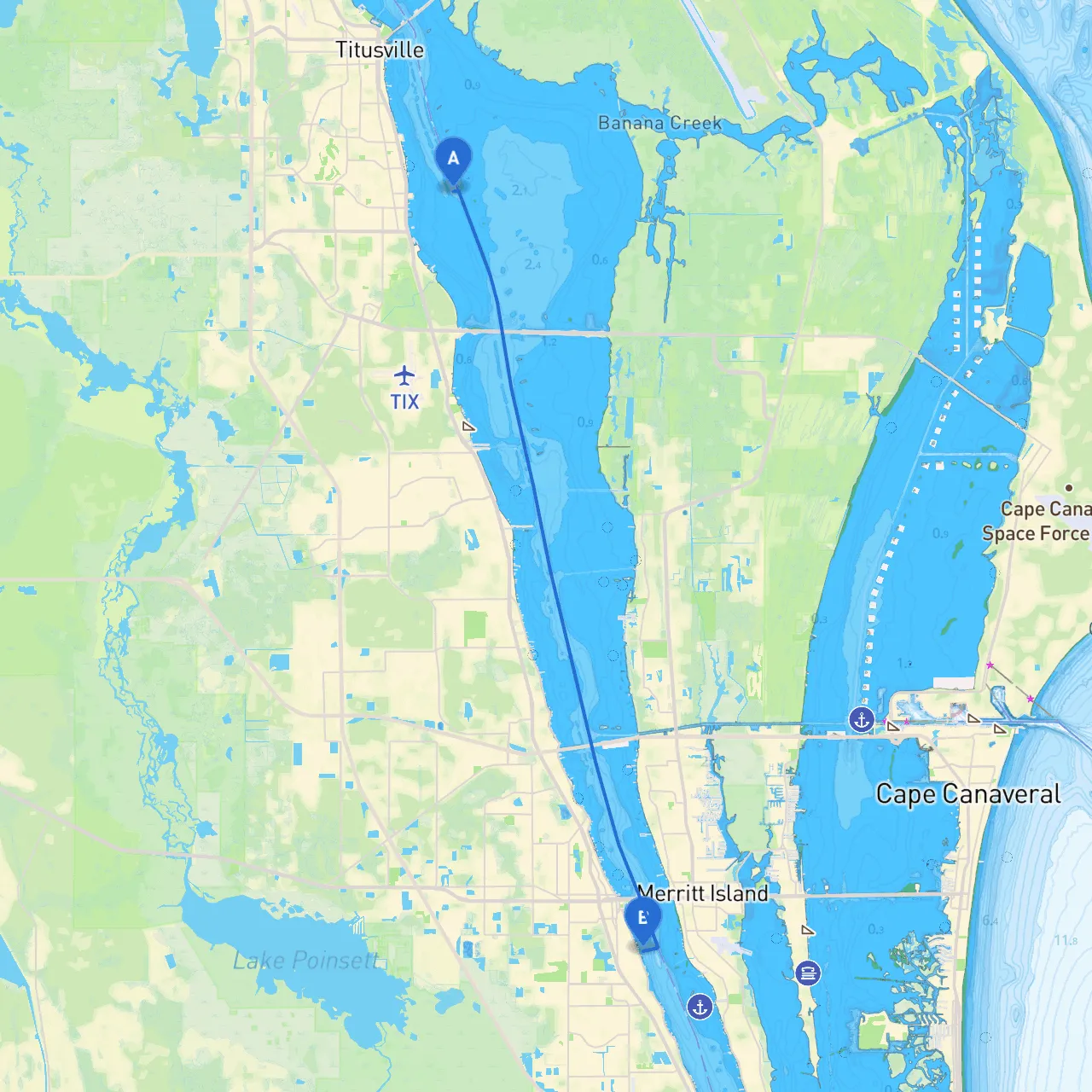
Pilotage Plan from Titusville, Florida to Rockledge, Florida
Embarking on a journey from Titusville to Rockledge offers a splendid opportunity to navigate through the beautiful waterways of Florida, making it a perfect trip for recreational boaters who enjoy scenic views, wildlife watching, and the thrill of cruising. The distance is relatively short, about 12 nautical miles, making it an enjoyable day trip. As always, safety is paramount, so let's delve into our route with careful consideration for navigation, good shelter bays, and points of interest.
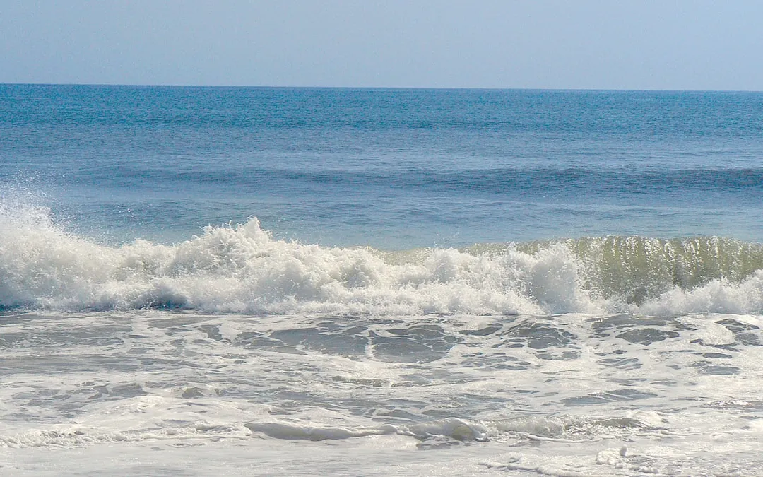
This trip will take you down the Indian River, which offers a combination of mild currents, vibrant local wildlife, and open vistas. The Indian River is well marked with navigation aids, and its waters generally provide good conditions for cruising.
Start your journey at the Titusville Marina, where you can check your vessel for readiness, ensuring that life jackets, safety kits, and communication devices are in order. As you leave the marina, proceed towards the Indian River, keeping a keen lookout for navigation buoys marking the channel. The coordinates you will be navigating from are at long/lat: -80.782207935365, 28.569561607842857.
While the Indian River is relatively sheltered, be aware of the potential for shallow areas as you approach certain mangroves. Debris can be an issue, especially after inclement weather, so maintaining a proper lookout is crucial. You’ll also want to be conscious of local boat traffic, especially around fishing spots where boats tend to cluster.
1. Canaveral National Seashore: As you cruise southward, on your starboard side, you'll catch glimpses of the stunning Canaveral National Seashore. This pristine area is ideal for wildlife spotting, particularly birds and dolphins. Consider a stop here for a picnic on the shore or a quick jaunt ashore if you have time.
2. The Merritt Island Wildlife Refuge: A short diversion can lead you into the refuge, a haven for a diverse array of animal species. Here, you can navigate along the canals for a fragrant exploration of wild Florida, where fishing and trails are accessible for those interested in a land-based excursion.
If the weather turns inclement, consider the following sheltered options:
Maintain awareness of the following:
As you approach Rockledge, you'll find it is located about 1 mile from the Indian River. There are several docks where you can secure your vessel safely. Keep an eye open for local boats, and be sure to signal your intentions clearly, particularly near docks.
Rockledge provides a quaint local vibe, with options for dining and exploration should you wish to tie up for an extended stay. It’s an ideal choice for boaters seeking to explore local culture after a fulfilling day on the water.
For navigation assistance and trip planning, consider using the following apps to enhance your experience:
In conclusion, this route from Titusville to Rockledge is perfect for boaters looking to explore the natural beauty of the Indian River while keeping safety at the forefront. With plenty of points of interest and safe bays to shelter in case of changing weather conditions, it offers an enriching and enjoyable cruising experience. Safe travels!