
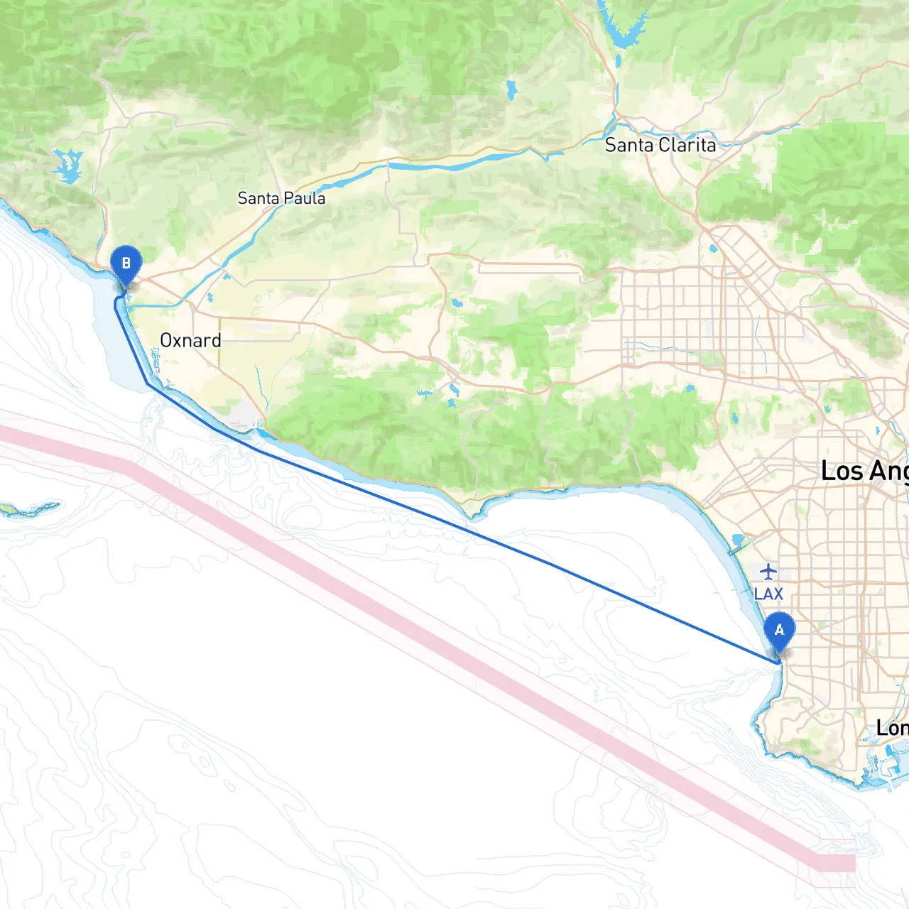
Route Overview:This coastal journey from Redondo Beach to Ventura spans approximately 30 nautical miles. It promises stunning views of the Pacific Ocean, potential wildlife sightings, and access to several sheltered bays—ideal for both novice and experienced boaters. However, safety will be paramount, so let's break down the plan into manageable sections.
Coordinates: -118.3954, 33.8465
Before slipping the lines at Redondo Beach, check conditions for the day. Reliable apps like Savvy Navvy will help in assessing weather conditions and tidal flows. Set your boat's navigation system to waypoints along the route, keeping your charts handy.
Points of Interest:
As you leave the harbor, head northwest along the coast. Make sure to maintain a consistent lookout for navigational aids.
Navigational Aids to Monitor:
Should weather conditions worsen, here are two excellent bays that provide shelter:
1. Santa Monica Bay: This broad bay allows you to anchor in calmer waters; it's ideal for a rest stop or to wait out unexpected weather changes.
2. Point Dume State Beach: Offers a protected cove where you can drop anchor, surrounded by dramatic cliffs and serene scenery.
As you near Ventura, pay attention to the following:
Navigational Marks:
Regulatory Considerations:
Points of Interest Upon Arrival:
This trip from Redondo Beach to Ventura is well-suited for both novices and seasoned boaters due to its manageable distance, point of interest stops, and shelter havens. By adhering to safety protocols, monitoring weather conditions, and establishing a clear navigation plan, you’ll ensure a memorable and enjoyable outing on the water. Use a combination of savvy apps, including Savvy Navvy, to keep your journey safe and well-charted. Bon voyage!