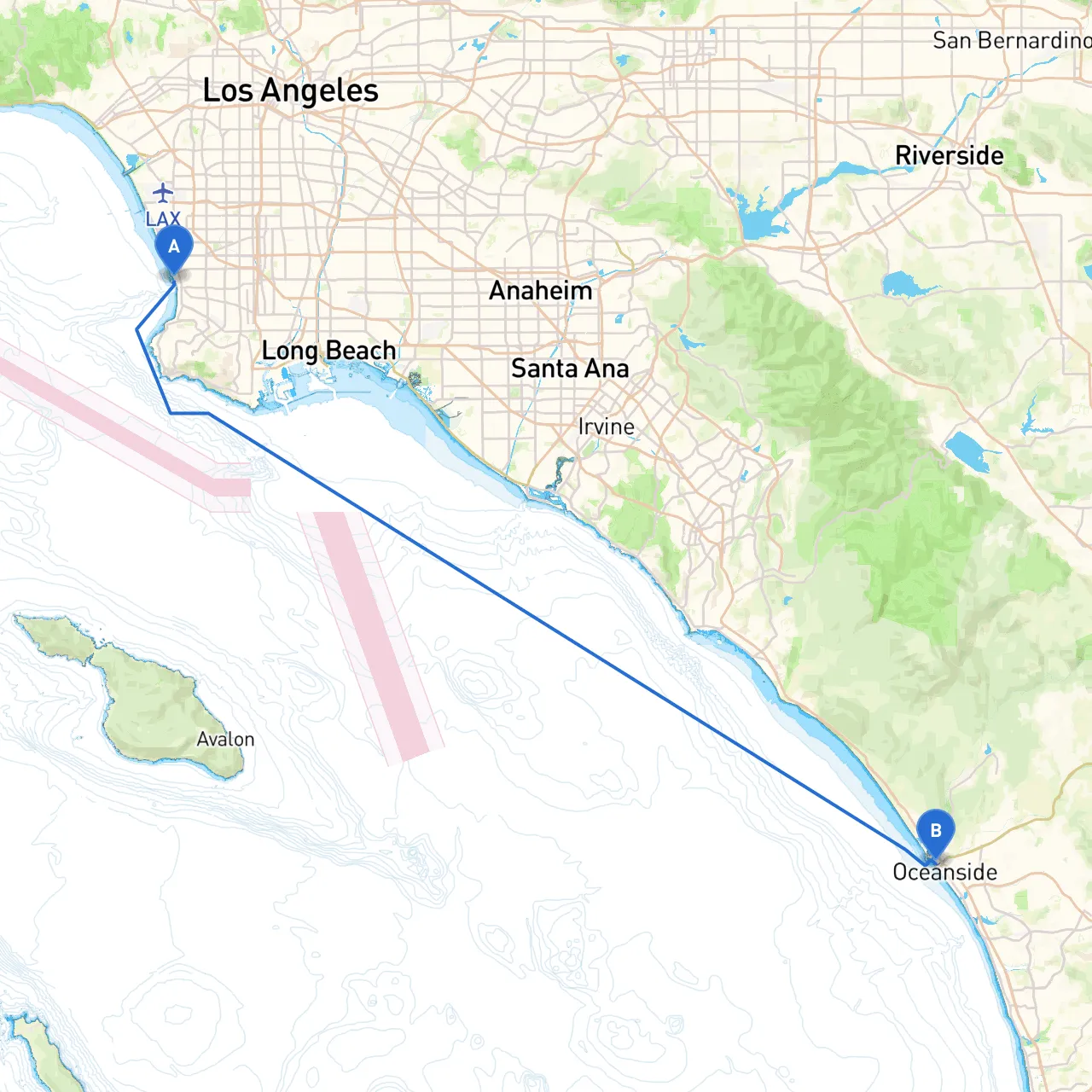
Pilotage Plan: Redondo Beach, CA to Oceanside, CA
Route Overview Starting from Redondo Beach and heading down to Oceanside offers a beautiful coastal journey that highlights Southern California's stunning coastline and charming harbors. The route covers approximately 40 nautical miles, making it ideal for day boaters and leisure cruising enthusiasts. The coastal waters generally provide a scenic pathway with plenty of landmarks and attractions to enjoy along the way.
Segment 1: Redondo Beach to Manhattan Beach
Distance: Approximately 3 nautical miles Hazards: Stay vigilant for local fishing vessels and private boaters. Watch for swimmers near shorelines, especially around the beaches. Points of Interest:
- Manhattan Beach Pier: A picturesque pier ideal for a short stop. You can enjoy the beach, grab a bite at local seafood restaurants, or partake in beach volleyball.
Segment 2: Manhattan Beach to Hermosa Beach
Approximately 2 nautical miles
Keep a lookout for breaking waves as you approach Hermosa Beach, particularly during higher swells.
- Hermosa Beach: A bustling beach community with shops and cafes. Pirate-related attractions or water sports can often be found here.
Segment 3: Hermosa Beach to Redondo Breakwater
Approximately 1 nautical mile
Watch out for the breakwater and ensure you stay within the navigable channel.
- Redondo Beach King Harbor: A great marina to take shelter in case of rough weather. It offers various facilities and options for dining.
Segment 4: Redondo Breakwater to Palos Verdes Peninsula
Approximately 5 nautical miles
Be aware of water depths; parts around the peninsula can be shallow. Look for rocky outcroppings and steer clear of them.
- Palos Verdes Estates: Stunning cliffs overlooking the ocean, perfect for snapping some scenic photos.
Segment 5: Palos Verdes to Catalina Island (Optional Diversion)
Approximately 12 nautical miles to the nearest point of Catalina Island
Monitor weather patterns closely if you choose to head towards Catalina. The channel can experience currents.
- Two Harbors: A good stopping point with lovely hiking trails and a restaurant, though this would extend your trip substantially.
Segment 6: Palos Verdes to Long Beach Harbor
Approximately 10 nautical miles
Pay attention to the busy shipping traffic as you approach Long Beach. Employ proper navigation aids and protocols.
- Long Beach Shoreline: A vibrant area full of entertainment options, including the Queen Mary and various restaurants.
Segment 7: Long Beach to San Pedro
Approximately 5 nautical miles
Significant shipping traffic as you approach San Pedro; ensure vigilance and proper radio communication.
- Ports O’ Call Village: A charming seaside attraction that offers a wealth of shopping and dining options.
Segment 8: San Pedro to Oceanside
Approximately 12 nautical miles
Navigate with caution past Point Fermin, keeping an eye out for changing conditions.
- Oceanside Harbor: A fantastic location to dock your boat. Attractions here include local seafood restaurants and access to the Oceanside Pier.
Navigational Aids and Considerations
Maintain a working VHF radio to stay in constant communication with nearby vessels and harbormasters. Look for tall objects on the coastline, such as lighthouses and piers, to aid in your navigation. Important aids on your route will include buoys marking channels and danger areas.
Local Regulations: Be aware of idle speed zones, especially in marinas and near sensitive coastal habitats. Check local regulations upon approaching any state parks or protected waters, as restrictions may apply.
Recommended Boating Apps
While on your journey, consider using handy boating apps such as Navionics for nautical charts and weather updates, and Savvy Navvy for route planning and real-time weather conditions. These tools can enhance your safety and enjoyment while navigating.
This pilotage plan not only accounts for safety but also highlights the various attractions and vital shelters along your route from Redondo Beach to Oceanside. It is particularly suitable for recreational boaters and families seeking a memorable day adventure along the gorgeous Southern California coastline. Enjoy your trip, stay safe, and relish the natural beauty and excitement that await you!