Pilotage Plan: Providence, RI to Onset, MA
Embarking on a journey from Providence, Rhode Island, to Onset, Massachusetts, is a delightful opportunity for boaters looking to explore the scenic coastline of New England. This route is particularly suitable for experienced recreational boaters or those with a solid understanding of coastal navigation. The waters are dotted with islands, charming towns, and potential anchorages, making it not only a safe trip but also a fulfilling one.
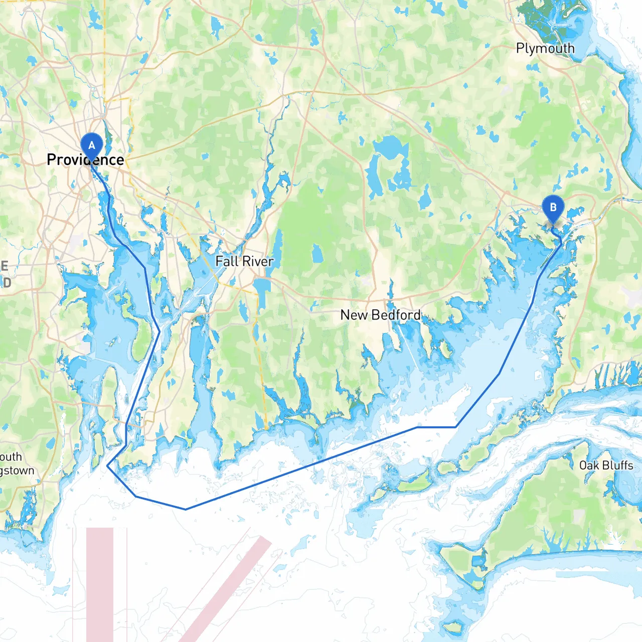
Starting Point: Providence, RI
- Coordinates: Longitude -71.4023, Latitude 41.8175
Providence is a vibrant city with a rich maritime heritage. Before setting sail, consider checking out the historic downtown area or indulging in the local cuisine, which is just a few steps away from the waterfront.
Key Hazards and Navigation Considerations
As you begin your journey, it's important to be aware of specific hazards and navigation aids available along the way. The route predominantly traverses the Narragansett Bay, which has a number of challenges, including:- Commercial Traffic: Pay attention to larger vessels in the bay and the shipping lanes – you should maintain a safe distance from them.
- Shallow Areas: Certain regions have shallow waters, especially near the edges of the bay and inlets. It's crucial to monitor the depth using your sounder.
- Tidal Currents: The Narragansett Bay experiences significant tidal changes, altering current speeds. Knowing your timing can prevent you from battling strong currents.
Notable Navigation Aids
- Ned's Point Lighthouse: This lighthouse is a prominent navigational aid that will guide your way through Buzzards Bay. Make sure you keep it in sight as you approach the narrow passages.
- Bristol Harbor: A recommended stop for those wishing to anchor for a meal or explore a quaint town. The harbor is well-marked for safe entry and offers good shelter from inclement weather.
Route Overview
Leaving Providence, you will head southeast towards Bristol and the mouth of the Bay. The general course is approximately 40 nautical miles. Here’s how to break down your route:
1. Providence to Bristol (approx. 8 NM): Start by heading south through Providence Harbor, following the marked channel toward Bristol. This leg takes you through a busy harbor, so maintain a sharp lookout for commercial and recreational boats.
2. Bristol to Mount Hope Bay (approx. 5 NM): Upon exiting Bristol, navigate into Mount Hope Bay. Be cautious as the currents can be stronger here, especially closer to the Bridges. Look out for the Mount Hope Bridge.
3. Mount Hope Bay to Sakonnet Point (approx. 10 NM): Continue south into Sakonnet Point, taking care to avoid the areas marked with danger symbols on your charts as they can be a bit shallow.
4. Sakonnet Point to Cuttyhunk Island (approx. 6 NM): This is a great spot to pause for a break. Cuttyhunk offers a peaceful harbor with shelter, pristine beaches, and stunning views.
5. Cuttyhunk to Onset (approx. 12 NM): Your final leg takes you around the south end of Cuttyhunk and heads toward Onset. Keep an eye out for the shallow areas and ensure you’re following the buoys marking the channel into Onset Harbor.
Sheltering Bays and Points of Interest
- Bristol Harbor: With its charming waterfront and eateries, it’s an ideal spot to anchor and explore.
- Cuttyhunk Island: Well-known for its nautical charm, you can take a leisurely stroll or spend some time enjoying the stunning views.
- Onset Harbor: Upon arrival, check out this quaint village that is rich in seaside history. The harbor offers safe anchorage and a welcoming community atmosphere.
Local Restrictions and Regulations
As you make your way, be compliant with:- Fishing Regulations: Ensure you have the appropriate licenses for any fishing activities.
- No Wake Zones: Adhere to speed limits in designated areas, especially in harbors and near mooring fields.
Recommended Navigational Apps
For an enhanced experience and to maintain safety at sea, consider using the following navigational apps:- Savvy Navvy: Excellent for charting and providing real-time weather information.
- Other recommended marine apps such as Navionics and Windy can greatly assist in planning your trip.
This itinerary from Providence to Onset is balanced with leisure, exploration, and the prudent awareness of navigational safety, making it a perfect getaway for those keen to enjoy the beautiful New England coastline while ensuring a well-managed journey. Happy boating!