
Pilotage Plan: Panama City, Florida, to Panama City Beach, Florida
Route Overview:This pilotage plan outlines a cruising journey from Panama City, Florida, to Panama City Beach, Florida. The route is approximately 12 nautical miles and offers a picturesque marine environment filled with natural beauty, wildlife, and opportunities for shelter if the weather turns unfavorable. Boaters can expect a leisurely trip suitable for those with moderate to advanced navigation skills. The waters are relatively calm, but being informed about hazards and local regulations is crucial for safety.
Starting Point: Panama City, FloridaYou will start your journey at the Panama City Marina, which serves as an excellent departure point due to its facilities and nearby amenities. The marina is located at coordinates -85.64925, 30.141, and offers fuel, provisions, and a safe harbor to begin your voyage. Before departure, check local weather conditions as they can change rapidly in this region.
Route Highlights and Notable Landmarks:
1. St. Andrews Bay: Upon exiting the marina, you will navigate through St. Andrews Bay. This expansive bay is both scenic and a haven for various wildlife, including dolphins and seabirds. As you navigate, keep an eye on markers and navigational aids, including buoys that indicate safe passages.
2. Shell Island: Shell Island, located to the south of your route, is an uninhabited barrier island known for its pristine beaches and crystal-clear waters. It's an excellent spot for a short detour if you wish to explore or enjoy a picnic. Be mindful of the shifting sandbars around the island and stay clear of designated conservation areas to protect local wildlife.
3. Nicholson Point: As you approach Nicholson Point, pay attention to the soundings and navigational aids. The waters here can be shallow, so maintain awareness of your vessel's draft. This point offers a potential anchorage if the weather becomes rough, providing a sheltered haven.
4. North Bay and Tyndall Air Force Base: Continuing north, you will pass near Tyndall Air Force Base. While it’s fascinating to observe, it’s crucial to be aware of any military exercises or air traffic restrictions in this area. Familiarize yourself with VHF channel 16 for emergency communications and local updates.
Shelter Options:
Navigational Aids and Regulations:
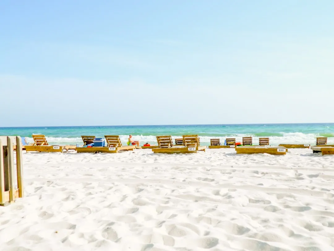
End Point: Panama City Beach, FloridaYour journey concludes at Panama City Beach, Florida, with its iconic sugar-white sandy beaches and vibrant local attractions. The marina in Panama City Beach offers dockage, fueling points, and access to various services. With facilities catering to both recreational and sport boaters, it provides an ideal finish to your cruise.
Useful Apps for Navigation:To bolster your navigation and safety during this trip, consider using the following apps:
As you plan your trip, always prioritize safety by conducting thorough checks of your boat and gear, having life vests at the ready, and preparing for changing weather conditions. This journey from Panama City to Panama City Beach not only offers tranquility and beautiful vistas but allows you to explore unique spots along the Gulf Coast while ensuring an enjoyable and safe cruising experience. Happy sailing!