
Starting Point: Panama City, Florida (Coordinates: 30.141° N, -85.64925° W)Ending Point: Ft. Walton Beach, Florida (Coordinates: 30.4017° N, -86.6064° W)
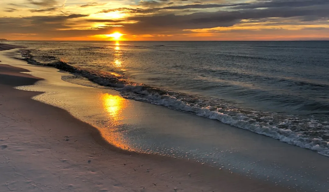
OverviewThis route is ideal for intermediate to experienced boaters looking for a mix of scenic beauty and safe navigation. The journey stretches roughly 50 nautical miles along the emerald green waters of the Gulf Coast, offering plenty of spots for shelter and exploration. This pilotage plan ensures safety while highlighting enjoyable points of interest along the way.
Start your journey in the bustling Panama City, where you’ll want to fuel up—both your vessel and yourself—before setting out. The route will take you through a blend of open waters and protected bays, which is perfect for some leisurely cruising.
1. Leaving Panama City - Head southeast from Panama City Marina, checking your charts to approach the Intracoastal Waterway (ICW). Be mindful of the shallow waters and submerged hazards as you navigate towards the first significant marker at the West Bay area. - Navigational Aids: Pay attention to ICW markers, especially the “flashing green” channel markers.
2. South to West Bay - Along this stretch, you can explore West Bay, famous for its fishing and serene waters. It’s a great place to take a break and cast a line if you fancy some angling. - Shelter Options: Should the weather change unexpectedly, West Bay offers good protection against open Gulf winds.
3. Continuing Past Shell Island - As you proceed south, you’ll pass just to the west of Shell Island, a stunning barrier island that’s an excellent stop for those wanting to stretch their legs, explore nature, or even picnic on the sandy beaches. - Look out for wildlife—dolphins are commonly seen in these waters!
4. Entering St. Andrews Bay - Navigate carefully into St. Andrews Bay, where you will find one of the region's most picturesque seascapes. It is critical to stay on designated channels as shoaling is common. - Point of Interest: St. Andrews State Park is a fantastic day stop for hiking and beach activities.
5. Rounding into Choctawhatchee Bay - As you set your course toward Choctawhatchee Bay, this is where the waters open up. The bay can experience stronger currents, so monitor conditions closely. - Navigational Note: The ITS (Intracoastal Waterway) becomes your guide here, with well-marked buoys guiding your way.
Consider the following bays and coves as backup plans should you need to seek shelter due to weather changes:
1. Navigational Aids: Watch for switch markers and be prepared for possible shoaling as you near the marina at Ft. Walton Beach.2. Local Regulations: Ensure you’re familiar with local speed limits and no-wake zones as you enter the more congested waters.
This route from Panama City to Ft. Walton Beach is ideal for boaters seeking a blend of safety, beautiful scenery, and recreational opportunities. By staying vigilant about navigational aids and maintaining awareness of your surroundings, you can ensure an enjoyable and safe experience on the waters of the Gulf Coast. دریای آرام awaits, and the adventure you embark upon will surely be memorable!