
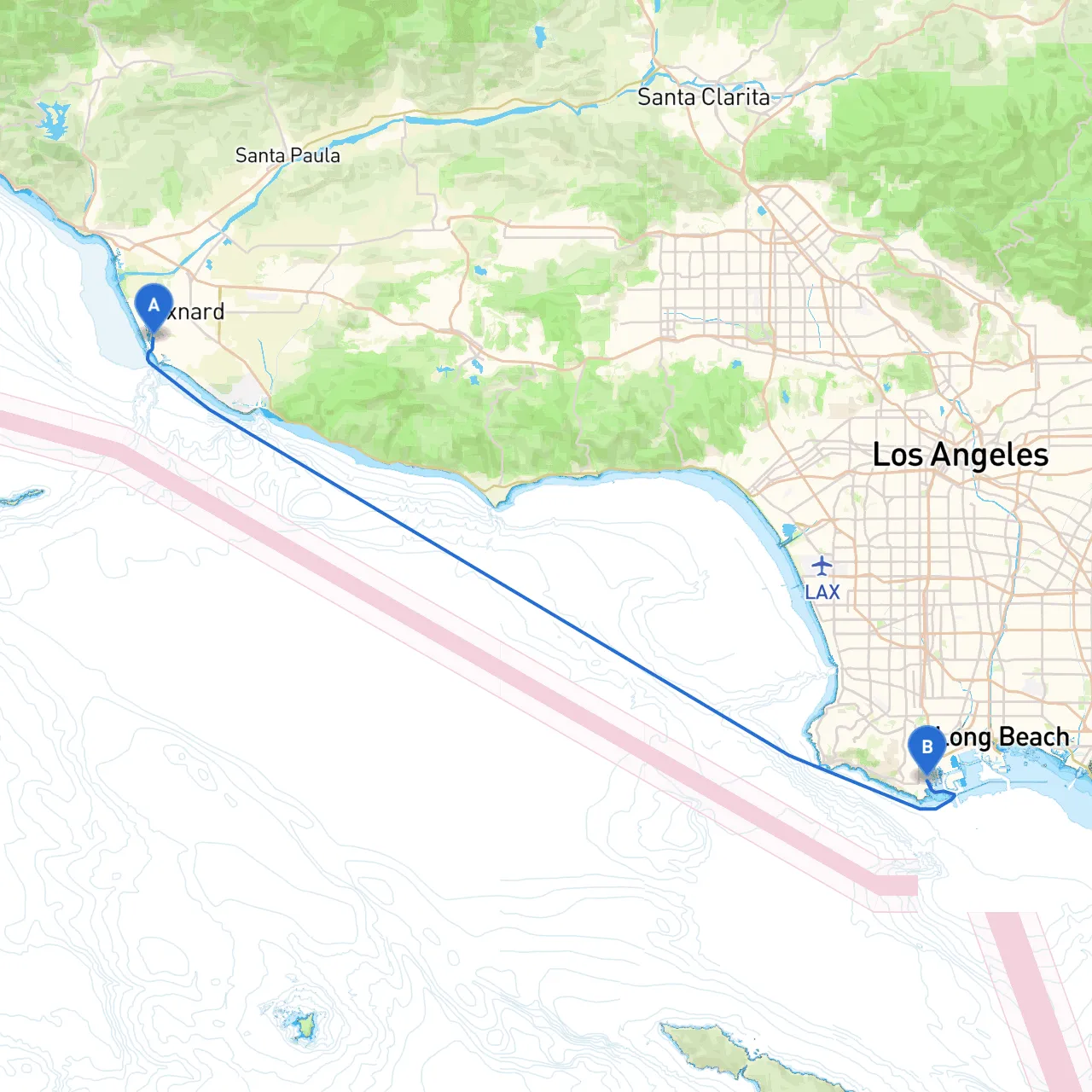
This route from Oxnard to San Pedro offers a fantastic mix of coastline scenery, charming bays for shelter, and beautiful points of interest along the way. The path is suitable for cruisers, especially those with moderate experience, as it provides excellent opportunities for safe navigation while enjoying California’s breathtaking coastal views.
Starting Point: Oxnard, CA Coordinates: (34.17037687107431, -119.22188401222229) Oxnard lies at the southern end of the Santa Barbara Channel, making it an excellent departure point with easy access to seasoned waters.
Ending Point: San Pedro, CA Coordinates: (33.724698826629485, -118.28240007162094) San Pedro features a bustling harbor with many services and amenities for the visiting boater.
1. Approach to the Santa Barbara Channel - The Santa Barbara Channel can have significant currents and chop, especially near Point Mugu. Avoiding strong winds is essential, so check the marine weather forecast before departure. - Always keep an eye on the buoys and be aware of vessel traffic in this busy route.
2. Points of Interest Along the Way - Channel Islands National Park: A stunning group of islands with protected waters. While not directly on the route, a slight detour can bring you to Anacapa and Santa Cruz Islands, great for day trips or anchorage. - Point Dume State Beach: A picturesque landmark best seen from the water. Make sure to maintain a safe distance from the rocky outcrops. - Malibu and Marina del Rey: Both places offer opportunities to take a break, relax, or refuel. Stop at marina restaurants or simply enjoy the beach views.
3. Key Bays for Shelter - Marina del Rey: A large, well-protected marina where you can seek refuge if the weather turns sour. There are also numerous shops and dining options available. - Santa Monica Bay: Offers moderate shelter; however, the waters can be tumultuous on windy days so keep this in mind if heading south.
This trip from Oxnard to San Pedro is suitable for intermediate to experienced boaters looking for an exciting day adventure or a weekend getaway. With its breathtaking coastal views, accessible bays for refuge, and interesting landmarks, it's an ideal route that emphasizes safety while presenting opportunities for enjoyment. Always be vigilant, respect local regulations, and feel free to explore the attractions along the way—there's plenty to see on this beautiful stretch of California coastline!