Pilotage Plan: Norfolk, Virginia to Cape Charles, Virginia
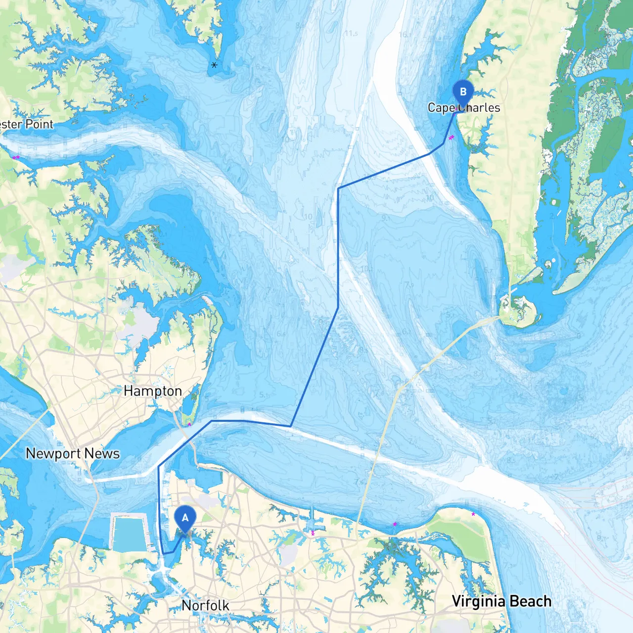
Route OverviewThis boating journey from Norfolk, Virginia to Cape Charles, Virginia, is an enticing route suitable for experienced sailors and cruisers looking to explore the beautiful waters of the Chesapeake Bay region. Spanning approximately 25 nautical miles (about 30 miles over the ground), it presents a mixture of serene waterways and the occasional open bay, offering excellent opportunities for returning leisure mariners and seasoned boaters alike.
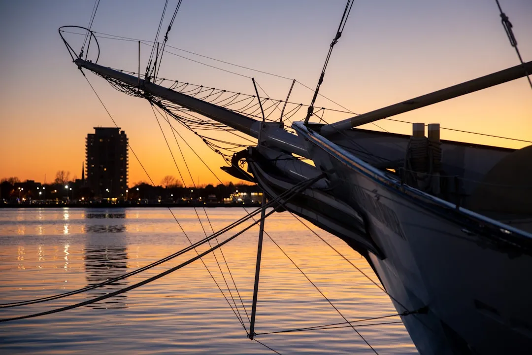
Segment 1: Departure from NorfolkBegin your adventure by casting off from the bustling harbor of Norfolk. As you navigate your way out, be mindful of the busy shipping channels surrounding you. These waters can be quite active, especially with commercial vessels transiting to and from the nearby military bases and commercial docks.
Utilize the appropriately marked navigation aids, such as buoys and beacons, especially the green and red markers that differentiate between the channels. Take note of local regulations pertaining to vessel speed limits (typically, 6 knots in certain areas). Give yourself plenty of room from larger vessels, particularly in areas of heavy traffic.
Points of Interest to Consider:
Sheltering Bays:If the weather takes a turn for the worse, heads up to Hoffler Creek on the starboard side as you exit Norfolk. It serves as a refuge with its wide mouth and calm waters.
Segment 2: Cruising to Cape CharlesAs you leave the confines of Norfolk, the waters will open up, presenting you with the beautiful vistas of the Chesapeake Bay. The marine traffic should start to thin as you approach the mouth of the bay, but always keep your eyes peeled for sailing and fishing boats alike.
The light wind often creates ideal sailing conditions, making this portion enjoyable for cruisers. Keep an eye out for the Chesapeake Bay Bridge-Tunnel, a breathtaking structure connecting the mainland to the Eastern Shore. This iconic landmark is a must-see and perfect for a photo opportunity.
Navigation Aids:As you navigate towards Cape Charles, follow the navigational buoys carefully. The Chesapeake Bay Symbology is imperative for safe passage. Be particularly vigilant around Chick’s Beach, known to experience shifting sandbars. Note the warnings about shallow waters and ensure you have a proper depth gauge on board.
Points of Interest Along the Route:
Final Destination: Arriving at Cape CharlesAs you approach Cape Charles, prepare for protected waters that are ideal for docking. The marina is equipped with all the necessary amenities for a pleasant stay, including fuel, food, and repair services.
Also, check the local regulations before mooring—many marinas may have specific guidelines you’ll need to follow.
Safety Considerations:Always keep a weather eye while on your trip. Utilize multiple weather apps, including savvy navvy, which provides real-time data. Having a good radar system and VHF radio can also enhance communications and safety while cruising.
Utilize life jackets for all aboard, and maintain your vessel’s safety equipment, including flares, first-aid kits, and fire extinguishers. Familiarizing yourself with the local wildlife regulations is essential, especially regarding protected areas and fishing licenses.
Conclusion: A Journey Worth TakingIn summary, this waterway journey showcases not just the beauty of Virginia’s coastline but also the rich maritime history apparent throughout the area. While safety is paramount, the scenic views, intriguing sites, and nearby sheltered bays make this trip to Cape Charles an unforgettable outing for any seafarer looking for adventure and exploration. Enjoy your time on the water, but always prioritize safety, ensuring a memorable experience.