
Pilotage Plan: Newport News, Virginia to Portsmouth, Virginia
Embarking on a journey from Newport News to Portsmouth, two vibrant ports in Virginia, promises not only a delightful day on the water but also a vital opportunity to refine your navigational skills. This route, catering to both recreational and seasoned boaters, is not short on picturesque views, historical significance, and potential rest stops.
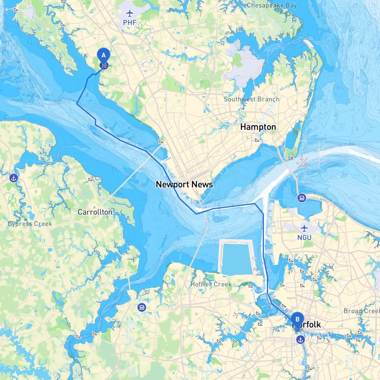
Starting Point: Newport News, Virginia (Coordinates: 37.084935687126, -76.521908421564)
1. Departure from Newport News: - As you cast off from Newport News, ensure your vessel is prepared for the journey. Clear channels lead from the marina into the Hampton Roads harbor, known for its busy waterways and crosscurrents.
2. Navigating Hampton Roads: - Once in the harbor, follow the channel markers southward. Keep an eye on the large vessels; this area is a key shipping lane. The buoys and markers will guide you, but constant vigilance is necessary, especially in inclement weather.
3. Exploring the Elizabeth River: - After navigating past the Norfolk Naval Shipyard, you’ll make your way up the Elizabeth River. This stretch is bustling with activity – Navy vessels and commercial traffic are common, so maintaining a watchful eye for navigation aids (like lighthouses and day markers) is essential. Always adhere to local speed limits, particularly in no-wake zones around marinas and residential areas such as Portsmouth.
This journey from Newport News to Portsmouth is not just a route; it’s an experience that combines maritime tradition with natural beauty. Ideal for recreational boaters, this route contains diverse points of interest and cozy bays where you can find refuge. To enhance your adventure, consider using reputable navigation apps like Savvy Navvy, as well as others such as Navionics or C-Map, for real-time updates on local conditions.
Safety is paramount, so always check the weather before you leave, ensure you have appropriate safety gear aboard, and remain aware of your surroundings at all times. Enjoy your journey through these historic waters!