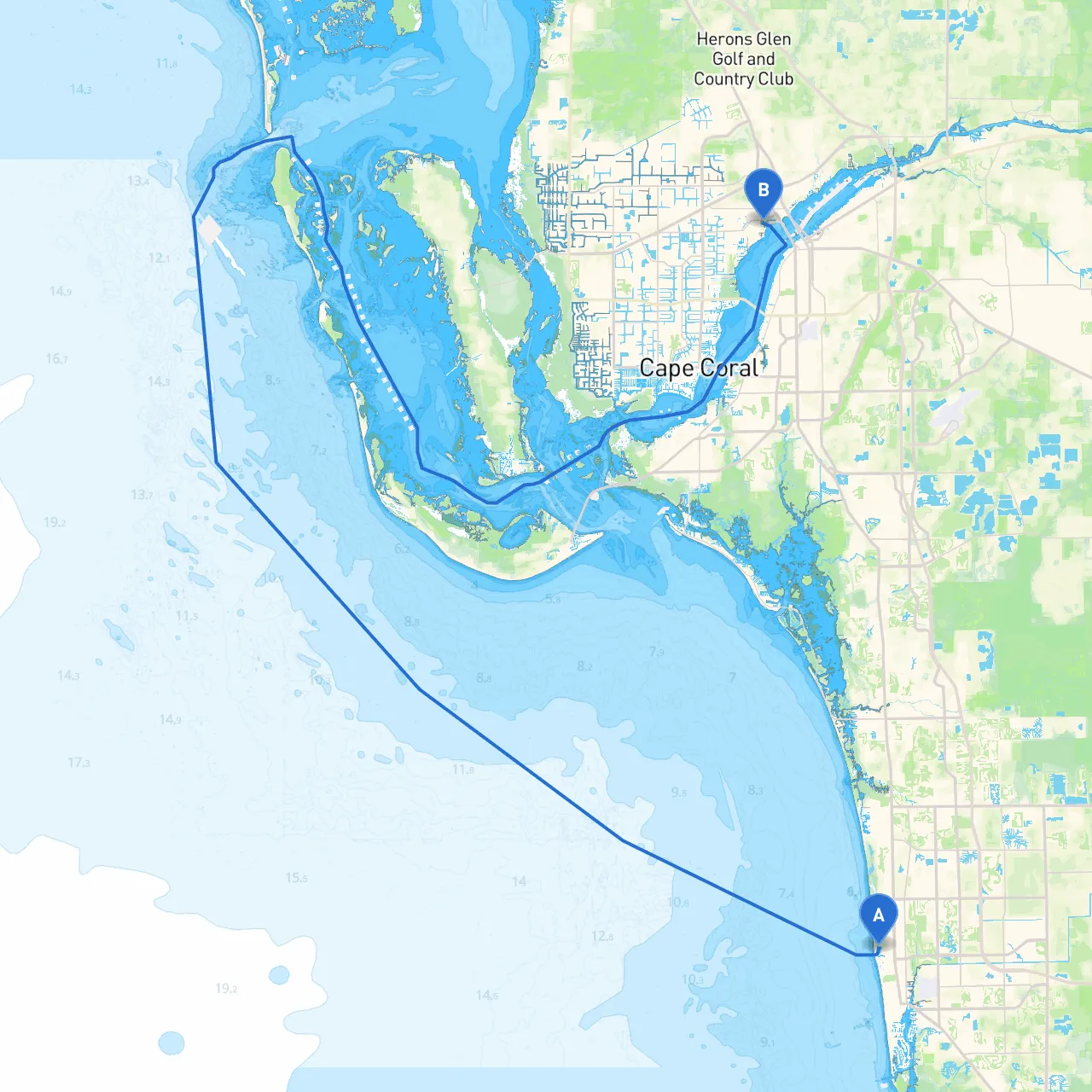
Pilotage Plan: Naples, Florida to North Fort Myers, Florida
Starting Point: Naples, Florida Coordinates: Long: -81.811166, Lat: 26.1787 Ending Point: North Fort Myers, Florida Coordinates: Long: -81.8963, Lat: 26.6577
Trip Overview This planned journey spans approximately 25 nautical miles through some of Florida's most beautiful coastal waters. Ideal for recreational boaters, this route offers opportunities to appreciate stunning scenery, diverse wildlife, and various attractions. Along the way, I will highlight safe harbors, navigational aids, and landmarks that enhance the experience while prioritizing safety.
Section 1: Departure from Naples
As you set out from Naples, your first task is to clear the busy city harbor. The Naples Bay is a bustling area, so proceed with caution through the navigable channel marked by sufficient buoys and lights. Pay attention to the local regulations; idle speed is enforced in some zones. A pleasant landmark to observe is the Naples Pier, a historic structure that stretches out into the Gulf of Mexico, perfect for photo opportunities.
Hazards to be Aware of:
- Shallow areas close to the shoreline, especially near the beach.
- Busy boat traffic, particularly in peak hours.
Section 2: Heading West towards the Gulf
Once you clear Naples Bay, head west into the Gulf of Mexico. The open sea here can offer a different experience, where conditions can change quickly. Watching for landmark buoys is crucial; notice the red "nun" markers on your starboard and green "can" markers on your port as you navigate these waters.
Section 3: Transitioning to Estero Bay
About halfway through your journey, you will encounter the entrance to Estero Bay. This is an excellent diverging point for those wanting to explore the bay's scenic beauty or take refuge should the weather become inclement. Estero Bay is less exposed than the Gulf and offers shelter from high winds and swells.
Points of Interest:
- Lovers Key State Park: Accessible via water, this park offers beautiful beaches and hiking trails.
- Bonita Springs: A charming spot for dining and exploration if you decide to stop.
Important Navigational Aids:
- The "Lovers Key" mark will guide you safely into the bay.
Section 4: Continuing North
As you proceed northward through Estero Bay towards Fort Myers, keep a lookout for dolphin and manatee; these waters are popular with local wildlife and great for wildlife watching.
Local Restrictions: Be mindful of no-wake zones, as established by local waterways regulations, particularly near town areas and during wildlife breeding seasons.
Section 5: Arrival at North Fort Myers
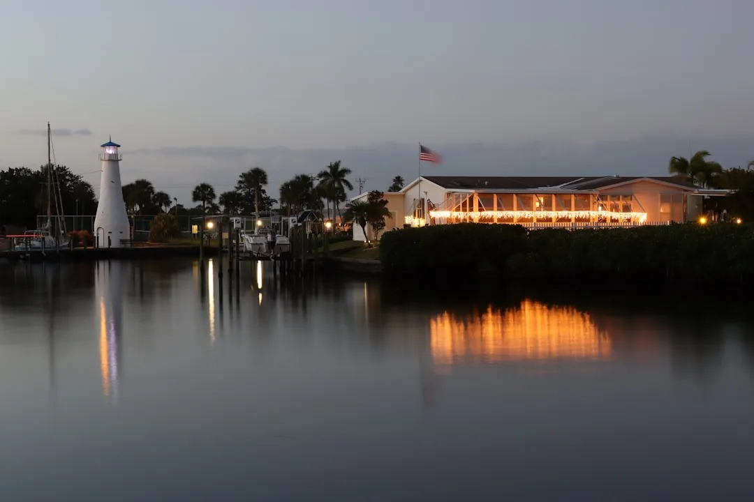
Approaching North Fort Myers, enter through the Caloosahatchee River, where you’ll find the waters calm and the environment more urban with noticeable landmarks such as the River District.
Shelters Along the Way:
- Use the nearby docks available along the river for tie-up options; there are local facilities with amenities for boaters.
Final Recommendations: When completing your journey, always check local marine weather updates and make use of navigation apps like Savvy Navvy for accurate route tracking, weather alerts, and to stay informed of local marinas or emergency contacts.
Summary & Boating Conditions: This route is suitable for recreational boaters of all levels, from novice to seasoned sailors. Always prioritize safety over adventure and keep communication lines open for any local advisories. Be sure to carry safety equipment, including a life jacket for every passenger, as well as a fire extinguisher and first aid kit.
Engaging in this beautiful route between Naples and North Fort Myers balances safety, exciting coastal adventures, and the stunning beauty of Florida’s waterways, making it an unforgettable boating experience. Enjoy your travels!