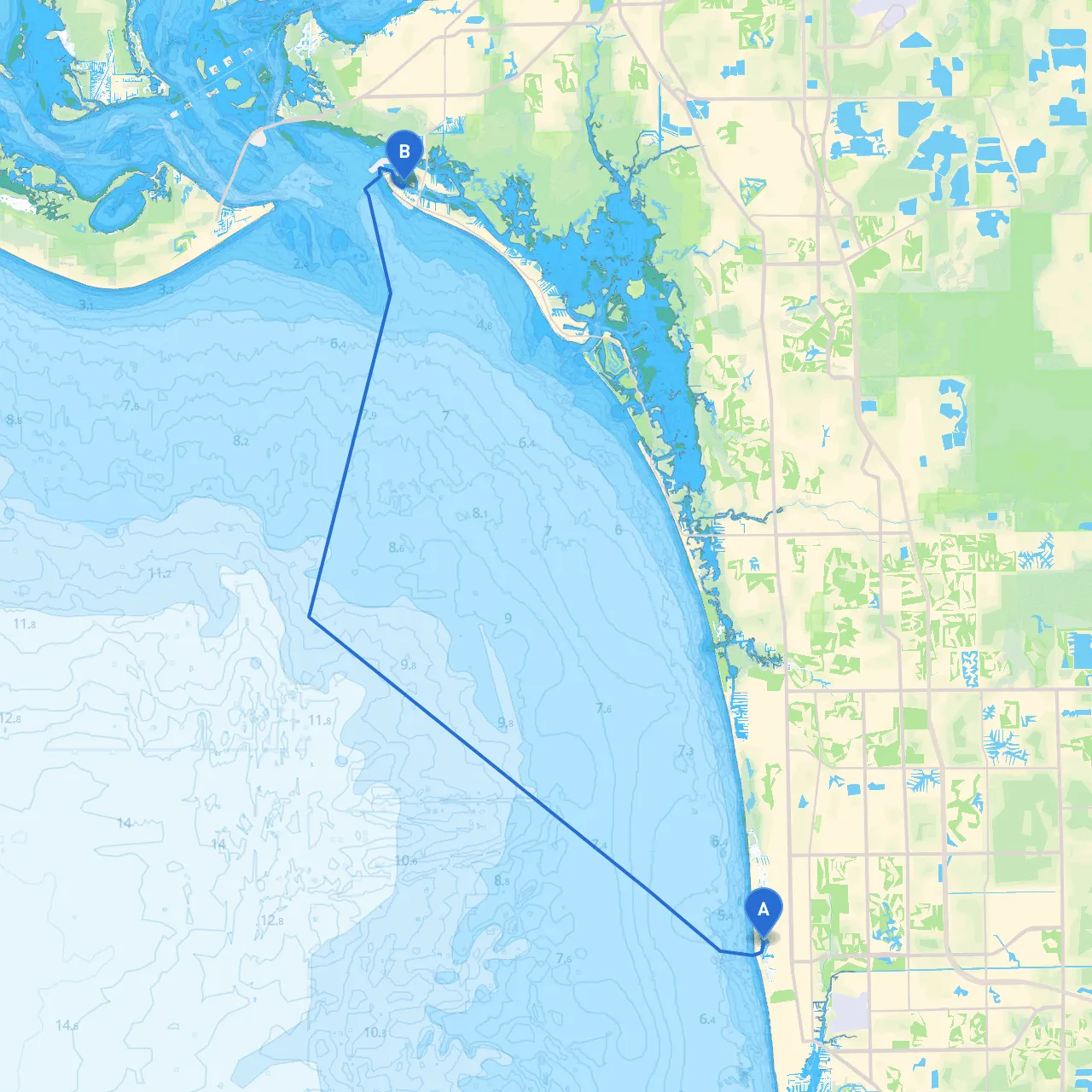
This boating adventure from Naples to Fort Myers Beach is a delightful route that combines the beauty of coastal cruising with the thrill of exploration. The distance covered is approximately 20 nautical miles, and while the journey is relatively straightforward, seasoned boaters will appreciate the navigational considerations along the way. This route is particularly suitable for recreational boaters and families looking to enjoy a day out on the water.
You’ll begin your trip at the stunning Naples waterfront. Start at the coordinates 26.1786666667, -81.8111666667. Before setting off, check the local marine weather forecast for wind speeds and tidal patterns, as they can significantly affect your journey.
One of the primary hazards on this route is the shallow waters. As you navigate out of Naples Bay, it's important to stay within the channel markers. Pay close attention to buoys and channel guides, particularly at the entrance of Naples Bay where it's easy to drift into shallower areas. The West Coast Inland Waterway (ICW) is a well-marked channel, so make sure to keep an eye on navigational aids along the way.
As you exit Naples Bay, head northeast toward Gordon Pass. This section takes you past the luxurious homes lining the coast and offers a captivating view of the Gulf of Mexico. The marker at Gordon Pass (Day Beacon
If the weather starts to turn nasty, heading into Capri Pass is a viable option for safety. The anchorage provides decent protection from winds coming from the west and northwest, allowing for a safe haven while waiting for clearer conditions.
Transiting through the Gulf, keep your course steady towards Big Carlos Pass. This area can have variable conditions based on the tidal movements, so it's important to consult tidal tables before making this leg of the journey. The beach route you’ll take alongside has stunning views of nature preserves, and you may spot dolphins or manatees, which always adds excitement to the trip!
As you approach Big Carlos Pass, consider a brief detour to visit Lovers Key State Park. This gem offers picturesque trails, pristine beaches, and opportunities for kayaking and shell collecting – perfect for a midday break.
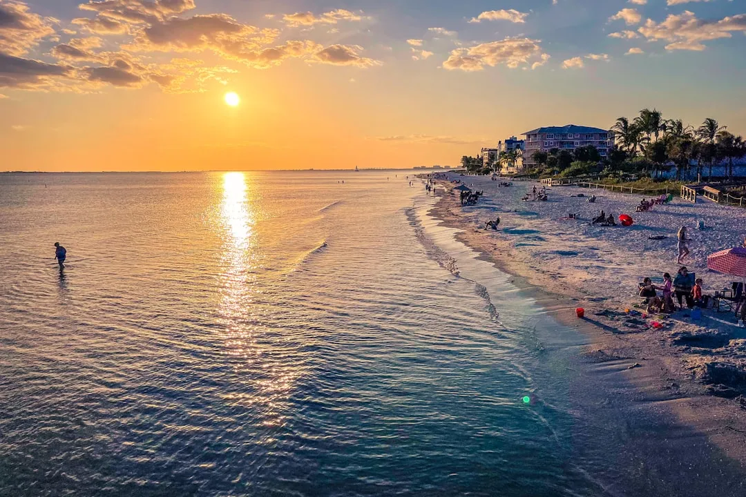
Continue your journey towards Fort Myers Beach (coordinates 26.460670452, -81.960357373). Upon approaching, note the well-marked channel leading into the beach area. Keep an eye on the waterfront developments that spell the area's vibrant atmosphere. The beach area is bustling with activity, restaurants, and bars perfect for unwinding after a day of cruising.
Throughout your route, rely on your chart plotters and familiarise yourself with the various navigation aids. It's crucial to adhere to local regulations which may include speed limits in certain areas or safe distances from wildlife zones, particularly around estuaries and shallows. It’s also advisable to keep an eye on local traffic patterns, especially as you get closer to Fort Myers Beach.
Before embarking, ensure that you have the appropriate safety equipment on board, including life jackets, a first aid kit, fire extinguishers, and flares. It’s also recommended that you equip your boat with a reliable VHF radio for communication and emergency services.
Don’t venture out without your trusty navigation apps! Consider using:
This journey from Naples to Fort Myers Beach encapsulates the essence of Southwest Florida’s coastal charm. While safety is the priority, the added aspects of natural wonder and exciting stops make this a memorable trip. Enjoy the splendid views, explore beautiful beaches, and above all, navigate responsibly for a successful outing on the water!