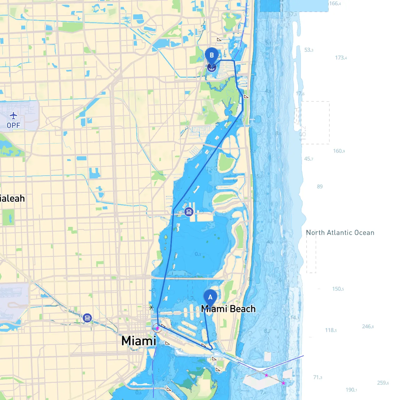
Pilotage Plan: Miami Beach to North Miami Beach
Route OverviewEmbarking on a boat journey from the vibrant Miami Beach to the scenic North Miami Beach offers a unique opportunity to explore the diverse waterways and coastal beauty of South Florida. This route is particularly suitable for recreational boaters, including families, day-trippers, and those looking to enjoy a brief escape on the water.
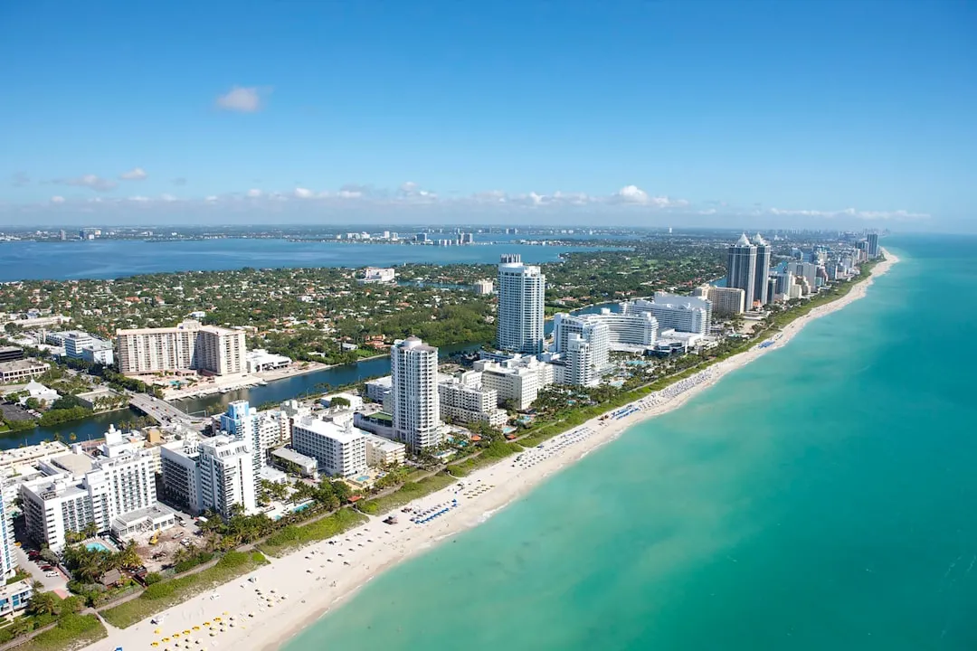
Starting Point: Miami Beach, FloridaYour adventure begins at the coordinates (25.7926166667, -80.14695) in Miami Beach. Known for its iconic Art Deco architecture and lively beaches, this area serves as a fantastic launch point. Before setting sail, it’s advisable to check the local weather conditions and ensure your vessel is well-equipped with all necessary safety gear, including life jackets, flares, first aid kits, and navigational tools.
Points of Interest Along the RouteAs you cruise along the Atlantic Intracoastal Waterway, the vibrant scenery will captivate you. A few notable spots to keep an eye out for include:
1. Haulover Park - Just a few nautical miles north of Miami Beach, Haulover Park is a great place to enjoy panoramic views of the coastline and take a break. This area also features beautiful beaches and picnic spots if you wish to hop off your boat for a moment.
2. Sunny Isles Beach - Known for its luxury high-rises and idyllic beachfront, you might want to slow down and take in the sights here. This area is bustling with opportunities for dining and other recreational activities right along the coast.
3. Oleta River State Park - This hidden gem is located just a bit further up the route. This state park offers paddling trails, hiking, and opportunities to spot wildlife. A great stop for those looking to stretch their legs or have a picnic.
4. The Intracoastal Waterway - While cruising, don’t forget that this waterway provides stunning views of the waterfront properties and yacht clubs. The tranquil waters here make for a serene experience as you navigate north towards your destination.
Navigational ConsiderationsAs you progress on your route, here are essential navigational aids and considerations to keep in mind:
Shelter OptionsIn case of inclement weather, it's vital to have backup plans for shelter:
1. Bays and Inlets: Should bad weather arise, seeking refuge in Haulover Inlet or the calmer waters of Baker's Haulover Cut is advisable. These locations can provide temporary protection until conditions improve.
2. Marinas Along the Route: Several marinas and docking facilities exist along the waterway, such as the Haulover Marina and proximity to the North Miami Beach Marina, where you can safely dock your boat.
End Point: North Miami Beach, FloridaYour trip concludes at North Miami Beach, situated at (25.9341333333333, -80.1460166666667). This area is rich in cultural attractions, parks, and beachfront activities. It’s a perfect location for some post-cruise exploration or relaxing at one of the local eateries.
Safety FirstRemember to continuously monitor local weather patterns as they can change quickly along the coast. Investing in a reliable boating app like Savvy Navvy ensures that you have access to real-time data regarding weather conditions and navigational routes. Other notable apps include Navionics for detailed marine maps and Coast Guard’s mobile app for safety alerts.
With proper planning and safety measures in place, this route from Miami Beach to North Miami Beach promises a memorable and enjoyable boating experience. Happy cruising!