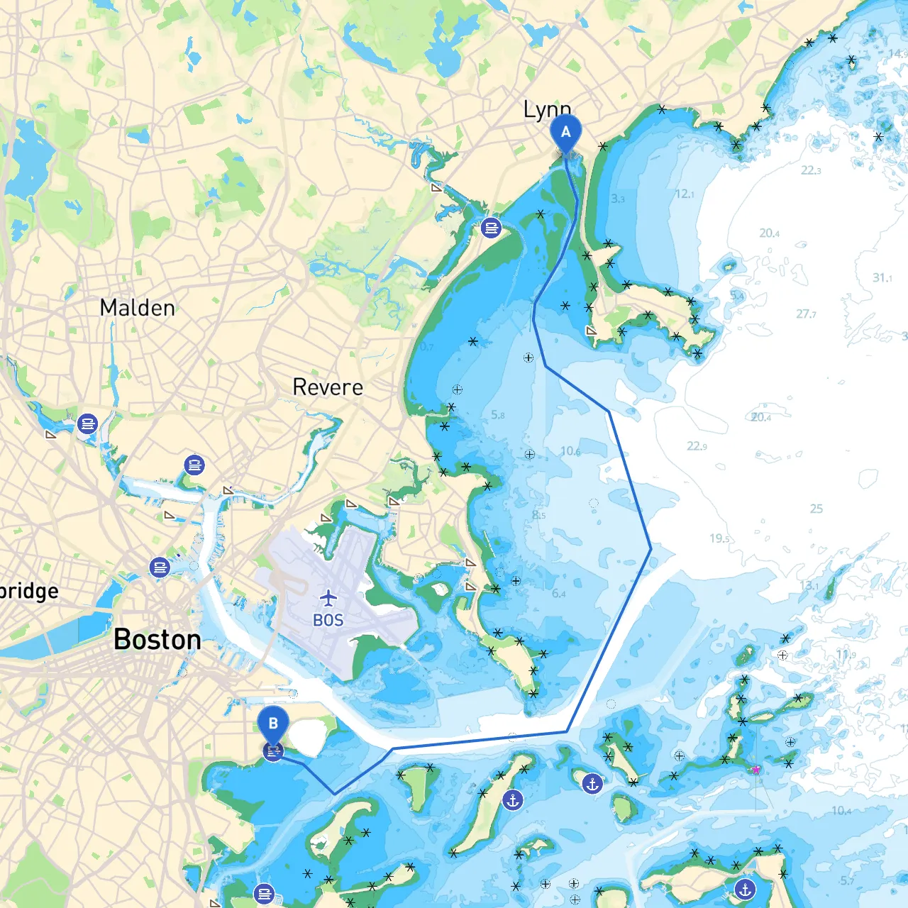
Pilotage Plan: Lynn, Massachusetts to South Boston, Massachusetts
Setting sail from Lynn, MA, to South Boston presents a wonderful opportunity to navigate the picturesque waters of Massachusetts Bay and the harbor, offering breathtaking views of both urban and natural landscapes. This route is particularly well-suited for experienced boaters, as it requires navigating through busy waterways and understanding local maritime regulations.
As you prepare to depart from Lynn (Coordinates: -70.944233, 42.456165), ensure that your vessel is well-equipped and ready for the journey ahead. Lynn's waters can sometimes be unpredictable with tidal currents; hence, checking the local tide charts can be crucial for a smooth departure.
1. Lynn Harbor: Before you venture out into Massachusetts Bay, take a moment to enjoy the scenic views of Lynn Harbor. Here, various local marinas offer amenities that cater to transient boaters.
2. Nahant Beach: As you head south, you can catch a glimpse of Nahant, a peninsula known for its beautiful beaches and waterfront views. It's a charming spot for a quick stop should you desire to stretch your legs.
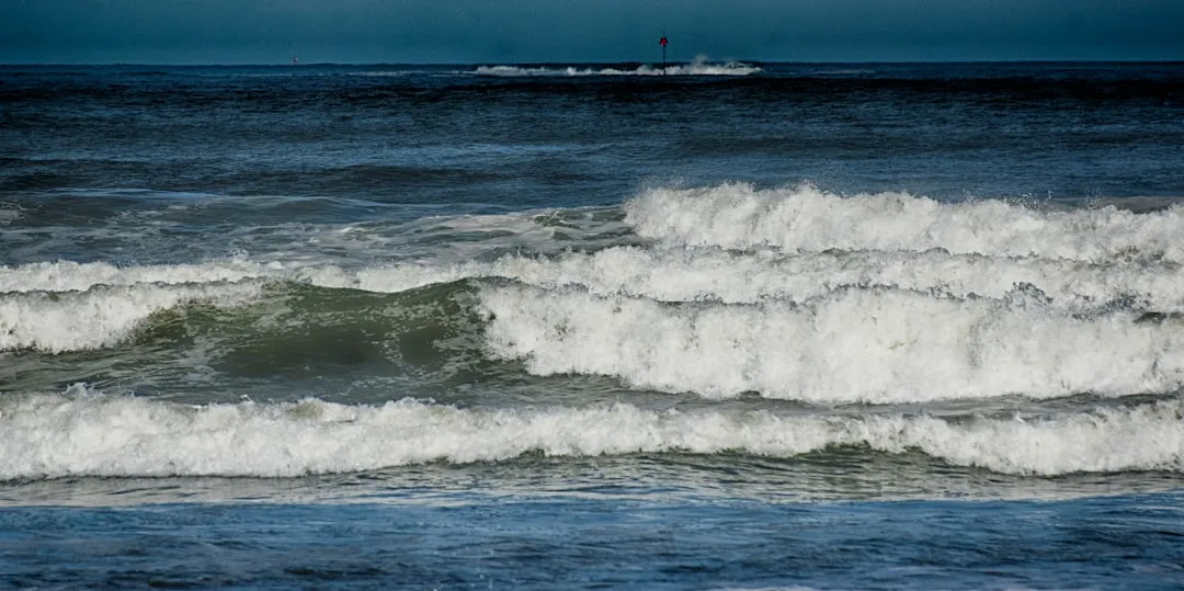
3. Revere Beach: Continuing on, you'll skim past Revere Beach, one of America’s oldest public beaches. A quick anchoring for lunch here might just be the refreshment you need while enjoying the views of the sand and surf.
4. Boston Harbor Islands: A short detour could lead you towards the Boston Harbor Islands, especially Spectacle Island. This area often has boaters anchoring for a leisurely day of exploration, hikes, or simply soaking up the sun.
If you encounter deteriorating weather, seeking refuge in Winthrop Harbor is recommended; it’s typically more sheltered from strong winds and swell compared to open waters. Additionally, Hingham Bay is another option for those heading towards the inner harbor area, with the marinas there often welcoming transient boats.
The route from Lynn to South Boston is generally guided by the Massachusetts piers and lighted buoys. Notable points to watch for include:
The journey from Lynn to South Boston is full of potential for memorable experiences while ensuring safety is prioritized. The combination of scenic landscapes, fun stops, and well-marked navigational aids creates an enriching cruising experience. For further navigation assistance, consider using boating apps such as savvy navvy, which simplifies planning your route and provides real-time data on tides and hazards.
This trip embodies the essence of New England's coastal charm and offers a unique blend of adventure and relaxation. Make sure your vessel is stocked, your crew is briefed, and set forth to enjoy the journey ahead!