Pilotage Plan: Key Largo, FL to Coral Gables, FL
Introduction
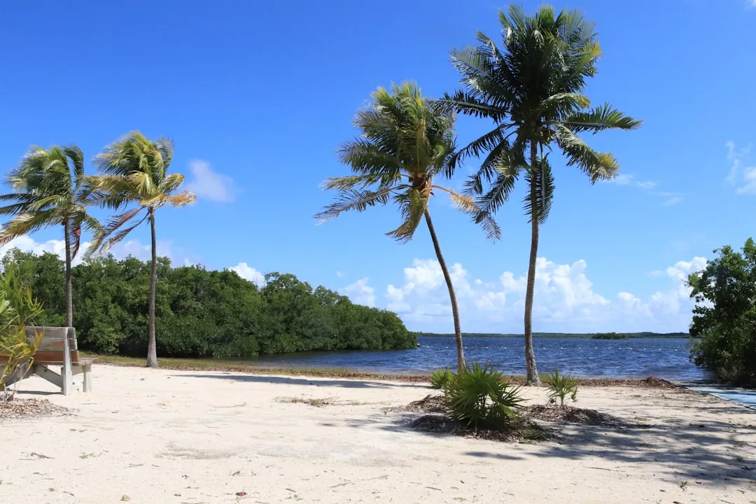
Embarking on a boat journey from Key Largo to Coral Gables offers a delightful mix of scenic views, rich marine life, and the charm of South Florida’s coastal landscape. While this trip is perfect for intermediate to seasoned boaters seeking to appreciate nature's beauty, safety is paramount as you navigate these waters.
Route Overview
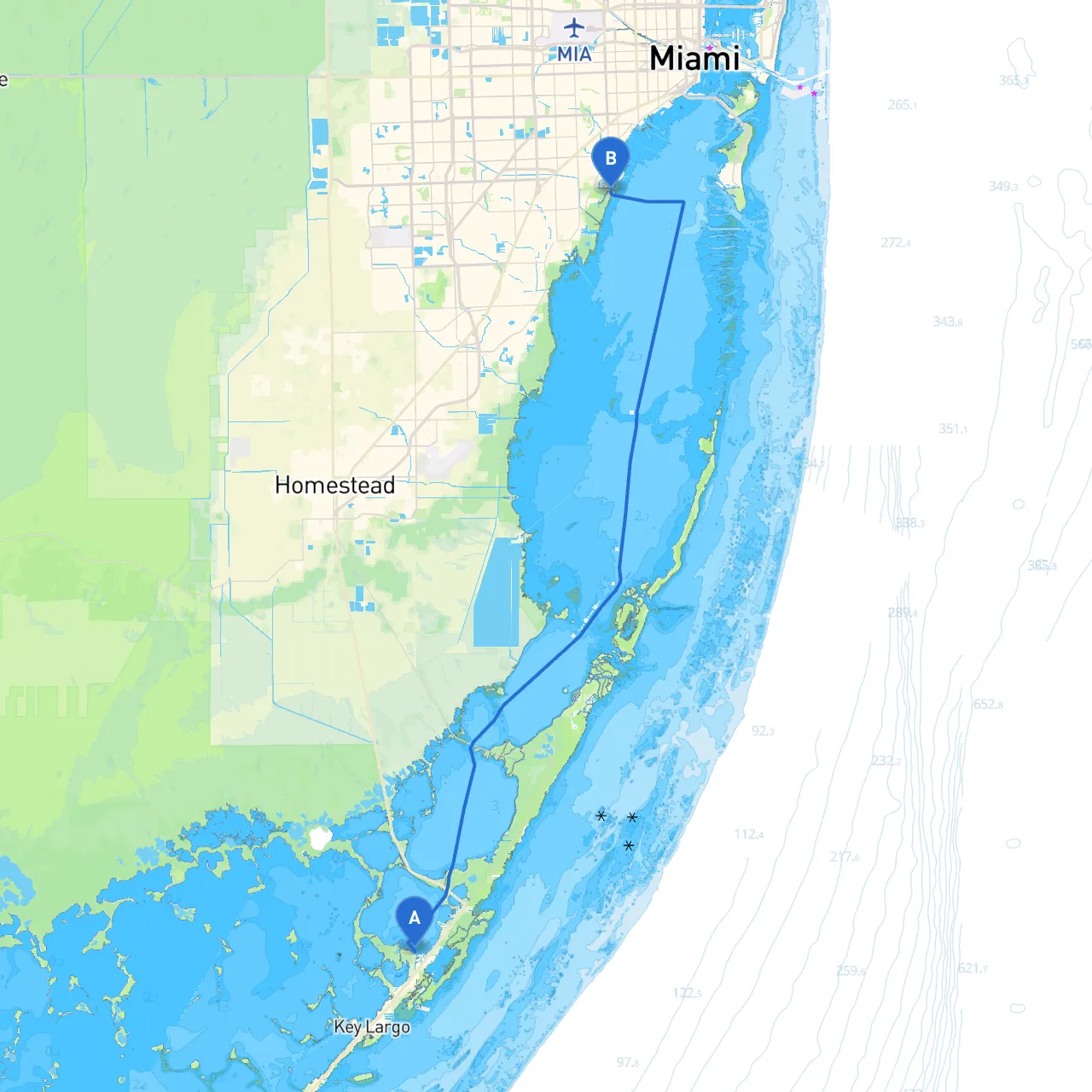
Starting Point: Key Largo, Florida (Coordinates: -80.4132, 25.14067) Ending Point: Coral Gables, Florida (Coordinates: -80.25917, 25.67967) Distance: Approximately 53 nautical miles
Shelters Along the Way
1. Biscayne National Park This stunning park offers safe mooring options and fantastic snorkeling opportunities. If the weather turns unfavorable, it’s an ideal spot to seek refuge and marvel at the coral reefs and aquatic life.
2. Black Point Marina Located just before reaching the mainland, this marina serves as a great last stop for supplies, fuel, and food. With a safe harbor and various amenities, it’s a practical spot for shelter.
3. Virginia Key Just south of Miami, Virginia Key offers a protected anchorage and access to some lovely beaches. The area is popular for its scenic views and can be a great place to take a break.
Points of Interest
- Molasses Reef: A popular diving destination known for its coral formation and marine life. A perfect stop for snorkeling enthusiasts.
- Hurricane Harbor: A unique mangrove area ideal for observing local wildlife. It’s a serene place to drop anchor for a picnic.
- Miami Seaquarium: While not a traditional stop for boaters, the marine life surrounding the area is something to behold. Check the nearby waterfront for docking options.
Navigational Aids
As you navigate your route, keep a close eye on the following aids and landmarks:- Raccoon Key Light: This critical navigational marker indicates a point where care is required for safe passage.
- Fowey Rocks Lighthouse: Make this prominent historical lighthouse your waypoint as you approach the entry to the Miami area.
- Dade County Channel: Be attentive to the channel markers here, as the waters can get busy with fishing vessels and commercial traffic.
Local Restrictions and Regulations
There are no wake zones, particularly around marinas and residential areas, so be sure to watch your speed.2.
Ensure you have the correct licenses if you wish to fish, and adhere to bag limits and seasonal restrictions.3.
Be mindful of the marine and bird life you encounter. Avoid disturbing nesting areas, particularly around Biscayne National Park.
Conclusion
This route from Key Largo to Coral Gables is not only picturesque but also thoughtfully designed to ensure your safety and enjoyment. By prioritizing well-known shelters and navigational aids, you can dock or anchor confidently while reveling in the natural splendor that South Florida has to offer.
Boating Apps to Consider
To enhance your navigation experience, consider using:- Savvy Navvy: A fantastic app that offers charts, weather updates, and route planning tools.
- Navionics: Great for maps and depth data.
- Google Earth: Helpful for visualizing the route and nearby points of interest.
Remember, this journey is about enjoying the seas while ensuring your safe passage. Happy boating!