Pilotage Plan: Georgetown, South Carolina to Pawleys Island, South Carolina
Overview Embarking on a journey from Georgetown to Pawleys Island offers a delightful mix of scenic beauty, safe navigation, and rich local culture. This trip is ideal for a recreational boater looking for a peaceful day on the water, with opportunities for exploration and a safe return should circumstances dictate.
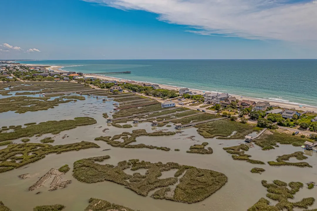
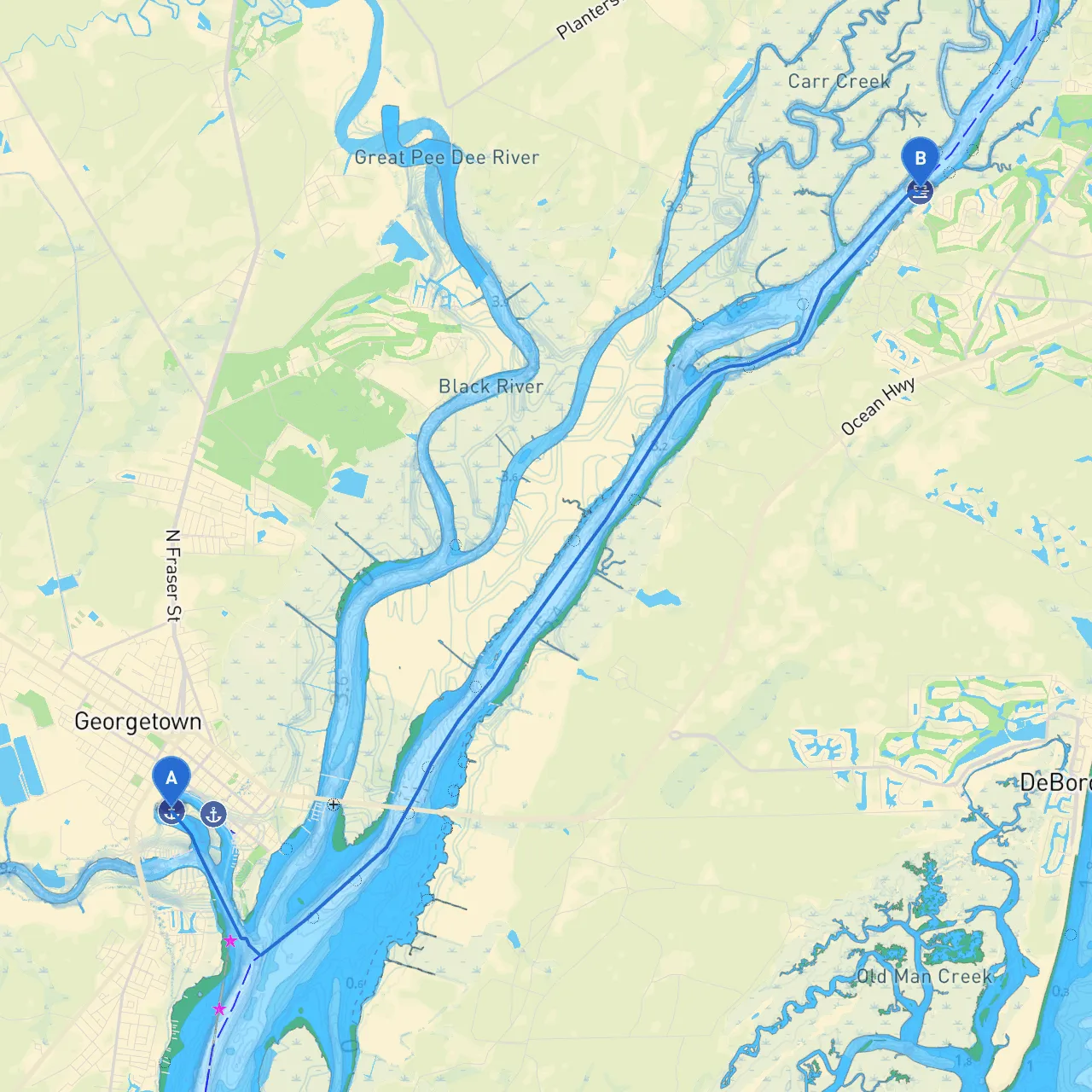
Route Description The distance between Georgetown and Pawleys Island is approximately 15 nautical miles along the Intracoastal Waterway (ICW). This route is primarily protected and offers a relaxing cruise along some of South Carolina’s most picturesque coastline.
1. Departure from Georgetown Begin your journey at the Georgetown Marina, which is a convenient launching point. As you leave the marina, maintain a good lookout for commercial traffic. The marina provides excellent facilities, and the friendly staff can offer insights into local conditions or hazards that may be present.
2. Navigational Aids As you head east, you'll quickly encounter the Georgetown Lighthouse, a prominent navigational landmark. This will help orient your course as you transition into the Intracoastal Waterway, where you’ll follow markers accordingly.
3. Points of Interest - Winyah Bay: Approximately 4 nautical miles from Georgetown, Winyah Bay can serve as a notable landmark and is a good option for a brief stop if time allows, as it sprawls with rich wildlife and stunning marsh areas. - Hunting Island: Though a bit outside the direct path, this area provides an excellent opportunity to observe nature. The waters are generally safe, but be cautious of shallow spots.
4. Safe Havens Along the Route If the weather turns unfavorable, there are several safe havens: - Murray Creek: This creek provides a sheltered location to wait out any squalls. It is marked well and has adequate depth for most vessels. - Debordieu Creek: Accessible with adequate clearance, this area is also a sought-after spot, particularly in inclement weather.
Navigational Concerns While the route is generally safe, certain navigational considerations should be noted:
Attractions and Activities While the focus remains on safety, the trip offers opportunities for leisure:
Recommended Apps For effective navigation, here are some app recommendations to assist you:
In summary, this trip along South Carolina’s picturesque coast is perfect for recreational boaters seeking a safe route to explore the local waters. By adhering to navigation protocols and remaining cognizant of weather conditions, you can enjoy a beautiful, safe day on the water. Stay vigilant, and happy cruising!