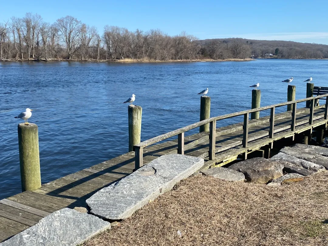
Starting Point: Essex, ConnecticutThe journey begins in the charming town of Essex, located on the Connecticut River at the coordinates long/lat -72.3795, 41.3715. This historic town offers a picturesque backdrop with its scenic waterfront and quaint shops. Before you set off, it’s wise to check your vessel thoroughly, ensuring all safety equipment is onboard—life jackets, flares, fire extinguishers, sound-producing devices, and a first-aid kit.
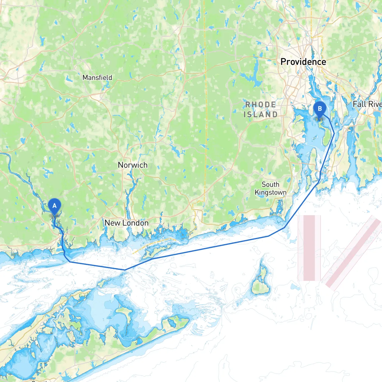
Route OverviewThe majority of the trip will take you through the Long Island Sound, which is a significant body of water from a navigational standpoint. The distance covered will be roughly 40 nautical miles, and the time will vary based on your boat’s speed—generally taking around 6-8 hours at a moderate cruising pace.
Navigational Route Sections
1. Essex to Saybrook Harbor Start your journey navigating down the Connecticut River towards Long Island Sound. From Essex, head south, keeping a close eye on the navigational aid at the Old Saybrook Light (LLNR 13525). This lighthouse is a critical point, marking the entrance to Saybrook Harbor, a well-sheltered area where you can find refuge should the weather suddenly change.
As you approach Saybrook Harbor, there are no restrictions for small craft, but always remain alert for commercial traffic. In Saybrook, you can enjoy some downtime and explore the local restaurants or take a short stroll along the beach.
2. Saybrook Harbor to Clinton Once you have rounded the breakwaters, you will be entering Long Island Sound. Make your way towards Clinton, being cautious of the coastal currents which may be particularly strong. You’ll want to look for the Clinton Harbor Lighthouse (LLNR 13545). While it offers no docking facilities, it's a great landmark.
Here, the shoreline offers several options for a brief stop to stretch your legs or grab a bite.
3. Clinton to Westbrook and Old Saybrook Continuing east, navigate towards Westbrook, passing through waters where you may encounter yacht traffic; always keep a lookout for fishing boats that tend to populate these waters. The Westbrook Marina is a potential stopping point if you wish to refill supplies or wait out unfavorable weather. The locally recommended anchorages give great protection from northeast winds.
4. Old Saybrook to Middletown Beyond Old Saybrook, you will proceed towards Middletown. As you approach, take care to avoid entering the Connecticut River and instead drift slightly offshore to remain clear of any large shipping lanes. After this leg, it’s best to consult tidal charts and local forecasts as conditions can shift rapidly.
5. As you Cross into Rhode Island waters Your arrival near the Rhode Island border will have you onboard radar and GPS navigation tools ready, especially as you get closer to landmarks such as the Point Judith Light. These must-visit points will lead you smoothly towards the final destination.
Final Approach to Portsmouth, Rhode IslandAs you near Portsmouth, navigate towards the Sakonnet Point Light. Entering the Sakonnet River, you'll need to pay close attention to the channel markers due to the shifting sandbars. Head to the Mt. Hope Bay where anchorage can often be found in calmer conditions. The town of Portsmouth offers a mix of natural beauty and local attractions, from historic sites to nature trails.
Along your route, be sure to observe all navigational aids. Pay special attention to the buoys and lights marking shipping lanes and navigational hazards. Keep updated with local maritime regulations, particularly with any seasonal restrictions on certain areas.
Before departing, ensure your vessel is combative against sudden weather changes—keep track of forecasts through reliable apps like Savvy Navvy. This plan aims to outline a picturesque yet practical journey to experience the beautiful waters of Long Island Sound and the mouth of the Sakonnet River.
This route is ideal for recreational cruisers seeking a blend of scenic vistas, local culture, and safe harbors along the way. Enjoy your journey, and navigate wisely!