
Pilotage Plan: East Hampton, NY to Port Jefferson, NY
Departure from East Hampton, NYAs you set sail from East Hampton, it’s essential to ensure your vessel is in optimal condition. East Hampton is a charming seaside village, and launching from its marina puts you right into the gorgeous waters of the Atlantic Ocean and beyond. Given the local tides, planning your departure around high tide might provide you with a smoother exit from the harbor.
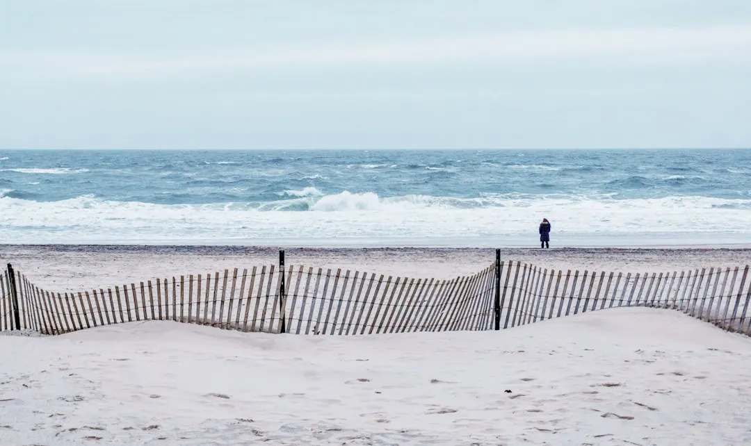
Area Hazards and ConsiderationsBefore you embark, be aware of the area’s hazards. The waters around East Hampton can be tricky due to sandbars and shoals, especially near the inlets. Always consult your nautical charts and look for navigational aids such as buoys marking channels. Once you’re a few nautical miles out, the waters become deeper and notably more straightforward.
First Leg: East Hampton to Sag HarborYour first leg will take you westward towards Sag Harbor, only about 9 nautical miles away. This quaint harbor is a wonderful stop as you can tie up at the public dock or nearby marinas. The views of the picturesque town are delightful, and you can take a stroll through the historic district, grab a bite at one of the local eateries, or visit the Whaling Museum.
Navigational Aids and Points of InterestOn this leg, keep an eye out for the Sag Harbor Lighthouse as a visual guide (you can't miss it). Be mindful of the weekday fishing boats and the activity in this bustling harbor, as it can get busy, especially in the summer months. Remember the speed limits in crowded areas to ensure safety for all.
Bays for ShelterIf the weather turns, Sag Harbor offers excellent shelter from prevailing winds and is a safe harbor with very accommodating amenities. You may also consider Noyac Bay as another option just past Sag Harbor, noted for its calmness but always check the local weather forecasts for sudden changes.
Second Leg: Sag Harbor to Shelter IslandFrom Sag Harbor, continue westward across Sag Harbor Bay towards Shelter Island, which is about 10 nautical miles away. The trip across the bay is scenic, with stunning views of the maintained natural landscapes around you. Shelter Island is a serene location, perfect for a short break.
Shelter Island ConsiderationsUpon arrival, you can either circle Shelter Island Sound or dock at one of the local marinas. If you're in the mood for some exploration, try to visit the Mashomack Preserve—a splendid nature reserve perfect for a hike or a scenic picnic.
Hazards and Notes for This LegWatch for ferry traffic during your approach to Shelter Island, as it's a popular route for local ferries that transport residents between the island and the mainland. Use your VHF radio to stay updated and visible; this helps ensure safe passage through busy routes.
Final Leg: Shelter Island to Port JeffersonThe last stretch is about 8 nautical miles across the Great South Bay towards Port Jefferson. Keep vigilant for local fishing vessels and recreational boaters, especially during weekends. In this region, you will encounter navigational buoys and markers—make sure you are adept at identifying these aids to ensure you're on course.
Arrival at Port Jefferson, NYAs you approach Port Jefferson, you’ll see the unmistakable ferries docking and leaving. Pinpointing your route will be essential here due to the busy nature of the town. The harbor is well-equipped and offers a delightful waterfront area with shops and restaurants—the perfect reward after a day on the water.
Safety Tips and RegulationsThroughout your journey, uphold the principles of safe boating. Keep a lookout for indicators of changing weather, always wear life jackets, and have a reliable means of communication. Carry a marine VHF radio for emergencies and consult local regulations regarding anchorage areas and seasonal restrictions, especially during fishing season.
For navigational assistance, consider using savvy navvy along with other applications like Navionics or Waterway Guide to ensure you have the best maps and weather data available.
This route is particularly suitable for recreational boaters looking for a mixture of tranquility and exploration. The transition from hospitality to nature while keeping the water safety at the forefront makes it a rewarding adventure. Enjoy your journey!