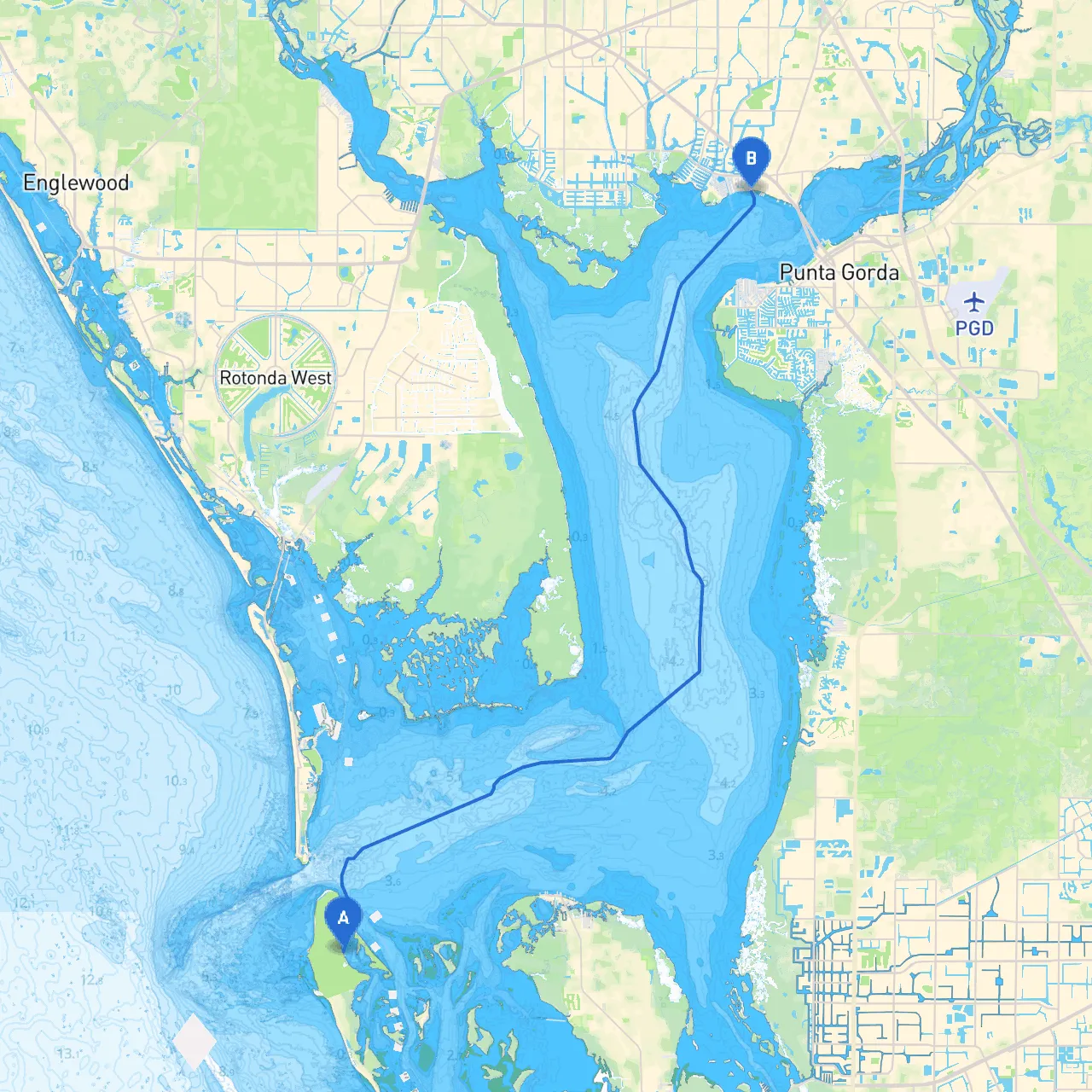
Pilotage Plan from Cayo Costa, FL to Port Charlotte, FL
Overview:This journey from Cayo Costa to Port Charlotte is an exciting route that offers a blend of serene waterways and navigable channels, perfect for leisure boaters and enthusiasts alike. The trip is approximately 10 nautical miles and can be comfortably completed in a few hours, depending on your speed. Let’s delve into a detailed pilotage plan that prioritizes safety while also highlighting points of interest for a memorable experience on the water.
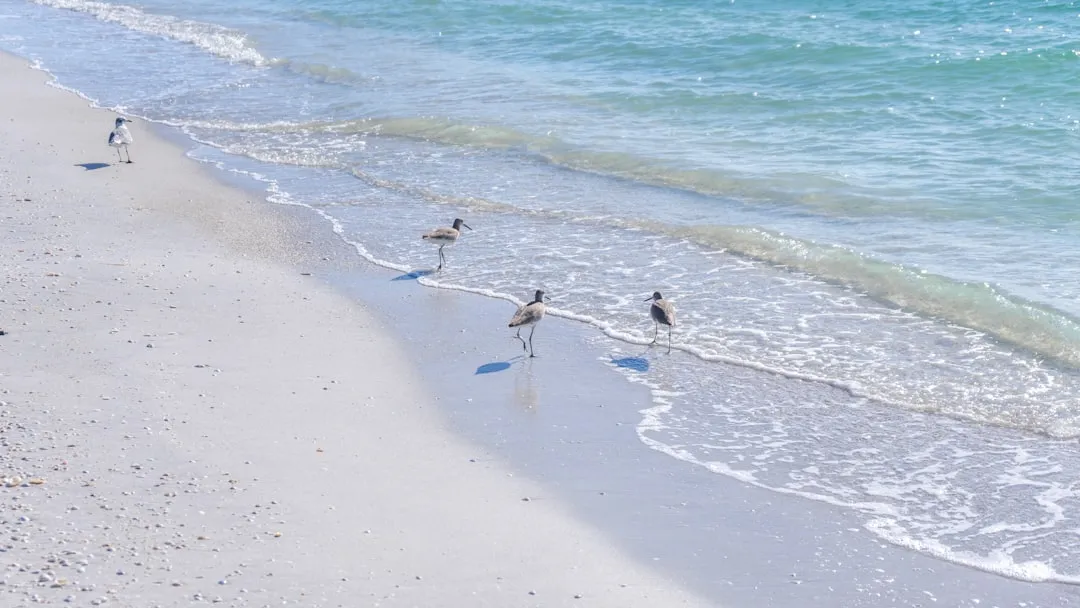
Starting Point: Cayo Costa, FLCayo Costa is a beautiful state park known for its unspoiled beaches and natural beauty. Before setting off, ensure your vessel is well-prepared. Check the weather conditions as forecasts can change rapidly in this region. Once you feel ready, cast off from the Cayo Costa State Park boat ramp, following these navigational pointers.
Route Navigation:1. Departure from Cayo Costa: Head northwest from the park towards the markers indicating the channel leading out of Cayo Costa Passage. Make sure to stay alert for local boat traffic, as this area can sometimes be busy.
2. Cayo Costa Passage: This narrow channel connects Cayo Costa to the open waters of the Gulf of Mexico. Pay close attention to the day marks (red and green markers) to ensure you're navigating the deep-water channel safely. Use the chart plotter or nautical charts to monitor depths, as shallow areas can be present, especially at low tide.
3. Open Water Transit: After exiting the passage, you’ll find yourself in open waters. Here, weather conditions can change quickly; hence, it’s advisable to monitor local forecasts regularly. The waters are wide and generally safe but watch for local fishing vessels.
4. Entering Charlotte Harbor: As you approach the northern parts of Charlotte Harbor, be prepared for varying currents and potential boat traffic. Stay alert as you enter the harbor and look for the prominent navigation aids marking the entrance.
5. Navigating Charlotte Harbor: This is a significant area frequented by various watercraft. Keep your speed in check and be watchful for wildlife — manatees and dolphins can often be seen here. Remain within the marked channels for safe passage.
6. Into the Canals: As you proceed further into the harbor, you’ll find the entrance to Port Charlotte just ahead. This is heavy recreational boating territory, so maintain a lookout for other vessels and abide by any local speed restrictions indicated by signage.
Points of Interest:
Sheltering Bays:In the event of inclement weather:
Important Safety Considerations:
Useful Apps:I recommend using savvy navvy along with traditional nautical charts for enhanced navigation support. Other boating apps can also provide real-time weather updates and community reports from fellow boaters that may help during your journey.
Conclusion:This route is beautifully suited for recreational boaters who appreciate both scenic landscapes and the thrill of navigating busy waters. With careful preparation, attentive navigation, and a respect for the local environment, the journey from Cayo Costa to Port Charlotte is sure to be an enjoyable and safe adventure. Enjoy your time on the water!