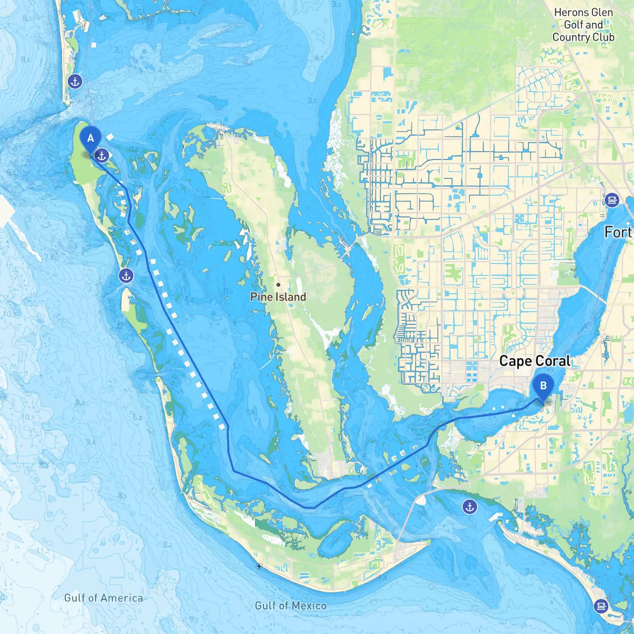
Pilotage Plan: Cayo Costa, FL to Fort Myers, FL
Overview:This itinerary from Cayo Costa to Fort Myers is not only a journey through scenic waters but also an opportunity for safe and enjoyable boating, with several possible stopovers that provide shelter and attractions should the weather change or if you’re seeking a break in your journey. This route is ideal for a variety of boaters, from those in smaller crafts navigating the coast to larger vessels looking for a pleasant day out.
Departure from Cayo Costa
Starting from Cayo Costa (coordinates: -82.244993, 26.685862), ensure your vessel is seaworthy and equipped with all necessary safety gear—including life jackets, a VHF radio, and a first aid kit. Before casting off, check the local weather forecasts, tides, and any navigational warnings.
Initial Leg: Cayo Costa to Pine Island Sound
As you depart Cayo Costa, head northeast into Pine Island Sound. This area is known for its broad expanses and plentiful wildlife. Keep an eye out for navigational aids as you navigate through the shallow waters. The Sound can be quite busy, especially on weekends, so maintain a vigilant watch for other vessels, particularly kayakers and paddleboarders who frequent these waters.
Points of Interest:
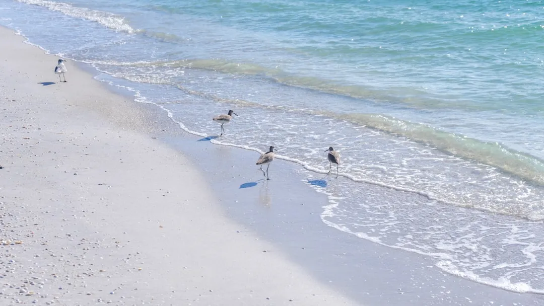
- Cayo Costa State Park: Lush nature trails and pristine beaches. A perfect stop if you wish to stretch your legs or have a picnic.
- Pine Island: Consider a quick detour to drop anchor and explore the quaint shops and restaurants that showcase local artisan work.
Sheltering Options
If the weather turns unfavorable, you can find sheltered bays such as:- Bokeelia: A calm anchorage on Pine Island featuring some essential services.
- Matlacha Pass: Well-known for its colorful artsy scene, this area also offers natural cover from stronger winds.
Second Leg: Navigating to Fort Myers
Continue your course from Pine Island Sound towards the mouth of the Caloosahatchee River heading to Fort Myers. Pay attention to channel markers as the current can be swift near the river’s inlet.
Navigational Aids and Hazards:
- Buoys and Markers: Key navigational aids to locate—be particularly aware of red-right-return rules as you approach tighter passages.
- Shallow Areas: Keep in mind the depth changes, especially in areas around San Carlos Bay. Checking your chart and maintaining your position is crucial.
Points of Interest:
- Fort Myers Beach: If time allows, anchor off Fort Myers Beach for a fun, sandy stop. Restaurants and shops abound.
- Mickey’s Boat Rentals: If you want to extend your journey in Fort Myers, consider renting a different kind of vessel to explore local waterways.
Arrival at Fort Myers
As you approach the final destination, Fort Myers (coordinates: -81.938, 26.535667), be aware of the increasing boat traffic. Adhere to all regulations and speed limits posted along the river to ensure a smooth landing.
As you dock in Fort Myers, remember to check for local instructions regarding docking, fees, and other visitor requirements. Enjoy your time exploring the historical sites and vibrant life that Fort Myers has to offer!
Safety Recommendations:
- Weather Check: Stay updated with apps for latest weather conditions. I recommend using Savvy Navvy for real-time weather updates.
- Traffic Awareness: Don’t forget to watch for commercial shipping traffic as you near Fort Myers, particularly at certain times of day.
- Emergency Protocols: Always have an emergency plan, including knowledge of nearby hospitals or assistance services.
This itinerary combines practicality with the beauty of Florida’s coast, making it an enjoyable journey for seafarers of all kinds while ensuring safety remains paramount. Happy boating!