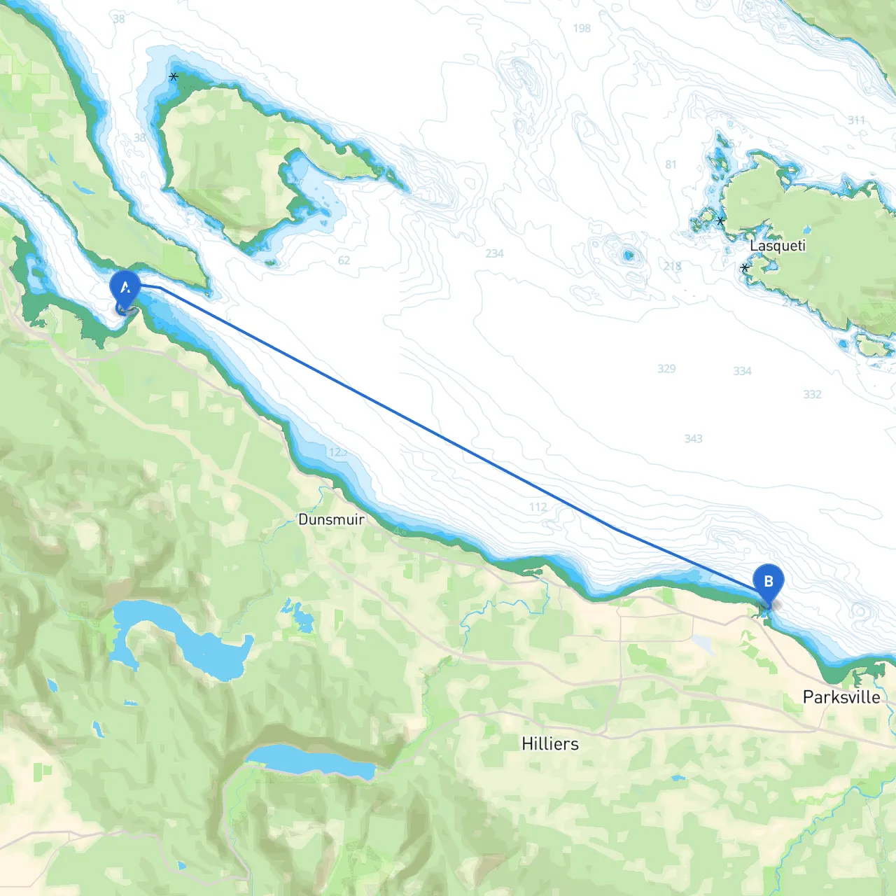
Pilotage Plan: Bowser, BC to Parksville, BC
Overview:This route from Bowser to Parksville along the eastern shore of Vancouver Island is perfect for the leisure boater looking for a serene experience intertwined with natural beauty. Spanning approximately 10-12 nautical miles, this journey comprises a diverse mix of scenic views, wildlife spotting opportunities, and safe havens should the weather take an unexpected turn.
Route Description:
Starting Point: Bowser, BC
- Coordinates: 49.46435 N, -124.73334 W
- Before setting off, ensure your vessel is adequately prepared for the trip. Check safety equipment, fuel levels, and weather forecasts.
Leg 1: Bowser to Deep Bay
- Distance: Approximately 3 nautical miles
- Navigational Points: After departing Bowser, head southeast, keeping an eye on the shallow waters along the coastline. Watch out for buoys marking safe passages as you approach Deep Bay.
- Point of Interest: Deep Bay Marina (49.37028 N, -124.82376 W) - A great place to dock for a meal or to refuel. The Bay offers stunning views, and the nearby shops can be a nice break from the journey.
- Shelter: Should the weather become inclement, Deep Bay offers a well-protected harbour ideal for sheltering from storms.
Leg 2: Deep Bay to Qualicum Beach
- Distance: Approximately 4 nautical miles
- Navigational Aids: As you leave Deep Bay, ensure to stay clear of the 'Deep Bay Rocks' marked by navigational aids — they can be challenging to spot from a distance. Monitor local fishing pots in the area too.
- Point of Interest: Qualicum Beach (49.37712 N, -124.62635 W) - A lovely stop where you can stretch your legs on the beach, visit the charming local market, and enjoy delicious seafood from nearby restaurants.
- Shelter Considerations: The beaches provide some cover, but keep in mind that winds can kick up from the northwest.
Leg 3: Qualicum Beach to Parksville
- Distance: Approximately 5 nautical miles
- Follow the coastline directly south toward Parksville, ensuring to remain within local navigation lanes. Watch for local water traffic and seasonal boats.
- Point of Interest: Parksville Community Beach - Known for its expansive sandy shores and tidal pools, it’s perfect for family-friendly outings and beachcombing.
- End Point: Parksville (49.35184 N, -124.35467 W) - Upon arrival, take advantage of several marinas that offer amenities such as dining and supplies.
Safety Considerations:
- Weather Checks: Monitor the local marine weather before and during your trip. Conditions can change quickly, and being prepared makes for a safer voyage.
- Navigation Restrictions: Be aware of local fishing regulations and navigational buoys, especially during the peak fishing season.
- Vessel Monitoring: Keep a lookout for local fishing boats and recreational vessels. Maintained vigilance is crucial for a safe passage.
Recommended Apps:
- Savvy Navvy: This app is excellent for planning your route and tracking your position in real-time on the water.
- Navionics: Offers detailed charts and navigational aids.
- MarineTraffic: Useful for understanding vessel traffic in the area.
Conclusion:This route from Bowser to Parksville combines stunning coastal views, opportunities for wildlife spotting, and safe harbors for unexpected conditions, making it an excellent choice for both novice and experienced boaters. As you navigate from sheltered harbors to beautiful beaches, this journey promises a memorable day on the water with safety as a top priority. Enjoy your adventure!