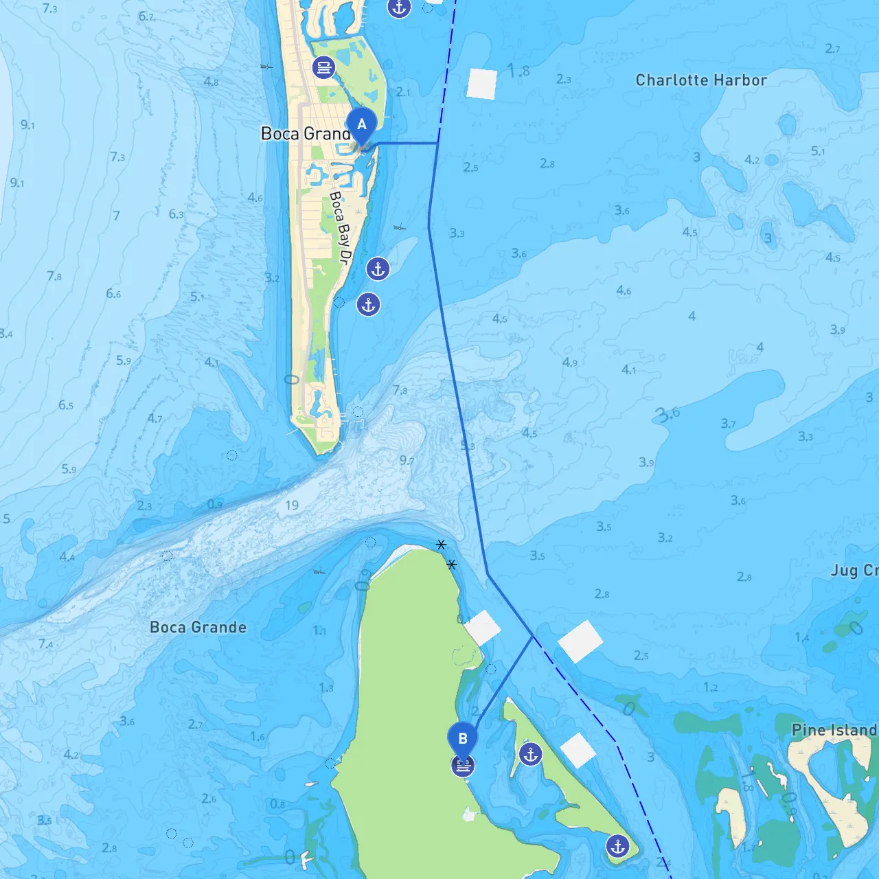
Pilotage Plan from Boca Grande, FL to Cayo Costa, FL
Overview of the Journey Embarking on this journey from Boca Grande to Cayo Costa is an exhilarating experience for seasoned boaters and novices alike. This short cruise, approximately 6 nautical miles, takes you through the scenic waters of Charlotte Harbor, where the pristine coastlines meet tranquil islands. Whether you're seeking a day's adventure or a tranquil escape, this route is tailored for your pleasure.
Departure: Boca Grande As you set off from Boca Grande, renowned for its charming village atmosphere and lush natural scenery, be sure to gather your equipment and double-check your vessel's mooring lines. Boca Grande is well-marked, and navigating out of the harbor is straightforward. Pay attention to the local marinas and potential gas docks should you need to refuel your journey.
Navigational Hazards As you head out, be mindful of the channel markers that guide you through the Boca Grande Pass. This narrow channel is subject to tidal currents, so plan your departure for favorable conditions. Additionally, keep an eye out for local fishing vessels, as commercial activities are common in this area.
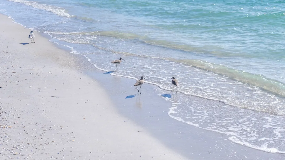
Points of Interest Along the Route As you cruise southward toward Cayo Costa, consider taking a moment to appreciate some local wildlife, particularly the dolphins and seabirds that frequent this region.
1. Gasparilla Island: Keep an eye on Gasparilla Island on your starboard side. This island features beautiful beaches and historical landmarks, such as the Gasparilla Island Lighthouse. If conditions are right, consider a quick beach stop here before heading on.
2. Charlotte Harbor Preserve State Park: You may want to swing by the park to explore its mangroves and estuarine environments. The tranquility found here is perfect for short hikes or bird watching.
Potential Shelter Locations If the weather turns south, or should unexpected squalls arise, seek refuge in one of the many nearby bays:
Finding Your Way: Navigational Aids As you navigate this route, a reliable chartplotter is essential. Look for the following markers and aids:
1. Channel Markers: Familiarize yourself with the lateral markers in this area to maintain your position in the channel.2. Buoys and Lights: The navigation buoys are critical for safe passage. Don't forget to consult your nautical charts for any additional detail.3. VHF Radio Channels: Tune into VHF Channel 16 for safety communications and for updates on weather or marine traffic.
Local Restrictions and Regulations Be aware of the no-wake zones that exist near Cayo Costa, particularly around the interior waterways where wildlife is prevalent. Additionally, some areas may have restrictions during nesting seasons for birds, which are typically noted on local charts or announced over VHF channels.
Conclusion: A Journey Tailored for All Boat Enthusiasts This route blends safety and adventure perfectly, making it ideal for both experienced sailors and those new to the water. The charm of the coastal scenery, the ever-present chance to see local wildlife, and the accessibility of sheltered bays make for a memorable experience.
Don’t forget to equip yourself with useful boating apps like Navionics, PredictWind, and savvy navvy to keep track of weather and tides, ensuring a safe and enjoyable voyage. Adhering to safety first will leave you with lasting memories, urging you to return to these enchanting waters soon. Happy cruising!