Pilotage Plan: Bellmore, NY to Staten Island, NY
Overview
This route from Bellmore to Staten Island presents a blend of coastal scenery, interesting landmarks, and the opportunity for a memorable boating experience. It is an excellent choice for sailors of varying skill levels, particularly those with some prior experience on coastal waters. Prioritizing safety and navigation accuracy, this journey promises both adventure and serenity.
Route Description
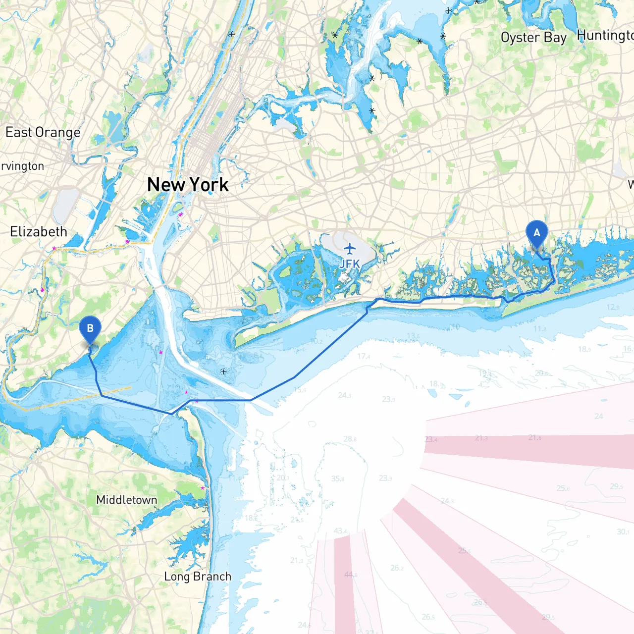
The trip to Staten Island spans approximately 20 nautical miles, navigating through the southern parts of Long Island and into New York Harbor. This route, while relatively straightforward, requires attentiveness to maritime navigation protocols due to varying vessel traffic and coastal conditions.
Starting Point: Bellmore, NY
- Depart from Bellmore, keeping a close eye on local fishing boats, as this area is popular for recreational fishing. Use the nearby navigational aids such as the Bellmore side marker buoy (specific buoy numbers can change, so refer to your nautical chart).
Notable Shelters and Points of Interest
- Wantagh Park: Traveling northward, you can stop at Wantagh Park, an excellent spot for a picnic or a short hike. The protected waters here offer a good spot to take cover should inclement weather arise.
- Jones Beach State Park: As you continue onward past Jones Inlet, consider a brief detour to the stunning shores of Jones Beach. Known for its expansive sandy beaches, it’s a perfect location for swimming or relaxing before continuing your journey.
- Fire Island National Seashore: If conditions allow, navigate close to Fire Island. This area is not only picturesque but also provides several small inlets for shelter if needed, especially if wind patterns change suddenly.
Course Navigation and Hazards
As you negotiate southward through the Great South Bay towards the Fire Island Inlet:- Hazards: Watch for shifting shoals and fishing vessels; their presence can change depending on the time of day and season.
- After Fire Island Inlet, you will transition into open waters towards the New York Harbor approach. Monitor for barge traffic, especially near Ambrose Channel, which connects the harbor to the Atlantic Ocean.
Navigational Aids and Local Regulations
- Navigational Aids: You’ll want to pay special attention to the navigational buoys marking these channels. Ensure your charts are current, which can be done easily through apps such as Savvy Navvy to identify buoys, obstacles, and weather conditions.
- Local Regulations: Keep in mind the speed restrictions in certain areas, particularly as you enter New York Harbor. Areas near the Statue of Liberty and Ellis Island can experience heavy traffic and are subject to additional regulations.
Arrival: Staten Island
As you approach Staten Island:- Points of Interest: Once docked, visit the Staten Island Ferry terminal; the ferry offers a unique perspective on the harbor. You can also explore Snug Harbor Cultural Center, which often hosts art exhibits and gardens worth seeing.
- Sheltering Options: The waters around Staten Island provide ample marinas and slips for transient boating, which offer good protection from the elements should you wish to stay awhile or take shelter from bad weather.
Conclusion
This planned route from Bellmore to Staten Island beautifully marries navigational challenge with the opportunity for fun and moments of tranquility. Remember to continuously monitor weather updates, respect other vessels, and maintain a watchful eye for navigational aids and changing sea conditions. Your trip promises adventure and scenic enjoyment while providing all necessary measures for safety on the water.