Pilotage Plan: Bayside, NY to Brooklyn, NY
Overview
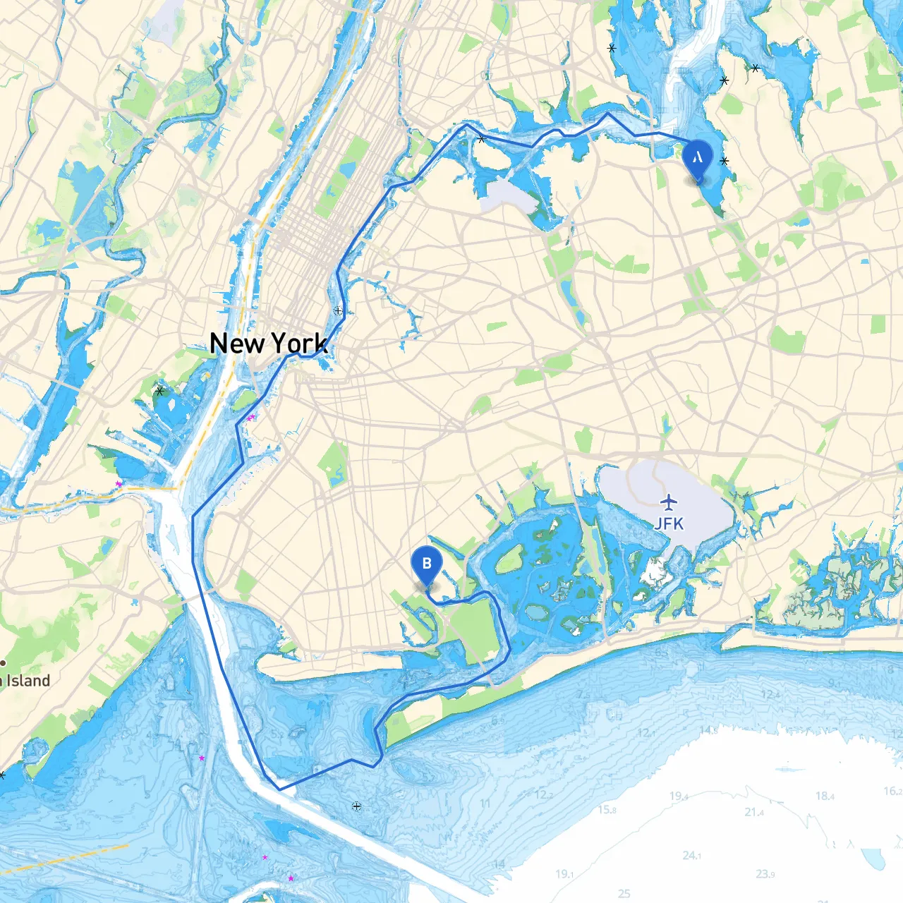
This trip will take you from the scenic Bayside area of Queens, NY, to the vibrant and bustling borough of Brooklyn. This is a picturesque journey, filled with opportunities for exploration and enjoyment, while still prioritizing safety. The route takes you through notable waterways, surrounded by landmarks and facilities that can enhance your boating experience.
Start Point: Bayside, NY
Coordinates: Long: -73.768150806427 | Lat: 40.77951779288659
As your journey begins in Bayside, the area is sheltered, offering a sanctuary for both novice and seasoned boaters. Before setting off, ensure your vessel is secure, stocked with safety equipment, and familiar with navigational aids in the area.
Notable Landmarks
- Fort Totten Park: As you depart, take a moment to enjoy the view of Fort Totten, a historic military installation with beautiful grounds. It can be an interesting spot for a brief stop.
Route Section 1: Across Little Neck Bay
From Bayside, head southwest through Little Neck Bay. This section is mostly protected and offers calm waters. Watch out for the
Little Neck Bay yacht club and Marina
- they can provide a great pit stop if needed for fuel or refreshments.
Navigation Considerations:
- Pay attention to local boat traffic and be mindful of marked channels to avoid shallows.
- Follow the navigational buoys which lead you safely through this bay.
Shelter Spot: Manhasset Bay
About midway through your route, consider making a brief stop at
. This bay is a fantastic refuge should weather conditions turn unfavorable. It's known for its calmness and beautiful views.
Route Section 2: Approaching the East River
As you steer towards the East River, you’ll encounter increased water traffic but also a thrilling perspective on New York City’s skyline. Transit through
Throgs Neck and Whitestone Bridges
, taking special care to keep a safe course due to potential strong currents.
Important Hazards:
- Be cautious of the ferry routes and larger vessels navigating these waterways.
- Maintain a respect for the No Wake Zones, especially near residential areas, as it helps preserve the local marine environment.
Notable Points of Interest
- Rikers Island: As you cruise past, it's an excellent opportunity for some unique sightseeing, even if you don't plan to stop.
- Astoria Park: Offers recreational facilities along the waterfront, a lovely area to appreciate the city skyline.
Final Approach to Brooklyn
When approaching Brooklyn, pay close attention to the
and be mindful of freight movement along the industrial parts of the waterway. The navigation aids in this area are crucial; active monitoring of your position relative to buoys is advisable.
Shelter Spot: Brooklyn Harbor
As you enter Brooklyn, the
provides another great haven for shelter should you face sudden weather changes. The harbor is well-regulated and equipped with various amenities.
Conclusion and Recommended Apps
This route from Bayside to Brooklyn is suitable for recreational boaters and experienced navigators alike, providing a blend of adventure and culture. You’ll enjoy picturesque views while having options for stops and safety.
Safety Tips:
- Always maintain a lookout for navigational lights and markers.
- Stay informed about local boating regulations via resources such as NOAA and local boating organizations.
For added assistance, consider using boating apps like savvy navvy. It provides essential routing info, weather updates, and crucial navigation details to keep your journey safe and enjoyable. Other apps such as Navionics and iNavX are also useful for charting your course and checking local conditions.
Enjoy the journey, but always keep safety at the forefront of your adventure!