
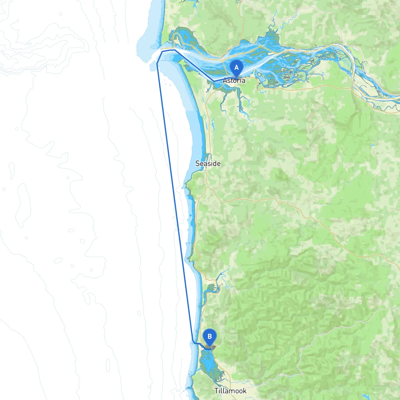
Pilotage Plan: Astoria, OR to Garibaldi, OR
Route Overview
This picturesque journey from Astoria to Garibaldi reveals the stunning beauty of the Oregon Coast, winding through diverse coastal landscapes, iconic lighthouses, and opportunities to experience the vibrant marine life that flourishes in these waters. Ideal for cruising sailors and powerboaters alike, this route offers ample opportunities for exploration while prioritizing safety amidst the unique challenges presented by the coastal environment.
Departing from Astoria, OR
Astoria, located at the confluence of the Columbia River and the Pacific Ocean, is a historic port town with charming waterfront areas. Before setting off, make sure to check the weather conditions, tidal information, and any relevant navigational charts, as the Columbia River can be unpredictable.
First Leg: Astoria to Tongue Point
Immediately upon departure, you'll navigate past Tongue Point, which is a critical navigation point. Be cautious of the currents here, as strong tides can create choppy waters. There are anchorage options available for a quick stop if the weather changes unexpectedly. This area holds rich maritime history, and you might catch a glimpse of the historical Astoria-Megler Bridge.
Shelter Option: Youngs River Mouth
Continue on toward Youngs River Mouth where the river meets the ocean. This area provides excellent shelter in adverse weather, with calm waters to drop anchor temporarily. It's a great spot for fishing or birdwatching, with a thriving population of migratory birds.
Next Leg: Cape Disappointment
As you proceed south, aim for Cape Disappointment. The landmark lighthouse here is not only picturesque but serves as a reliable navigational aid. However, this area can experience fog and rough seas, so always keep an eye on updates regarding visibility. This coast is dynamic, so watch for shifting sands and submerged rocks.
Shelter Option: Willapa Bay
If conditions worsen, consider heading into Willapa Bay, which offers safe anchorage and is rich in marine life. The bay is ideal for fishing, crabbing, and exploring historic sites like the old towns of Grayland and Long Beach.
Further South: Tillamook Head
After navigating past the cape, make your way toward Tillamook Head. The headland is marked and well-documented, but beware of any sudden shifts in wind conditions. Use your charts and GPS carefully, tracking local navigation aids:
Arriving at Garibaldi, OR
As you approach Garibaldi, the entry into the bay is marked by a variety of aids, allowing for an easier transition into the calming waters of the harbor. The local community is welcoming, and you’ll find some excellent docks to tie up. In Garibaldi, don't miss the chance to visit the Garibaldi Maritime Museum, which adds a cultural dimension to your trip.
Potential Hazards and Local Regulations
Recommended Boating Apps1. Savvy Navvy - This app is fantastic for route planning and real-time information.2. Navionics - Great for detailed nautical charts and local condition updates.3. Windy - Useful for checking wind conditions, which can be crucial in these waters.
Overall, this trip from Astoria to Garibaldi is ideal for recreational boaters, from seasoned sailors to newer entrants. The route offers a rich blend of history, scenic beauty, and safety with various harbor options for shelter. Careful planning and attentiveness to conditions will ensure a safe and enjoyable trip along the majestic Oregon coastline. Enjoy the journey!