
Pilotage Plan: Antioch, CA to West Sacramento, CA
Route Overview
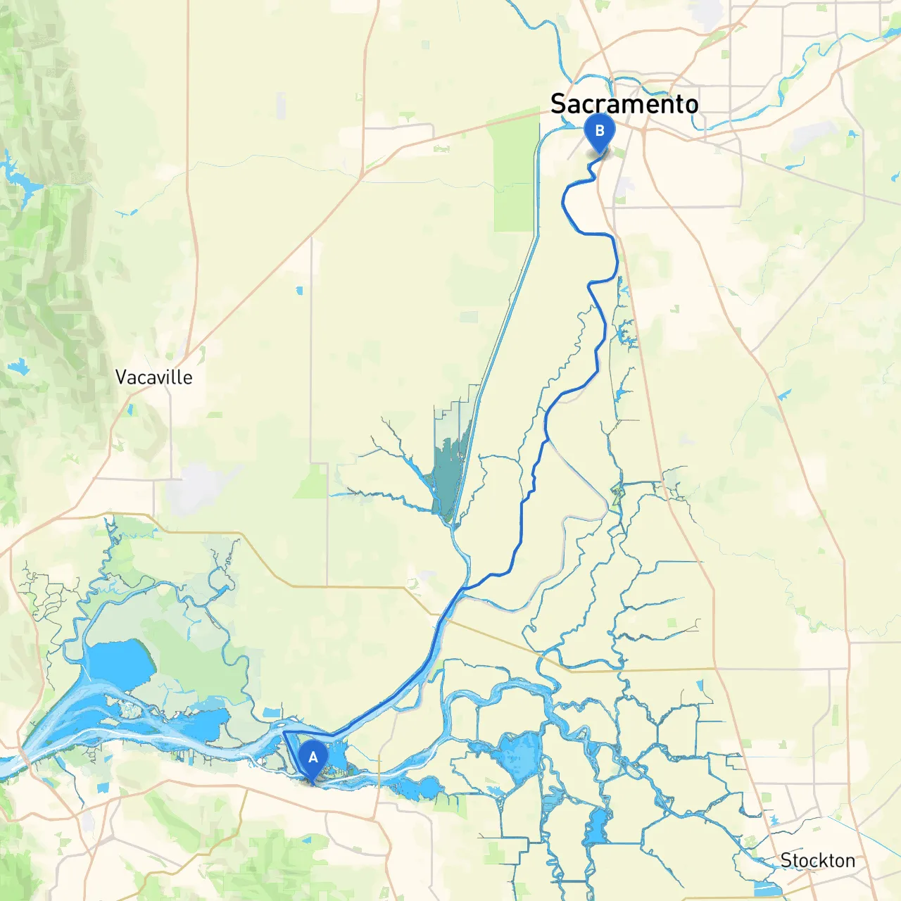
Embarking on a journey from Antioch to West Sacramento along the scenic waterways of California offers a delightful mix of natural beauty and unique attractions. This route primarily follows the San Joaquin River, transitioning from the Delta region into the heart of the Sacramento area. The trip is suitable for recreational boaters who seek a mixture of calm waters and gentle currents, making it perfect for both novice and experienced mariners.
Departure from Antioch
Your adventure begins in Antioch, a welcoming city with rich history and beautiful river views. Before you set off, be sure to perform the necessary checks on your vessel. Ensure that life jackets are onboard, your communication devices are functioning, and that you have a reliable means to navigate - whether that's GPS or traditional charts.
Navigational Aids and Hazards
As you cruise from Antioch, remember to keep a keen eye on navigational aids. The San Joaquin River is heavily marked with buoys indicating safe channels, but be watchful for shallow areas, especially near the mouths where tributaries join.
One notable hazard is the Contra Costa County's Benicia-Martinez Bridge. Although it's a spectacular sight, ensure you maintain clearance by approaching at the recommended angles and avoiding the channel designated for larger vessels. Additionally, the river's currents can be challenging during peak tidal flows, particularly around the confluence with the Sacramento River, requiring sailors to adjust throttle and steer circumstances.
Points of Interest Along the Route
1. Big Break Regional Shoreline: After about 6 miles from Antioch, you can stop at Big Break Regional Shoreline. This expansive park offers picnic areas and beautiful views of the delta, making it a pleasant spot to relax and stretch your legs.
2. Discovery Bay: Just a bit further along, Discovery Bay is a charming community that’s perfect for a quick stop. Here, you’ll find local dining options and friendly residents. Moreover, the bay itself provides a safe harbor in case of inclement weather.
3. Isleton: As you continue towards Isleton, you'll discover a quaint little town steeped in history, complete with charming shops and restaurants. It's a fantastic place to refuel and enjoy the sights along the picturesque waterfront.
4. Frank's Tract State Recreation Area: This expansive area offers several channels ideal for exploration. If you’re lucky, you can spot local wildlife, including various bird species. It's a perfect spot to anchor for lunch.
Navigational Considerations
As you approach West Sacramento, attention must be paid to the Sacramento River. The river draws significant commercial traffic, so always monitor VHF radio channels for updates on larger vessels, especially around the Sacramento deepwater channel. Be aware that some bridges in this area have height restrictions, so confirm your vessel’s specifications before proceeding under them.
Local regulations stipulate a slow speed near marinas and residential areas to minimize wake and protect local wildlife. Always display proper safety markings on your boat, adhere to local speed limits in designated channels, and ensure that you are respecting fishing and recreational zones.
Shelter Considerations
In case weather conditions turn unfavorable, either Discovery Bay or the marinas near Isleton could serve as excellent points for shelter. If you are caught up the river, consider making your way into the marina at West Sacramento for a safe haven, as they have facilities to assist boaters during alleged weather events.
Suggested Boating Apps
Before you set out, equip yourself with essential navigation tools to ensure safe and enjoyable traversing. I highly recommend using savvy navvy, along with other apps like NOAA Weather Radar and MarineTraffic for real-time vessel tracking.
Embarking on this adventure from Antioch to West Sacramento is not just a trip; it's an exploration of California's stunning waterways, rich wildlife, and vibrant seaside communities. While safety should always be of utmost priority, the journey itself presents splendid opportunities for fun and relaxation amid nature’s resplendence. Enjoy your voyage!