Pilotage Plan: Wakefield, RI to Norwich, CT
1. Route Overview
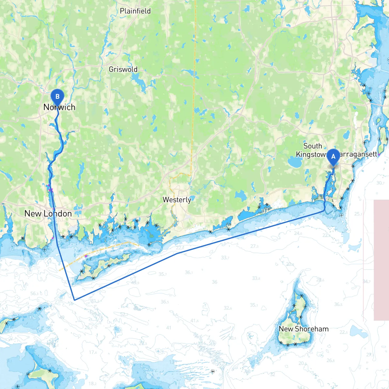
This route from Wakefield, Rhode Island, to Norwich, Connecticut, spans approximately 24 nautical miles, offering a delightful blend of coastal exploration and serene waters. Ideal for intermediate boaters, this journey travels through the picturesque coastal waters of southern New England, providing both safety and enjoyment. The route mainly traverses the calm inlets and rivers of southern Rhode Island and Connecticut, with plenty of opportunities for safe harbor along the way.
2. Points of Interest
As you embark on this odyssey, several noteworthy spots cater to various tastes, from historical sites to breathtaking landscapes:
- Point Judith: Just off your route, this significant geographical point provides scenic vistas and shelters from rough seas. It’s a great spot for a brief tour and photography.
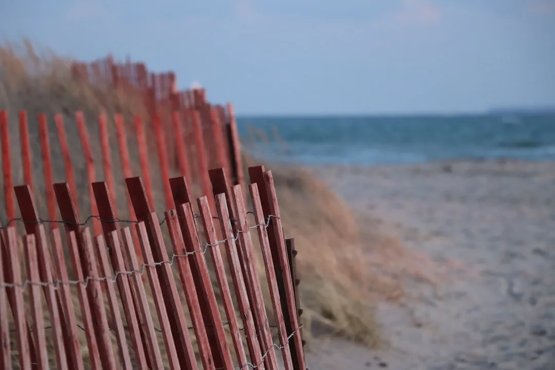
- Scarborough State Beach: A stunning beach that offers a perfect place for a picnic or just relaxing on the shore. Accessible by small dinghy-style vessels.
- Fort Adams State Park: Located in Newport and worth a detour, this historic fort offers tours that highlight its importance in naval history.
- Mystic Seaport: As you approach your waypoint into Connecticut waters, Mystic Seaport is an incredible museum of American maritime history. A great stop to stretch your legs.
3. Shelter Options
Weather can be unpredictable, especially in coastal areas. Here are a few excellent bays and harbors where you can seek refuge if the weather deteriorates:
- Narragansett Bay: This large and relatively sheltered bay allows for safe harbor, particularly in storms. The Portsmouth side offers numerous marinas and amenities.
- Pawcatuck River: A peaceful estuary offering both shelter and some great views. The river provides access to small marinas and docks.
- Niantic Bay: Just before reaching Norwich, Niantic Bay is well-marked and spacious, ideal for waiting out inclement weather.
4. Navigational Considerations
As you set out, here are some important navigational aids and considerations to keep in mind:
- Chart Reading: Always have updated nautical charts for the area; both paper and digital versions should be on hand.
- Buoys and Markers: Pay close attention to the navigational buoys, especially around the entrances to rivers and inlets. Note the colors and shapes, as they indicate safe channels.
- Depth Soundings: Be aware of changing depths, particularly near Point Judith and as you enter George C. Waldo State Park area—shallow spots can sneak up on you!
5. Regulations and Restrictions
While enjoying your journey, ensure you are compliant with local regulations:
- Speed Limits: Generally, 6 knots are enforced in many coastal areas and near marinas. Watch for posted signs and adjust your speed accordingly.
- Wildlife Protection: Be cautious of areas designated for wildlife preservation. These zones often prohibit anchoring and may have additional speed restrictions.
- Fishing Licenses: If you plan to fish, ensure you have the appropriate fishing licenses valid in both states.
6. Safety Measures
Prioritize safety by preparing your vessel and crew:
- Life Jackets: Ensure that life jackets are available for all passengers, preferably worn while on deck.
- Communication Equipment: A VHF radio is essential for communication with other vessels and the Coast Guard. Always monitor channel 16.
- Weather Monitoring: Use apps like Savvy Navvy and NOAA Weather to keep abreast of conditions and any weather warnings as you travel.
Conclusion
This journey from Wakefield to Norwich is ideal for the boater seeking a blend of adventure and tranquility. With stunning coastal views, interesting historical landmarks, and plenty of opportunities for safe harbor, you’re in for a memorable experience. Follow this pilotage plan, keep safety at the forefront, and relish the beauty of Rhode Island’s and Connecticut’s coastal waters. Happy boating!