Pilotage Plan: Virginia Beach, Virginia to Williamsburg, Virginia
This journey from Virginia Beach to Williamsburg is perfect for both novice and experienced boaters, offering a delightful mix of coastal scenery and rich historical charm. As you navigate through the waters of the Chesapeake Bay, make sure to prioritize safety and be prepared for varying conditions.
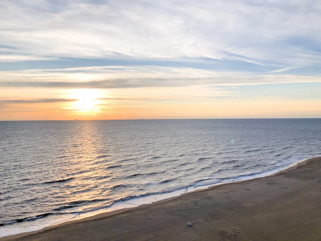
Departure from Virginia Beach
Starting from Virginia Beach, you’ll begin your trip within the Atlantic Intracoastal Waterway. This heavily trafficked channel provides a safe and well-marked passage, making it ideal for cruising.
Route Overview
- Leaving Virginia Beach:
- Head northwest out of the Lynnhaven Inlet. Keep an eye on the buoy markers as they will guide you safely out into the Chesapeake Bay.
- Pay attention to local fishing vessels and yachts. It can be lively, especially during weekends.
- First Leg: Chesapeake Bay:
- Once you enter the Bay, you can expect calm waters and beautiful coastal views. This section is largely safe, but do be cautious of the changing weather; conditions can fluctuate rapidly, especially in late afternoon.
- If the weather takes a turn for the worse, you'll find refuge in the Chesapeake Bay Bridge-Tunnelarea, which has sheltered waters and facilities if you need to dock.
- Navigating Toward Norfolk:
- As you approach Norfolk, be vigilant of naval traffic as you navigate the Elizabeth River. Collaborate with VHF channels to monitor large vessels in the area.
- Norfolk offers the chance to anchor near Waterside District for a break. Here you can step ashore to explore local eateries and shops.
- Continuing to Hampton Roads:
- After passing through Norfolk, you'll enter Hampton Roads where the waters widen. Maintain a close watch on navigational buoys and be aware of commercial shipping routes.
Old Point Comfortis a lovely spot to rest, with sandy beaches and historic forts nearby.
- Approaching the James River:
- As you navigate the James River, follow the buoys into the channel towards the Williamsburg area.
- This stretch is fairly straightforward but pay attention to tidal influences which can affect your speed.
- Points of Interest and Shelters Along the Way
First Landing State Park:Located at the north end of Virginia Beach, this park is a great spot to enjoy nature before leaving the area.
Norfolk Naval Base:Although not a docking area, it’s fascinating to view the naval vessels as you pass.
Hampton River:A sheltered area to anchor if weather conditions worsen, plus local restaurants and bars for a quick bite.
Colonial Williamsburg:As you finally reach your destination, this historic colonial town offers immersive experiences and attractions from the 18th century.
Navigational Aids
- Familiarize yourself with the navigation markers and channel markers along the route. Use your nautical charts and GPS tools actively.
- VHF radio is essential; monitor channel 16 for any emergencies or traffic communications from other vessels and the Coast Guard.
- Keep an eye on tidal changes in the James River which can significantly influence your docking and cruising speeds.
- Safety Considerations
- Weather conditions can change unexpectedly. Always check forecasts before departure and remain prepared to alter your route if necessary. Also, be mindful of sudden squalls or storms.
- Ensure all required safety equipment, such as life jackets, flares, and first-aid kits, are on board and easily accessible.
- Local regulations regarding fishing and mooring must be adhered to. Make sure you have all necessary licenses and permits, especially if you plan to fish.
- Recommended Boating Apps
For navigation and safety, consider using the following apps on your journey:
Savvy Navvy:This app provides detailed charts, routes, and anchorages that are invaluable during your trip.
Navionics:Ideal for navigating and providing local marine charts.
WeatherRad:Keep updated on weather conditions and changes along your route.
Your trip from Virginia Beach to Williamsburg is not only safe but also enriched with scenic beauty and historical significance. By sticking to safe practices and maintaining awareness of your surroundings, you’re sure to have a memorable adventure on the water!