
Pilotage Plan: Virginia Beach, Virginia to Norfolk, Virginia
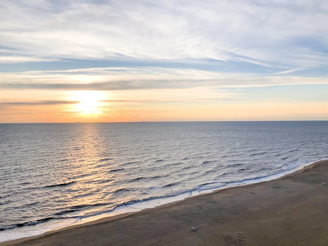
Departure Point: Virginia Beach, Virginia
Coordinates: Longitude -76.0325, Latitude 36.9014
The journey begins at Virginia Beach, well-known for its vibrant coastal lifestyle. Before you set off, ensure your vessel is prepared for a day on the water. With plenty of facilities and services available, you can stock up on necessary provisions.
Route Overview
The distance from Virginia Beach to Norfolk is approximately 17 nautical miles, mainly navigating through the picturesque waters of the Chesapeake Bay and the Elizabeth River.
Departing Virginia Beach:
Set a course to head northwest towards the mouth of the Lynnhaven Inlet. This inlet can be susceptible to tidal currents, so pay close attention to the tide tables. The charts indicate a depth of about 12 feet, which should be safe for most vessels, but it’s wise to avoid overly shallow areas near the beach and the fishing grounds.
Navigational Aids:
Lynnhaven Inlet Buoys:As you enter the inlet, heed the charted buoys marking the navigational channel. Keeping a distance from the commercial waterway is advisable as large vessels frequently navigate through here.
Lighthouse:Look out for landmarks like the Old Cape Henry Lighthouse on your route; it’s not only a historical site but also an excellent waypoint for maintaining your bearing.
Entering Chesapeake Bay:
Once you clear the inlet and are in open water, you will navigate along the Chesapeake Bay. Be mindful of commercial shipping traffic—stay aware of their paths and give them a wide berth.
Sheltering Bays:
Willoughby Bay:If the weather changes unexpectedly, Willoughby Bay is an excellent option for shelter. It's situated just south of the entrance to the Elizabeth River and has ample space for mooring.
Craney Island:Located just before entering the Elizabeth River, it can offer a rough anchorage for protection against strong winds from the south.
Local Attractions:
As you approach Norfolk, you will enter the Elizabeth River—a bustling waterway with much activity. Follow the marked navigation channels closely, as swift currents and various commercial operations can complicate your passage.
Navigational Aids:
Elizabeth River Buoys:Pay close attention to all navigation buoys and markers. The water can get congested with ferries and cargo ships coming from the terminals.
Bridges:You'll encounter several bridges spanning the river; ensure you know their clearance heights and opening schedules. Keep track of VHF radio channels to communicate with the bridge tenders if necessary.
Safety Considerations:
Before you head out, check the local weather forecasts as conditions on the water can change rapidly. File a float plan with a trusted friend or family member, share your route, and estimated return time, and ensure your safety gear is on board and functioning.
Conclusion
This journey from Virginia Beach to Norfolk is particularly suited for intermediate to experienced boaters familiar with coastal navigation. It combines the thrill of navigating bustling waters while still providing safe harbor options. The trip is filled with beautiful vistas and opportunities for exploration, ensuring a fun yet safe adventure on the water.
For navigational assistance, consider using apps like Savvy Navvy, which provides intuitive and comprehensive nautical navigation features that can enhance your trip's safety and enjoyment.